Quetrupillán things to do, attractions, restaurants, events info and trip planning
Basic Info
Quetrupillán
Panguipulli, Los Ríos, Chile
4.5(17)
Save
spot
spot
Ratings & Description
Info
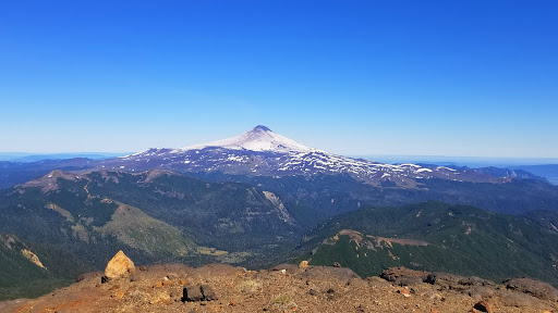
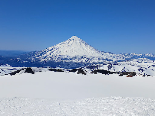
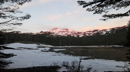
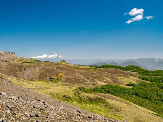
Quetrupillán is a stratovolcano located in Los Ríos Region of Chile. It is situated between Villarrica and Lanín volcanoes, within Villarrica National Park. Geologically, Quetrupillán is located in a tectonic basement block between the main traces of Liquiñe-Ofqui Fault and Reigolil-Pirihueico Fault.
Outdoor
Adventure
Scenic
Family friendly
Off the beaten path
attractions: , restaurants: , local businesses:
Plan your stay

Pet-friendly Hotels in Curarrehue
Find a cozy hotel nearby and make it a full experience.

Affordable Hotels in Curarrehue
Find a cozy hotel nearby and make it a full experience.

The Coolest Hotels You Haven't Heard Of (Yet)
Find a cozy hotel nearby and make it a full experience.

Trending Stays Worth the Hype in Curarrehue
Find a cozy hotel nearby and make it a full experience.
Reviews
Live events
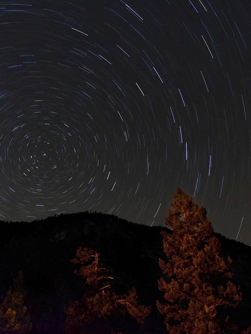
Explore the Chilean sky
Sun, Feb 8 • 9:00 PM
2510000, Pucón, Araucania, Chile
View details