Cerro Toco things to do, attractions, restaurants, events info and trip planning
Basic Info
Cerro Toco
San Pedro de Atacama, Antofagasta, Chile
4.9(91)
Save
spot
spot
Ratings & Description
Info
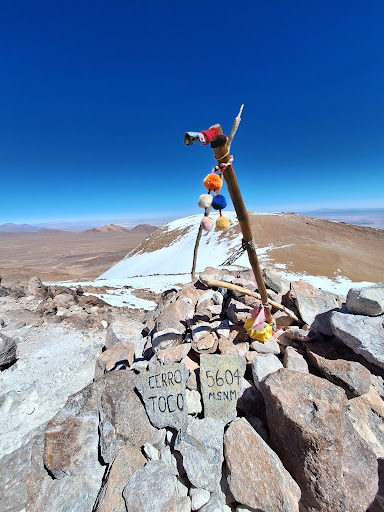
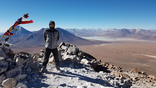
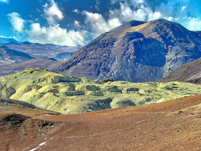
Cerro Toco is a stratovolcano located in the eastern part of the Atacama desert in Chile's II Region, approximately 6 km south of the border between Bolivia and Chile and 12 km SE of the Juriques and Licancabur volcanoes.
Outdoor
Adventure
Scenic
Off the beaten path
attractions: , restaurants: , local businesses:
Plan your stay

Pet-friendly Hotels in San Pedro de Atacama
Find a cozy hotel nearby and make it a full experience.

Affordable Hotels in San Pedro de Atacama
Find a cozy hotel nearby and make it a full experience.

The Coolest Hotels You Haven't Heard Of (Yet)
Find a cozy hotel nearby and make it a full experience.

Trending Stays Worth the Hype in San Pedro de Atacama
Find a cozy hotel nearby and make it a full experience.