We tried to visit the Serrano waterfalls that are South outside of the park. I asked if we could rent a zodiac, but all the service providers had closed due to Covid, and the kayak provider indicated that the river current was too strong to be able going up stream. However, he mentioned that there was trail that would take us to the waterfalls and
that a new bridge was built that would cross a small river.
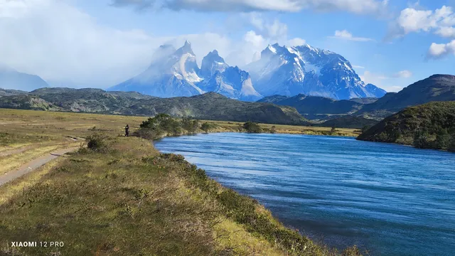
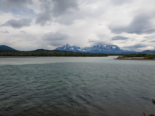
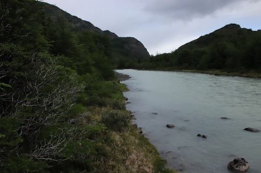
I checked google maps, the trek was about 6 linear kilometers, and almost flat. we drove through an open terrain with Patagonia grass until we found deep car tracks that would need a 4x4 jeep. GPS told us that we were not far from where the Grey river (tainted in gray) would mesh with the Serrano river that was cristal clear and had a deep blue color. From the shore you could see the mixture, but it wasn't as dramatic as I expected.
Guess you needed a drone, but not sure if they were allowed in the park or the strong winds made them inoperable; in fact, in all my visits to the park I only saw once a large Army helicopter passing by.
When we arrive to the a place where the satellite image showed a white blurred line that could be the bridge that I was told, we found that there were only remains of what was once a pedestrian bridge. After a few discussions with my son, we started to walk up stream of the small creek, expecting to find a recent bridge; as we walked the discussion grew, we stopped at a place that the water looked like a mirror and below, different colors of algae. Sandwiches we had prepared helped to ease the tension.
We continued walking up stream, discovering that my son had left his walking sticks on the place we ate; it took a while to go back and forth. Looking at the surrounding it felt that there was no bridge, gave a last chance to a patch of trees. Getting close I saw a small bridge and a trail staring from it, as we walked through the forest, we found the large bridge, however it had a sign of do not pass.
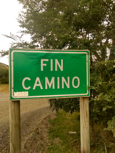
Besides the no trespassing sign, I saw that two trails started, so we decided to return and ask for further information. All trail apps had not trails to the waterfalls, dont know why as they look impressive from the...
Read more