Verde Hot Springs things to do, attractions, restaurants, events info and trip planning
Basic Info
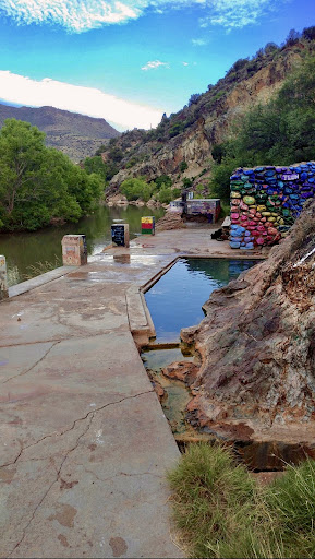
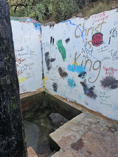
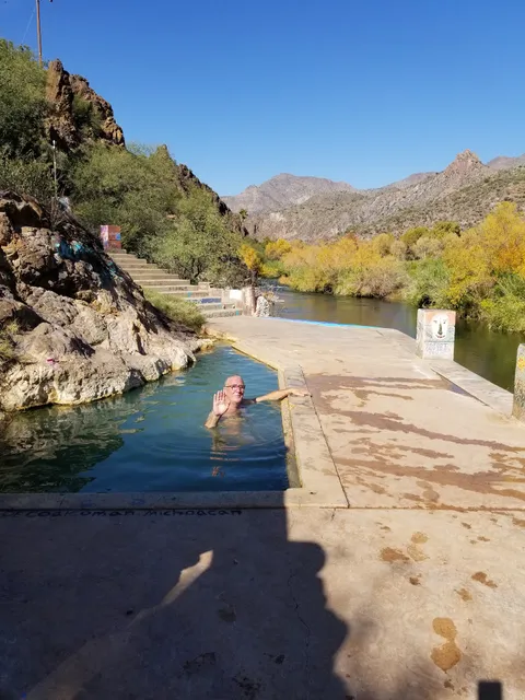
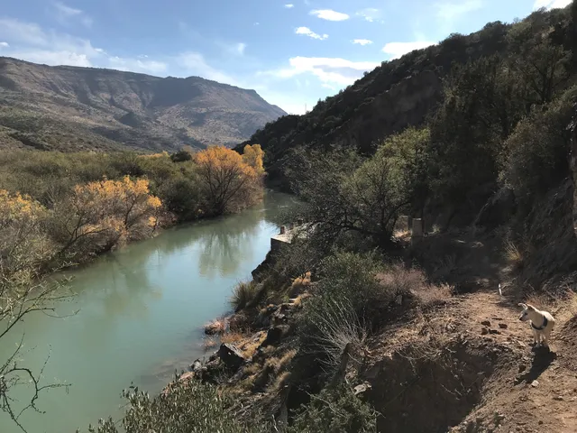
Verde Hot Springs
8375 AZ-179, Camp Verde, AZ 86322
4.5(84)
Open until 12:00 AM
Save
spot
spot
Ratings & Description
Info
Outdoor
Relaxation
Scenic
Off the beaten path
attractions: , restaurants: , local businesses: Verde Hot Springs
Phone
(928) 203-2900
Website
findhotsprings.com
Open hoursSee all hours
ThuOpen 24 hoursOpen
Plan your stay

Pet-friendly Hotels in Four Corners States
Find a cozy hotel nearby and make it a full experience.

Affordable Hotels in Four Corners States
Find a cozy hotel nearby and make it a full experience.

The Coolest Hotels You Haven't Heard Of (Yet)
Find a cozy hotel nearby and make it a full experience.

Trending Stays Worth the Hype in Four Corners States
Find a cozy hotel nearby and make it a full experience.
Reviews
Live events
General Admission to Verde Valley Archaeology Center
Thu, Feb 26 • 9:00 AM
460 Finnie Flat Road, Camp Verde, 86322
View details

2026 Tree Tapping Ceremony
Sat, Feb 28 • 12:00 PM
Wagner's Sugar Camp, 3067 S Wagner Dr, Camp Verde, AZ 86322-6518, United States
View details
Nearby local services of Verde Hot Springs
Verde Hot Springs
Verde Hot Springs
4.0
(36)
Click for details