Mount Lafayette things to do, attractions, restaurants, events info and trip planning
Basic Info
Mount Lafayette
Franconia, NH 03251, United States
4.9(184)
Save
spot
spot
Ratings & Description
Info
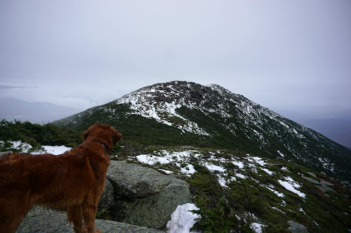
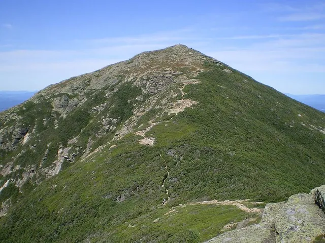
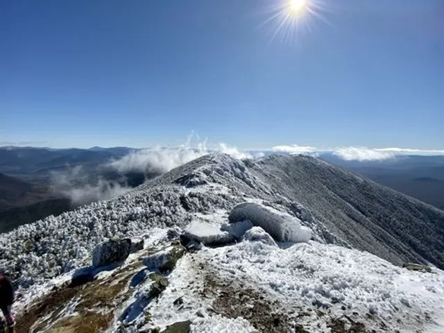
Mount Lafayette is a 5,249-foot mountain at the northern end of the Franconia Range in the White Mountains of New Hampshire, United States. It lies in the town of Franconia in Grafton County, and appears on the New England Fifty Finest list of the most topographically prominent peaks in New England.
Outdoor
Adventure
Scenic
Off the beaten path
attractions: , restaurants: , local businesses: Franconia Range
Plan your stay

Pet-friendly Hotels in Franconia
Find a cozy hotel nearby and make it a full experience.

Affordable Hotels in Franconia
Find a cozy hotel nearby and make it a full experience.

The Coolest Hotels You Haven't Heard Of (Yet)
Find a cozy hotel nearby and make it a full experience.

Trending Stays Worth the Hype in Franconia
Find a cozy hotel nearby and make it a full experience.
Reviews
Live events

Backcountry Ski with RekLis
Sat, Feb 14 • 9:00 AM
2085 Main Street Bethlehem, NH 03574
View details

5th Annual Vintage Rally
Sat, Feb 14 • 10:00 AM
29 Winter Lane, Dalton, NH, United States
View details

Coors Light Aprés Ski Party wth Live Music by DJ Brett
Sat, Feb 14 • 3:30 PM
1 Ski Area Rd, Waterville Valley, NH, United States, New Hampshire 03215
View details
Nearby local services of Mount Lafayette
Franconia Range
Franconia Range
4.9
(27)
Click for details