Windy Hill Summit things to do, attractions, restaurants, events info and trip planning
Basic Info
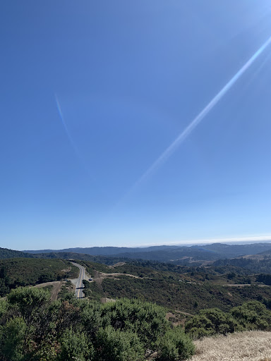
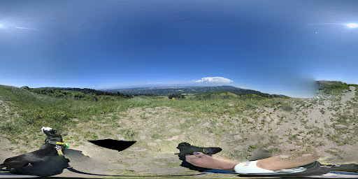
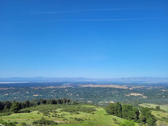
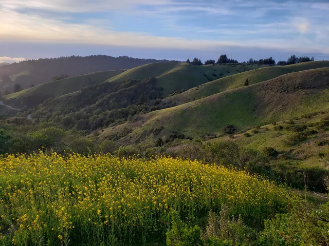
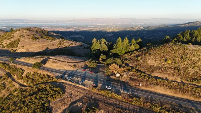
Windy Hill Summit
Windy Hill Summit Trail, Portola Valley, CA 94028
4.9(88)
Closed
Save
spot
spot
Ratings & Description
Info
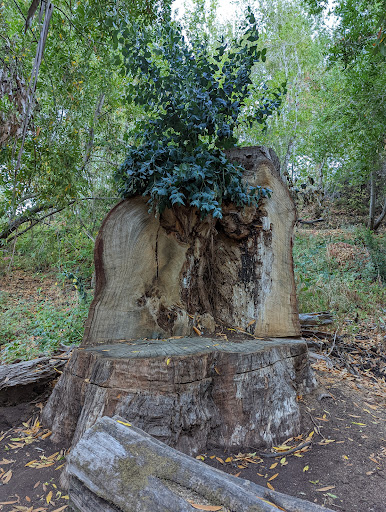
Outdoor
Adventure
Scenic
Pet friendly
Off the beaten path
attractions: Anniversary Trail Picnic Tables, Anniversary Trail, restaurants: , local businesses:
Phone
(650) 691-1200
Website
openspace.org
Open hoursSee all hours
Mon7 AM - 7 PMClosed
Plan your stay

Pet-friendly Hotels in Portola Valley
Find a cozy hotel nearby and make it a full experience.

Affordable Hotels in Portola Valley
Find a cozy hotel nearby and make it a full experience.

The Coolest Hotels You Haven't Heard Of (Yet)
Find a cozy hotel nearby and make it a full experience.

Trending Stays Worth the Hype in Portola Valley
Find a cozy hotel nearby and make it a full experience.
Reviews
Live events

Everything but the Plants Fair
Mon, Jan 26 • 11:00 AM
2490 Charleston Road Mountain View, CA 94043
View details

Swearing-in Ceremony of Neysa Fligor as Santa Clara County Assessor
Mon, Jan 26 • 6:00 PM
97 Hillview Avenue Los Altos, CA 94022
View details

From the Innovators Workbench featuring Joëlle Barral, PhD
Mon, Jan 26 • 6:00 PM
291 Campus Drive Berg Hall Auditorium Stanford, CA 94305
View details
Nearby attractions of Windy Hill Summit
Anniversary Trail Picnic Tables
Anniversary Trail
Anniversary Trail Picnic Tables
4.7
(26)
Open 24 hours
Click for details
Anniversary Trail
4.5
(8)
Open until 12:00 AM
Click for details