Mt Mansfield things to do, attractions, restaurants, events info and trip planning
Basic Info
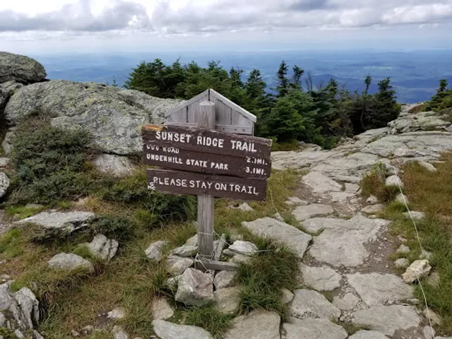
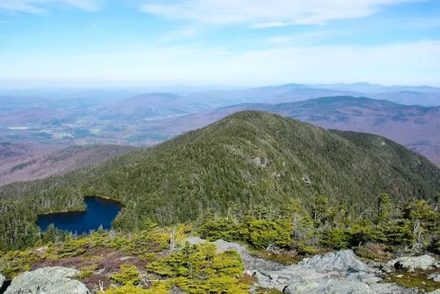
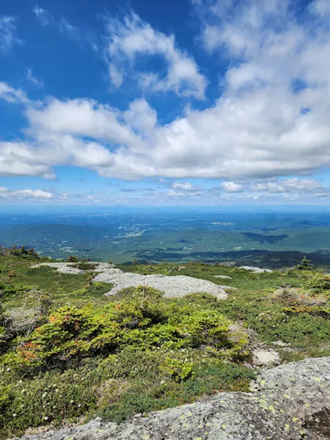
Mt Mansfield
Underhill, VT 05489
4.8(120)
Save
spot
spot
Ratings & Description
Info
Outdoor
Adventure
Scenic
Pet friendly
attractions: , restaurants: Cliff House Restaurant, local businesses: Mount Mansfield, Mount Mansfield
Plan your stay

Pet-friendly Hotels in Underhill
Find a cozy hotel nearby and make it a full experience.

Affordable Hotels in Underhill
Find a cozy hotel nearby and make it a full experience.

The Coolest Hotels You Haven't Heard Of (Yet)
Find a cozy hotel nearby and make it a full experience.

Trending Stays Worth the Hype in Underhill
Find a cozy hotel nearby and make it a full experience.
Reviews
Live events

Custom Perfume Making with Bloom Lab at Gardeners Supply Williston, VT
Fri, Feb 13 • 5:00 PM
Gardener's Supply - Williston, 472 Marshall Avenue,Williston, Vermont, United States
View details

D. Davis & Django Soulo
Fri, Feb 13 • 6:00 PM
123 Mountain Road, Grant's, Stowe, VT, United States, Vermont 05672
View details

Juice Live at Après Only
Fri, Feb 13 • 7:00 PM
433 Mountain Road Stowe, VT 05672
View details
Nearby restaurants of Mt Mansfield
Cliff House Restaurant
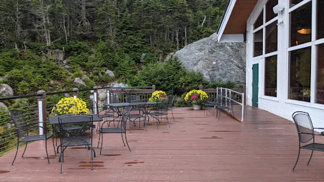
Cliff House Restaurant
4.2
(295)
$$
Closed
Click for details
Nearby local services of Mt Mansfield
Mount Mansfield
Mount Mansfield
Mount Mansfield
4.8
(91)
Click for details
Mount Mansfield
4.7
(87)
Click for details