Mt San Antonio things to do, attractions, restaurants, events info and trip planning
Basic Info
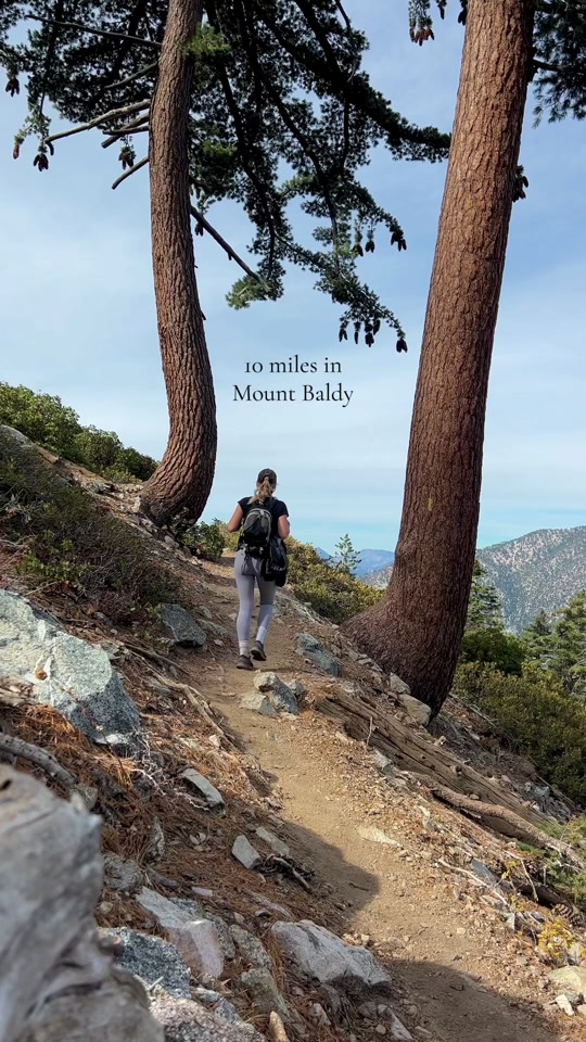
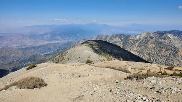
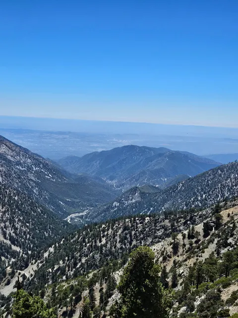
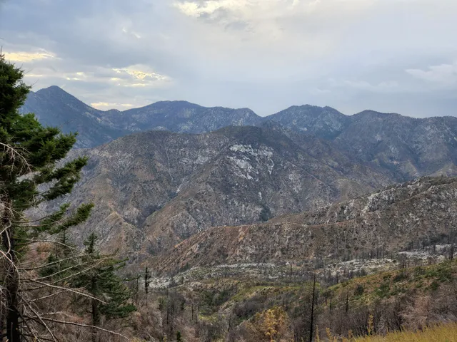
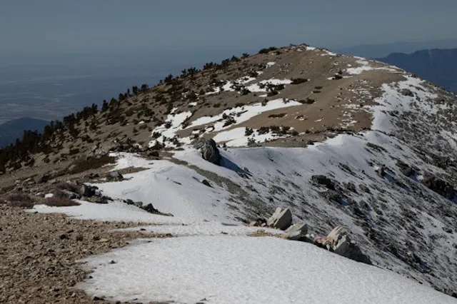
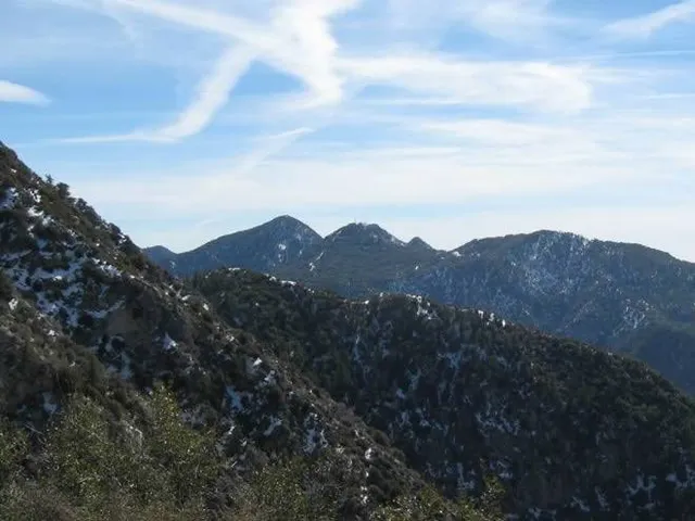
Mt San Antonio
California 91759, United States
4.7(233)
Save
spot
spot
Ratings & Description
Info
Outdoor
Adventure
Scenic
Family friendly
Pet friendly
attractions: Mount Baldy Summit, San Gabriel Mountains National Monument, restaurants: , local businesses: Mount San Antonio, Mount San Antonio, San Gabriel Mountains, San Gabriel Peak
Plan your stay

Pet-friendly Hotels in Wrightwood
Find a cozy hotel nearby and make it a full experience.

Affordable Hotels in Wrightwood
Find a cozy hotel nearby and make it a full experience.

The Coolest Hotels You Haven't Heard Of (Yet)
Find a cozy hotel nearby and make it a full experience.

Trending Stays Worth the Hype in Wrightwood
Find a cozy hotel nearby and make it a full experience.
Reviews
Live events

Self-Care City Scavenger Hunt: Based on Hot Habits Series - Glendora Area
Thu, Feb 26 • 1:00 PM
255 South Glendora Avenue Glendora, CA 91740
View details

CARNAVAL X INVASION NIGHTCLUB SPECIAL EVENT TURNT LIKE 2016
Thu, Feb 26 • 9:30 PM
342 South Thomas Street Pomona, CA 91766
View details

Padua Hills Spring Wedding Show
Sun, Mar 1 • 11:00 AM
4467 Padua Avenue Claremont, CA 91711
View details
Nearby attractions of Mt San Antonio
Mount Baldy Summit
San Gabriel Mountains National Monument
Mount Baldy Summit
5.0
(3)
Open until 12:00 AM
Click for details
San Gabriel Mountains National Monument
4.7
(13)
Open until 12:00 AM
Click for details
Nearby local services of Mt San Antonio
Mount San Antonio
Mount San Antonio
San Gabriel Mountains
San Gabriel Peak

Mount San Antonio
4.7
(193)
Click for details
Mount San Antonio
4.9
(62)
Click for details

San Gabriel Mountains
4.8
(63)
Click for details
San Gabriel Peak
4.5
(25)
Click for details