Gibberagong walking track things to do, attractions, restaurants, events info and trip planning
Basic Info
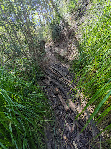
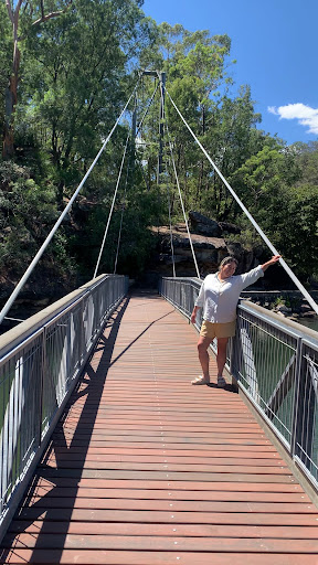
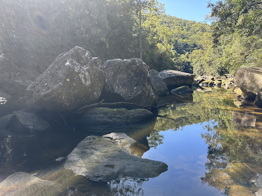
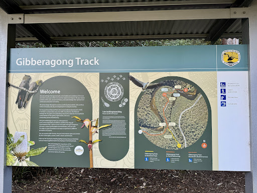
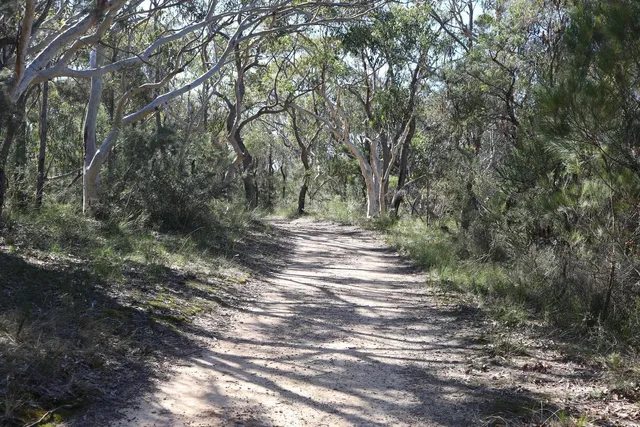
Gibberagong walking track
Gibberagong Track, North Turramurra NSW 2074, Australia
4.7(15)
Closed

tickets
Save
spot
spot
Ratings & Description
Info
Outdoor
Adventure
Scenic
Pet friendly
Off the beaten path
attractions: Mangrove Boardwalk, Bobbin Head Picnic Ground, Bobbin Head, Kalkari Discovery Centre, restaurants: Bobbin Inn Cafe, Waterside Bistro - waterfront cafe, local businesses:
Phone
+61 2 9472 8949
Website
nationalparks.nsw.gov.au
Open hoursSee all hours
Tue6 AM - 8 PMClosed
Plan your stay

Pet-friendly Hotels in Sydney
Find a cozy hotel nearby and make it a full experience.

Affordable Hotels in Sydney
Find a cozy hotel nearby and make it a full experience.

The Coolest Hotels You Haven't Heard Of (Yet)
Find a cozy hotel nearby and make it a full experience.

Trending Stays Worth the Hype in Sydney
Find a cozy hotel nearby and make it a full experience.
Reviews
Live events
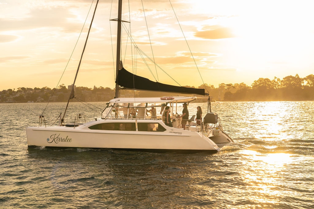
Sunset & Sparkle Sydney Harbour Cruise
Wed, Feb 25 • 7:00 PM
Sydney, New South Wales, 2000, Australia
View details
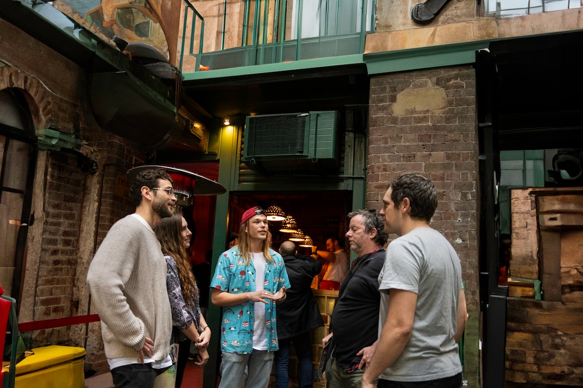
Sydney by Night - Secret Bars & Stories
Thu, Feb 26 • 6:30 PM
Darlinghurst, New South Wales, 2010, Australia
View details

Balloon Story - Sydney
Tue, Feb 24 • 9:00 AM
Olympic Boulevard, Sydney Olympic Park, 2127
View details
Nearby attractions of Gibberagong walking track
Mangrove Boardwalk
Bobbin Head Picnic Ground
Bobbin Head
Kalkari Discovery Centre

Mangrove Boardwalk
4.6
(125)
Closed
Click for details

Bobbin Head Picnic Ground
4.7
(321)
Closed
Click for details

Bobbin Head
4.6
(794)
Closed
Click for details
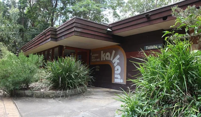
Kalkari Discovery Centre
4.7
(42)
Closed
Click for details
Nearby restaurants of Gibberagong walking track
Bobbin Inn Cafe
Waterside Bistro - waterfront cafe
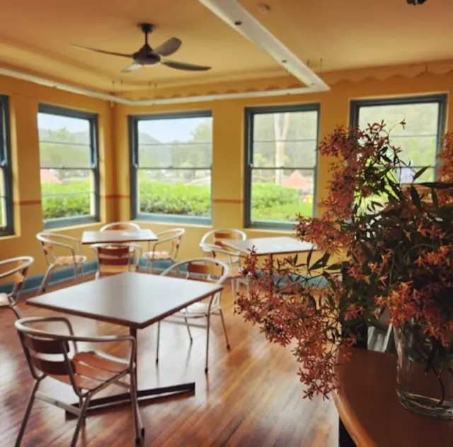
Bobbin Inn Cafe
4.0
(172)
$
Open until 12:00 AM
Click for details
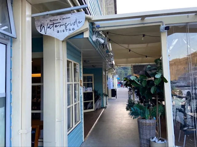
Waterside Bistro - waterfront cafe
4.2
(198)
$
Closed
Click for details