Prairie Mountain Trailhead things to do, attractions, restaurants, events info and trip planning
Basic Info
Prairie Mountain Trailhead
AB-66, Bragg Creek, AB T3Z 3R3, Canada
4.8(225)
Open until 12:00 AM
Save
spot
spot
Ratings & Description
Info
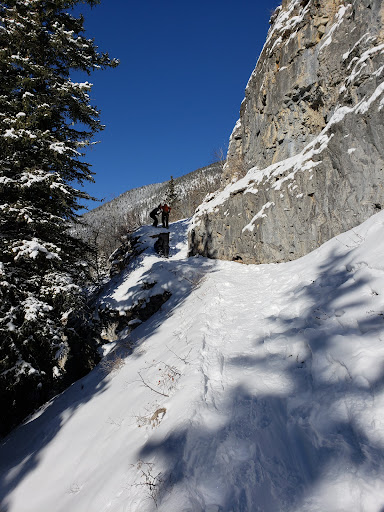
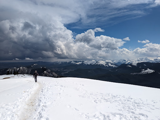
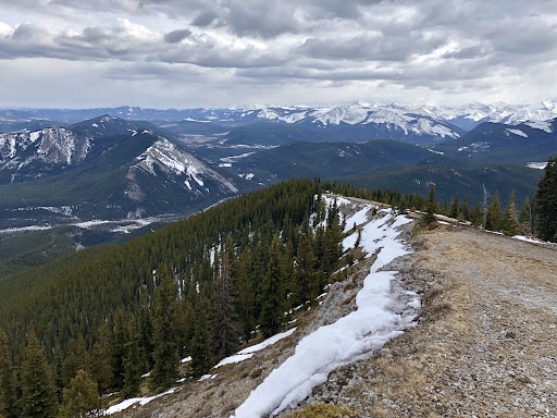
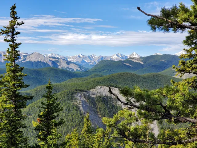
Outdoor
Adventure
Scenic
Pet friendly
Off the beaten path
attractions: Elbow Falls, Kananaskis winter gates, restaurants: , local businesses:
Open hoursSee all hours
FriOpen 24 hoursOpen
Plan your stay

Pet-friendly Hotels in Alberta
Find a cozy hotel nearby and make it a full experience.

Affordable Hotels in Alberta
Find a cozy hotel nearby and make it a full experience.

The Coolest Hotels You Haven't Heard Of (Yet)
Find a cozy hotel nearby and make it a full experience.

Trending Stays Worth the Hype in Alberta
Find a cozy hotel nearby and make it a full experience.
Reviews
Live events

Snowshoeing in Kananaskis
Fri, Feb 20 • 9:00 AM
1 Mount Sparrowhawk Crescent, Kananaskis, T0L 2H0
View details
Nearby attractions of Prairie Mountain Trailhead
Elbow Falls
Kananaskis winter gates
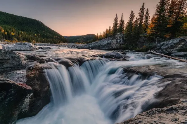
Elbow Falls
4.7
(1.6K)
Closed
Click for details

Kananaskis winter gates
4.3
(8)
Open until 12:00 AM
Click for details