Stawamus Chief Trail things to do, attractions, restaurants, events info and trip planning
Basic Info
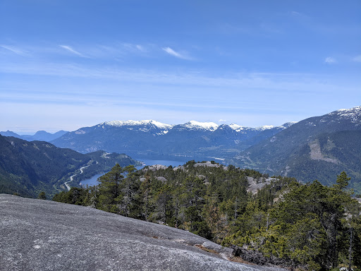
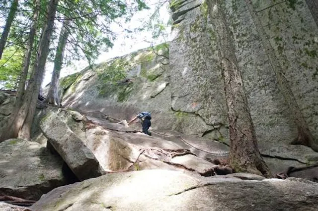
Stawamus Chief Trail
Garibaldi Highlands, BC V8B 0R2, Canada
4.9(319)
Open until 11:00 PM
Save
spot
spot
Ratings & Description
Info
Outdoor
Adventure
Scenic
Pet friendly
attractions: Sea to summit trail, Shannon Falls Viewpoint, First Peak, Apron Trail, restaurants: Praguery Ice Cream Truck, local businesses: Mountain Skills Academy and Adventures - Summit Shelter, Shannon Falls
Website
exploresquamish.com
Open hoursSee all hours
Sat7:30 AM - 11 PMOpen
Plan your stay

Pet-friendly Hotels in Area D (Elaho/Garibaldi)
Find a cozy hotel nearby and make it a full experience.

Affordable Hotels in Area D (Elaho/Garibaldi)
Find a cozy hotel nearby and make it a full experience.

The Coolest Hotels You Haven't Heard Of (Yet)
Find a cozy hotel nearby and make it a full experience.

Trending Stays Worth the Hype in Area D (Elaho/Garibaldi)
Find a cozy hotel nearby and make it a full experience.
Reviews
Live events
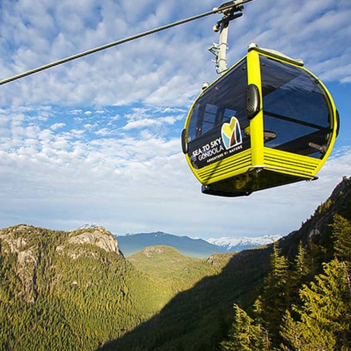
Sea to Sky Gondola: Roundtrip
Sat, Feb 7 • 12:00 AM
36800 British Columbia 99, Squamish, V8B 0B6
View details

Britannia Mine Museum
Sat, Feb 7 • 10:30 AM
150 Copper Drive, V8B 1J1
View details

Bluesberry Jam’s 30th Anniversary Celebration
Sat, Feb 7 • 7:00 PM
Half-Ave Squamish, BC V8B 0C3
View details
Nearby attractions of Stawamus Chief Trail
Sea to summit trail
Shannon Falls Viewpoint
First Peak
Apron Trail

Sea to summit trail
4.8
(49)
Open 24 hours
Click for details

Shannon Falls Viewpoint
4.7
(498)
Open until 10:00 PM
Click for details

First Peak
4.9
(267)
Open until 11:00 PM
Click for details

Apron Trail
4.9
(18)
Open 24 hours
Click for details
Nearby restaurants of Stawamus Chief Trail
Praguery Ice Cream Truck

Praguery Ice Cream Truck
4.7
(42)
Click for details
Nearby local services of Stawamus Chief Trail
Mountain Skills Academy and Adventures - Summit Shelter
Shannon Falls

Mountain Skills Academy and Adventures - Summit Shelter
5.0
(13)
Click for details

Shannon Falls
4.9
(113)
Click for details