Ancien Chemin des Muletiers - Caminu Anticu di i Mulatteri things to do, attractions, restaurants, events info and trip planning

Basic Info
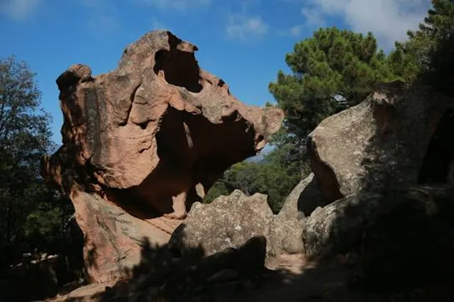
Ancien Chemin des Muletiers - Caminu Anticu di i Mulatteri
20115 Piana, France
4.8(202)
Open until 12:00 AM
Save
spot
spot
Ratings & Description
Info
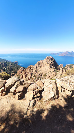
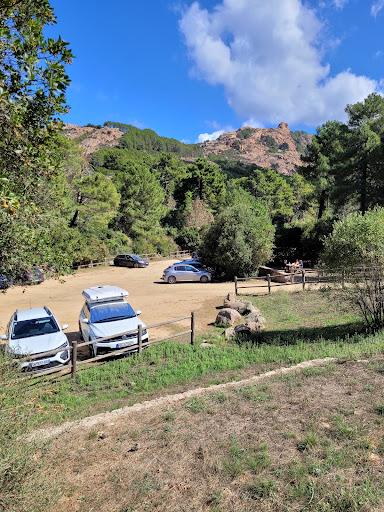
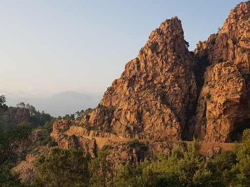
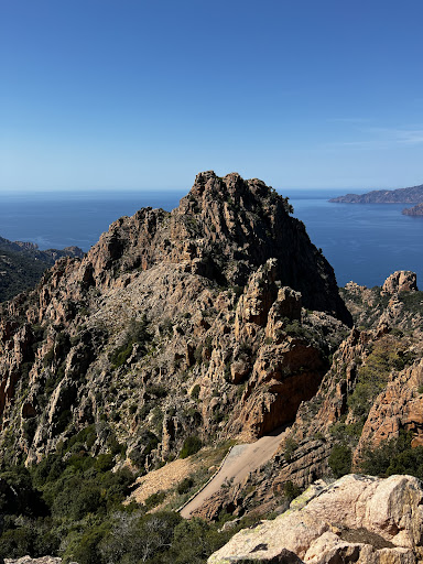
Outdoor
Adventure
Scenic
Off the beaten path
attractions: Calanques de Piana, Tête du Chien, CORSICA QUAD, restaurants: Les Roches Bleues, local businesses:
Open hoursSee all hours
TueOpen 24 hoursOpen
Plan your stay

Pet-friendly Hotels in Ajaccio
Find a cozy hotel nearby and make it a full experience.

Affordable Hotels in Ajaccio
Find a cozy hotel nearby and make it a full experience.

The Coolest Hotels You Haven't Heard Of (Yet)
Find a cozy hotel nearby and make it a full experience.

Trending Stays Worth the Hype in Ajaccio
Find a cozy hotel nearby and make it a full experience.
Reviews
Nearby attractions of Ancien Chemin des Muletiers - Caminu Anticu di i Mulatteri
Calanques de Piana
Tête du Chien
CORSICA QUAD

Calanques de Piana
4.9
(2.2K)
Open 24 hours
Click for details
Tête du Chien
4.7
(140)
Open 24 hours
Click for details

CORSICA QUAD
4.9
(126)
Open until 9:30 PM
Click for details
Nearby restaurants of Ancien Chemin des Muletiers - Caminu Anticu di i Mulatteri
Les Roches Bleues
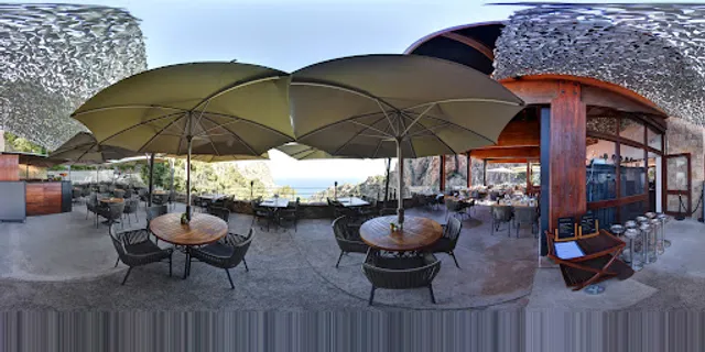
Les Roches Bleues
4.3
(951)
$$
Click for details