Sandafell Mountain things to do, attractions, restaurants, events info and trip planning
Basic Info
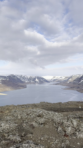
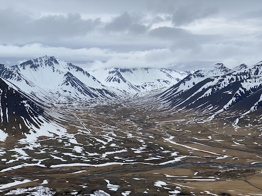
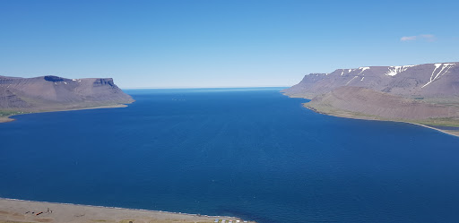
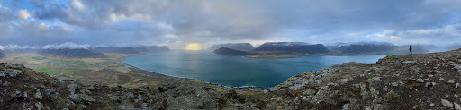
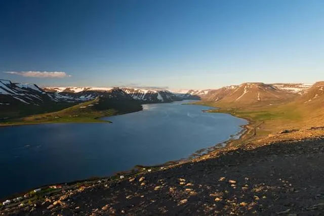
Sandafell Mountain
VFFV+2HW, 471 Þingeyri, Iceland
4.8(38)
Open until 12:00 AM
Save
spot
spot
Ratings & Description
Info
Outdoor
Adventure
Scenic
Off the beaten path
attractions: Simba Horses: riding tours in the Westfjords Alps, restaurants: Simbahöllin, local businesses:
Website
westfjords.is
Open hoursSee all hours
TueOpen 24 hoursOpen
Plan your stay

Pet-friendly Hotels in Westfjords
Find a cozy hotel nearby and make it a full experience.

Affordable Hotels in Westfjords
Find a cozy hotel nearby and make it a full experience.

The Coolest Hotels You Haven't Heard Of (Yet)
Find a cozy hotel nearby and make it a full experience.

Trending Stays Worth the Hype in Westfjords
Find a cozy hotel nearby and make it a full experience.
Reviews
Nearby attractions of Sandafell Mountain
Simba Horses: riding tours in the Westfjords Alps
Simba Horses: riding tours in the Westfjords Alps
4.9
(23)
Closed
Click for details
Nearby restaurants of Sandafell Mountain
Simbahöllin

Simbahöllin
4.7
(190)
Click for details