Khammam Fort things to do, attractions, restaurants, events info and trip planning
Basic Info
Khammam Fort
Fort Road, Khammam Fort, Nizampet, Khammam, Telangana 507001, India
4.2(1.7K)
Open until 12:00 AM
Save
spot
spot
Ratings & Description
Info
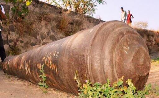
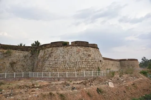
Khammam Fort is a fort in the city of Khammam, Telangana, India constructed by Lakshma Reddy, Ranga Reddy and Velama Reddy. It served as an impregnable citadel during various regimes of different dynasties, including the Musunuri Nayaks, Qutb Shahi’s and Asaf Jahis.
Cultural
Outdoor
Family friendly
attractions: , restaurants: Bhavani Mess, Kaveri Family Restaurant, Sitara family restaurant, Lassi Shop, local businesses:
Website
telanganatourism.gov.in
Open hoursSee all hours
Sun6 a.m. - 6 p.m.Open
Plan your stay

Pet-friendly Hotels in Telangana
Find a cozy hotel nearby and make it a full experience.

Affordable Hotels in Telangana
Find a cozy hotel nearby and make it a full experience.

The Coolest Hotels You Haven't Heard Of (Yet)
Find a cozy hotel nearby and make it a full experience.

Trending Stays Worth the Hype in Telangana
Find a cozy hotel nearby and make it a full experience.
Reviews
Nearby restaurants of Khammam Fort
Bhavani Mess
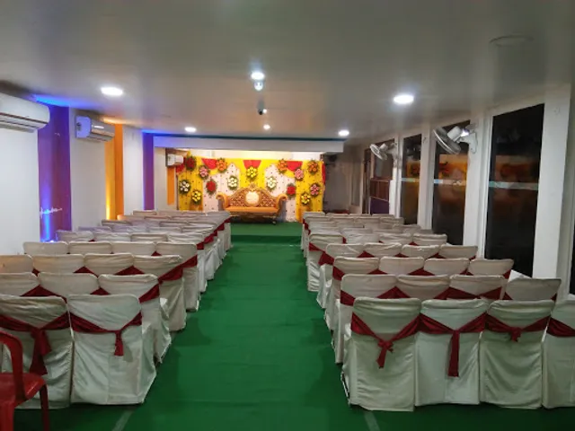
Kaveri Family Restaurant
Sitara family restaurant
Lassi Shop
Bhavani Mess
4.0
(1.1K)
Closed
Click for details
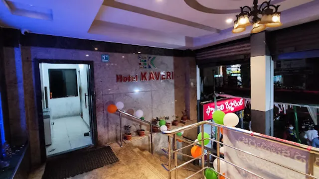
Kaveri Family Restaurant
3.8
(1.9K)
$$
Closed
Click for details
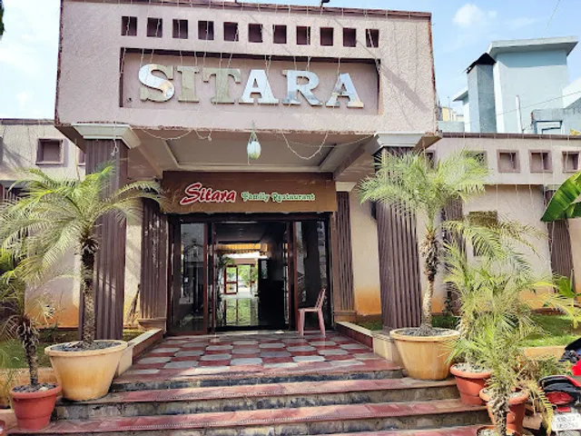
Sitara family restaurant
4.1
(909)
$$
Closed
Click for details

Lassi Shop
3.8
(228)
Closed
Click for details