Spiaggia La Marossa things to do, attractions, restaurants, events info and trip planning
ItalySpiaggia La Marossa
Basic Info
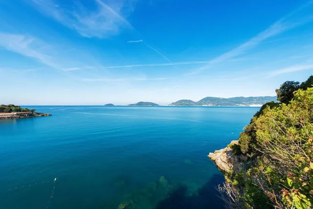
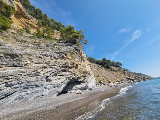
Spiaggia La Marossa
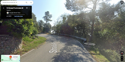
Via Levante, 19033 Vallecchia SP, Italy
4.4(76)
Open 24 hours
Save
spot
spot
Ratings & Description
Info
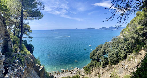
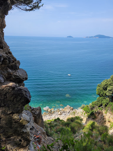
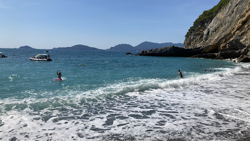
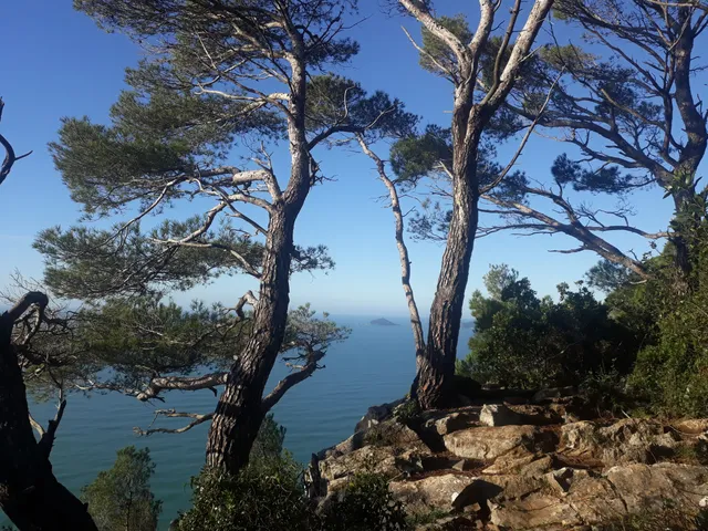
Outdoor
Relaxation
Scenic
Family friendly
Pet friendly
attractions: Spiaggia del Groppolo, Sentiero Cai 444, restaurants: Ristorante Locanda Pescarino, local businesses:
Plan your stay

Pet-friendly Hotels in Italy
Find a cozy hotel nearby and make it a full experience.

Affordable Hotels in Italy
Find a cozy hotel nearby and make it a full experience.

The Coolest Hotels You Haven't Heard Of (Yet)
Find a cozy hotel nearby and make it a full experience.

Trending Stays Worth the Hype in Italy
Find a cozy hotel nearby and make it a full experience.
Reviews
Live events
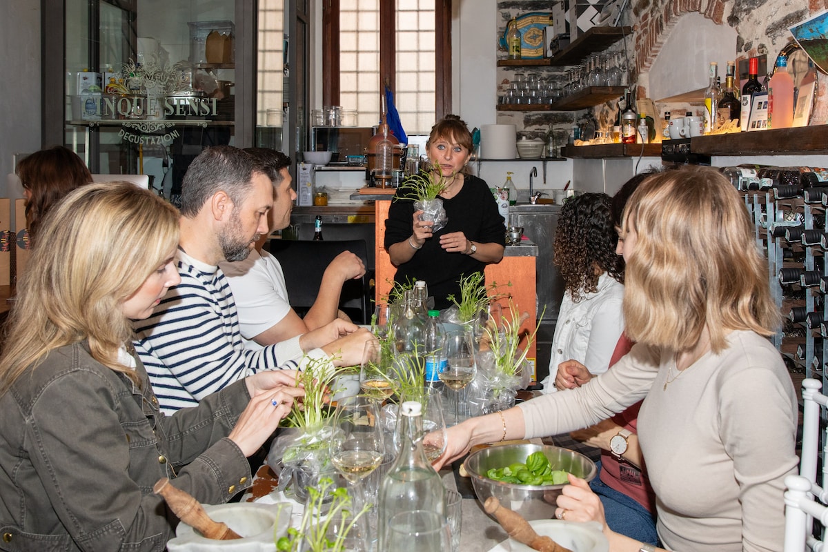
Create traditional pesto with a local sommelier
Sat, Feb 14 • 12:30 PM
19018, Vernazza, Liguria, Italy
View details
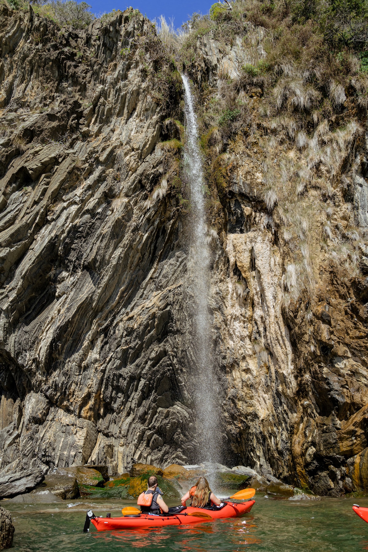
Paddle the Cinque Terre Secret Coast
Wed, Feb 11 • 9:00 AM
19016, Monterosso al Mare, Liguria, Italy
View details

Magical CinqueTerre in Rose with Jenny
Wed, Feb 11 • 10:30 AM
19017, Riomaggiore, Liguria, Italy
View details
Nearby attractions of Spiaggia La Marossa
Spiaggia del Groppolo
Sentiero Cai 444
Spiaggia del Groppolo
4.6
(97)
Open until 12:00 AM
Click for details
Sentiero Cai 444
4.3
(15)
Open until 12:00 AM
Click for details
Nearby restaurants of Spiaggia La Marossa
Ristorante Locanda Pescarino
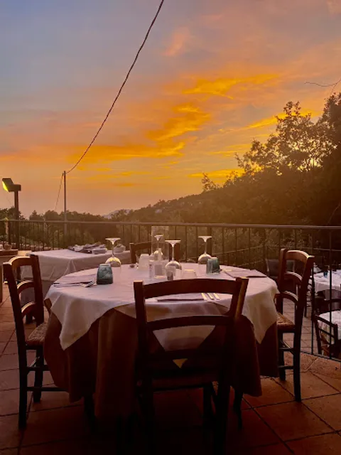
Ristorante Locanda Pescarino
4.6
(240)
Open until 12:00 AM
Click for details