Shah Alam Community Forest Trail head things to do, attractions, restaurants, events info and trip planning
Basic Info
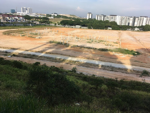
Shah Alam Community Forest Trail head
Setia Eco-park, 40170 Shah Alam, Selangor, Malaysia
4.4(663)
Open until 12:00 AM
Save
spot
spot
Ratings & Description
Info
Shah Alam Community Forest is a 430 acres of recreational site in Section U10, Shah Alam in Selangor, Malaysia.
Outdoor
Adventure
Scenic
Off the beaten path
attractions: Setia Alam Community Trail Lake, restaurants: Nasi Kukus Boss @Setia Alam, CXBS Coffee & Matcha, Secret Recipe Restaurant Setia Utama | Restoran Secret Recipe, Grill Tonight (Setia Alam), Restoran Salero Negori Asli, local businesses: Taste of Lahore
Phone
+60 11-3388 6483
Open hoursSee all hours
SunOpen 24 hoursOpen
Plan your stay

Pet-friendly Hotels in Shah Alam
Find a cozy hotel nearby and make it a full experience.

Affordable Hotels in Shah Alam
Find a cozy hotel nearby and make it a full experience.

The Coolest Hotels You Haven't Heard Of (Yet)
Find a cozy hotel nearby and make it a full experience.

Trending Stays Worth the Hype in Shah Alam
Find a cozy hotel nearby and make it a full experience.
Reviews
Live events
Authentic Malaysian Street Food Tour Kampung Baru
Mon, Feb 23 • 6:00 PM
50300, Kuala Lumpur, Federal Territory of Kuala Lumpur, Malaysia
View details
Explore 7 Wonders Of Kuala Lumpur With A Local
Mon, Feb 23 • 9:30 AM
50450, Kuala Lumpur, Federal Territory of Kuala Lumpur, Malaysia
View details

Hidden Bar Hopping With A Local
Wed, Feb 25 • 8:00 PM
50000, Kuala Lumpur, Federal Territory of Kuala Lumpur, Malaysia
View details
Nearby attractions of Shah Alam Community Forest Trail head
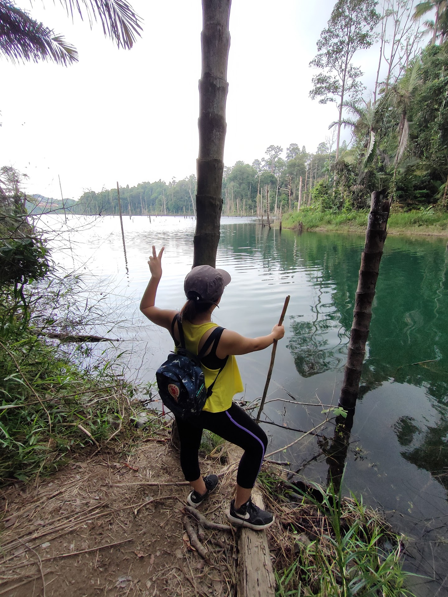
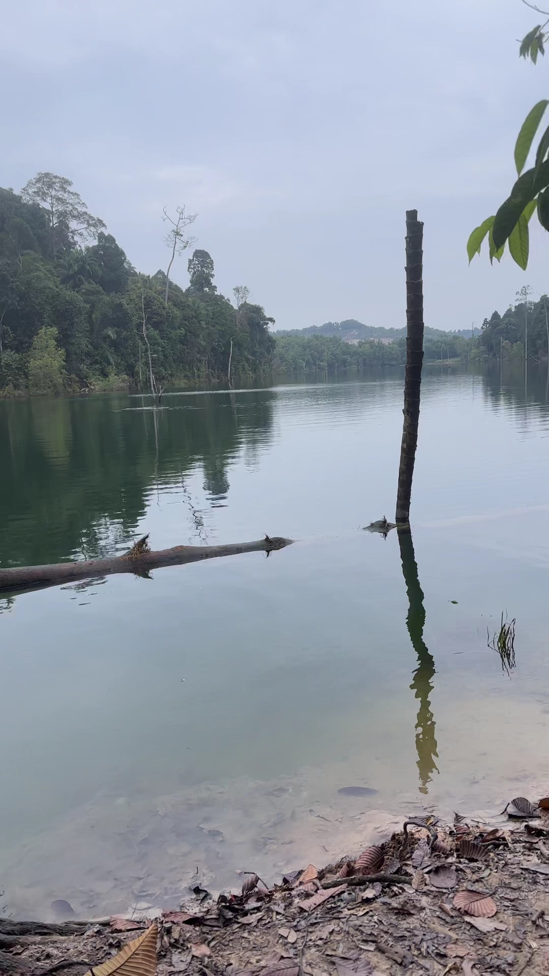
Setia Alam Community Trail Lake
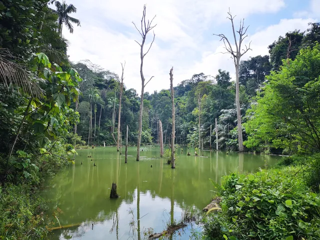
Setia Alam Community Trail Lake
4.8
(13)
Open 24 hours
Click for details
Nearby restaurants of Shah Alam Community Forest Trail head
Nasi Kukus Boss @Setia Alam
CXBS Coffee & Matcha
Secret Recipe Restaurant Setia Utama | Restoran Secret Recipe
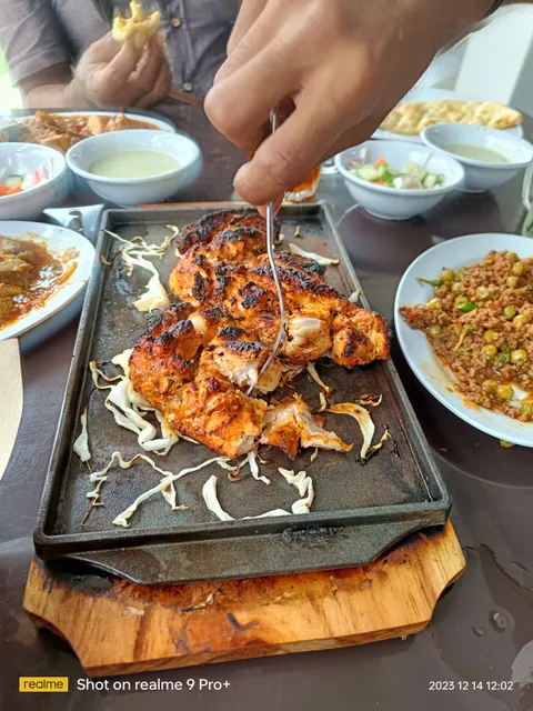
Grill Tonight (Setia Alam)
Restoran Salero Negori Asli
Nasi Kukus Boss @Setia Alam
4.4
(1.3K)
Open until 11:30 PM
Click for details

CXBS Coffee & Matcha
4.6
(39)
Open until 12:00 AM
Click for details
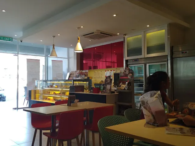
Secret Recipe Restaurant Setia Utama | Restoran Secret Recipe
4.0
(175)
Closed
Click for details
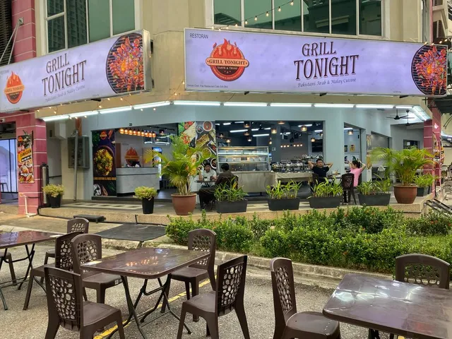
Grill Tonight (Setia Alam)
4.3
(18)
Open until 11:00 PM
Click for details
Nearby local services of Shah Alam Community Forest Trail head
Taste of Lahore
Taste of Lahore
4.8
(50)
Click for details