Cañón rio Bailón things to do, attractions, restaurants, events info and trip planning
Basic Info
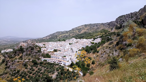
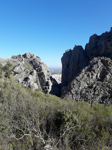
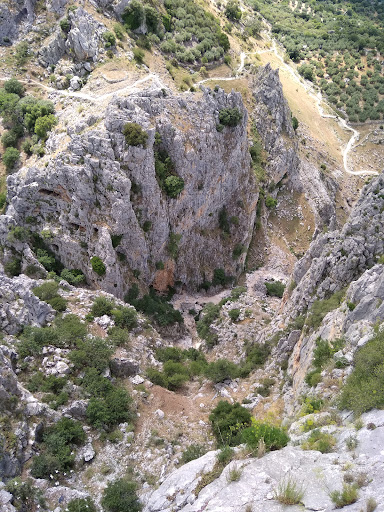
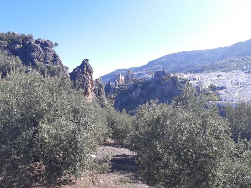
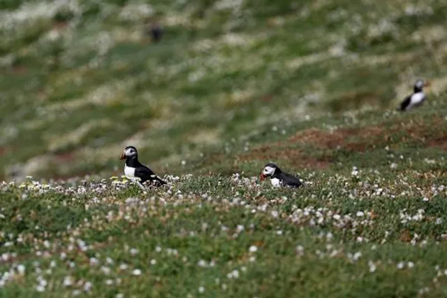
Cañón rio Bailón
CV-247, 4, 14870 Zuheros, Córdoba, Spain
4.7(103)
Open until 12:00 AM
Save
spot
spot
Ratings & Description
Info
Outdoor
Adventure
Scenic
Off the beaten path
attractions: Castle Zuheros, Iberfauna, Museo Arqueológico Municipal de Zuheros, Museo de Costumbres y Artes Populares Juan Fernández Cruz, periurbano de Zuheros Park, Cueva de los Murciélagos, Ecomuseo de la Cueva de los Murciélagos, restaurants: Asador Restaurante Los Palancos, local businesses: Puente colgante de Zuheros
Phone
+34 636 30 79 00
Website
juntadeandalucia.es
Open hoursSee all hours
TueOpen 24 hoursOpen
Plan your stay

Pet-friendly Hotels in Zuheros
Find a cozy hotel nearby and make it a full experience.

Affordable Hotels in Zuheros
Find a cozy hotel nearby and make it a full experience.

The Coolest Hotels You Haven't Heard Of (Yet)
Find a cozy hotel nearby and make it a full experience.

Trending Stays Worth the Hype in Zuheros
Find a cozy hotel nearby and make it a full experience.
Reviews
Nearby attractions of Cañón rio Bailón
Castle Zuheros
Iberfauna
Museo Arqueológico Municipal de Zuheros
Museo de Costumbres y Artes Populares Juan Fernández Cruz
periurbano de Zuheros Park
Cueva de los Murciélagos
Ecomuseo de la Cueva de los Murciélagos
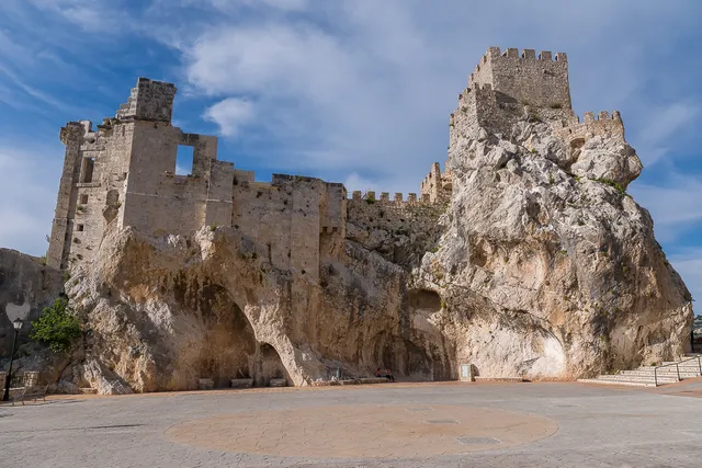
Castle Zuheros
4.6
(818)
Open until 12:00 AM
Click for details
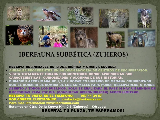
Iberfauna
4.9
(213)
Open 24 hours
Click for details
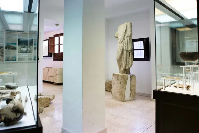
Museo Arqueológico Municipal de Zuheros
4.0
(30)
Open until 12:00 AM
Click for details
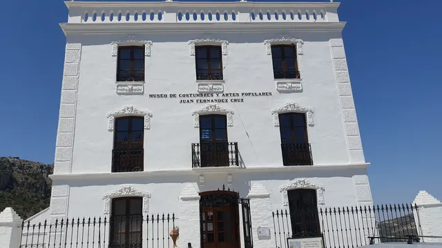
Museo de Costumbres y Artes Populares Juan Fernández Cruz
4.7
(156)
Open until 12:00 AM
Click for details
Nearby restaurants of Cañón rio Bailón
Asador Restaurante Los Palancos
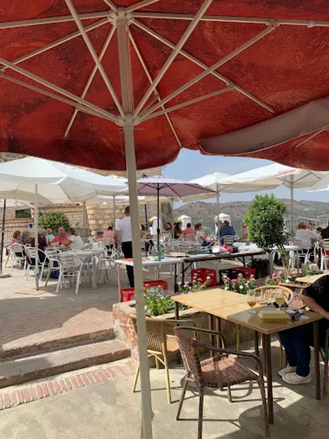
Asador Restaurante Los Palancos
4.2
(457)
Open until 12:00 AM
Click for details
Nearby local services of Cañón rio Bailón
Puente colgante de Zuheros
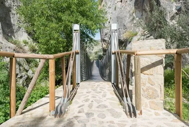
Puente colgante de Zuheros
4.8
(25)
Click for details