Shakadang Trail things to do, attractions, restaurants, events info and trip planning

Basic Info
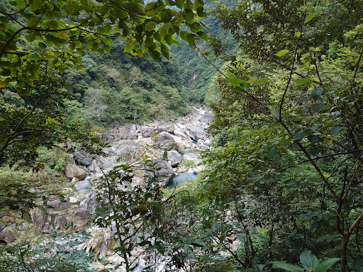
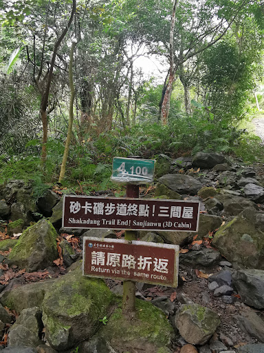
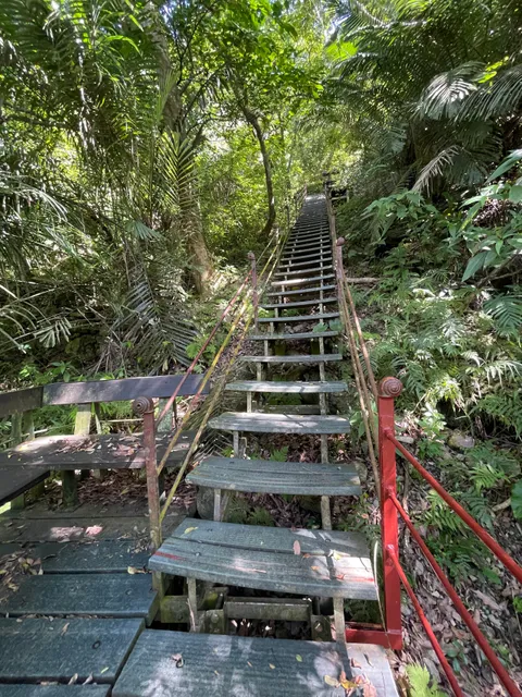
Shakadang Trail
972, Taiwan, Hualien County, Xiulin Township
4.6(3K)
Open 24 hours
Save
spot
spot
Ratings & Description
Info
Shakadang Trail or Mysterious Valley Trail is a trail in Taroko National Park, Xiulin Township, Hualien County, Taiwan.
Outdoor
Adventure
Scenic
Family friendly
Pet friendly
attractions: Xiaozhuilu Trail, Changuang Temple, Taroko Terrace Trail, Dekalun Trail, restaurants: , local businesses:
Phone
+886 3 862 1100#321
Website
taroko.gov.tw
Plan your stay

Pet-friendly Hotels in Xiulin
Find a cozy hotel nearby and make it a full experience.

Affordable Hotels in Xiulin
Find a cozy hotel nearby and make it a full experience.

The Coolest Hotels You Haven't Heard Of (Yet)
Find a cozy hotel nearby and make it a full experience.

Trending Stays Worth the Hype in Xiulin
Find a cozy hotel nearby and make it a full experience.
Reviews
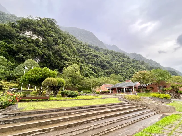
Nearby attractions of Shakadang Trail
Xiaozhuilu Trail
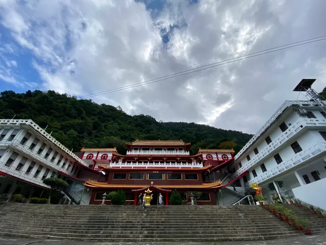
Changuang Temple
Taroko Terrace Trail
Dekalun Trail

Xiaozhuilu Trail
4.3
(875)
Open 24 hours
Click for details
Changuang Temple
4.4
(217)
Open 24 hours
Click for details
Taroko Terrace Trail
4.6
(186)
Open until 12:00 AM
Click for details
Dekalun Trail
4.4
(124)
Open until 12:00 AM
Click for details