City of Rocks National Reserve Visitor Center things to do, attractions, restaurants, events info and trip planning
Basic Info
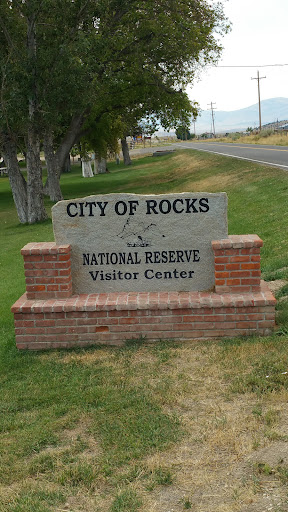
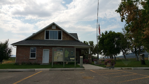
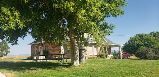
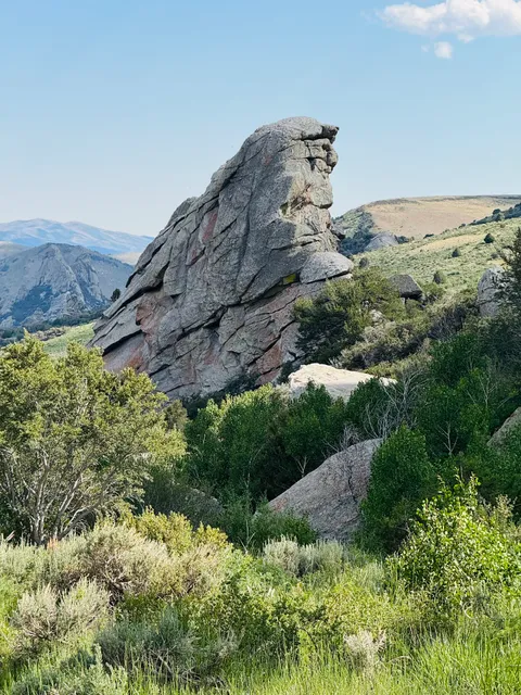
City of Rocks National Reserve Visitor Center
3035 S Elba Almo Rd, Almo, ID 83312
4.7(206)
Closed
Save
spot
spot
Ratings & Description
Info
attractions: , restaurants: Almo Outpost Steakhouse, local businesses:
Phone
(208) 824-5901
Website
nps.gov
Open hoursSee all hours
Mon8 AM - 4:30 PMClosed
Plan your stay

Pet-friendly Hotels in Burley
Find a cozy hotel nearby and make it a full experience.

Affordable Hotels in Burley
Find a cozy hotel nearby and make it a full experience.

The Coolest Hotels You Haven't Heard Of (Yet)
Find a cozy hotel nearby and make it a full experience.

Trending Stays Worth the Hype in Burley
Find a cozy hotel nearby and make it a full experience.
Reviews
Nearby restaurants of City of Rocks National Reserve Visitor Center
Almo Outpost Steakhouse
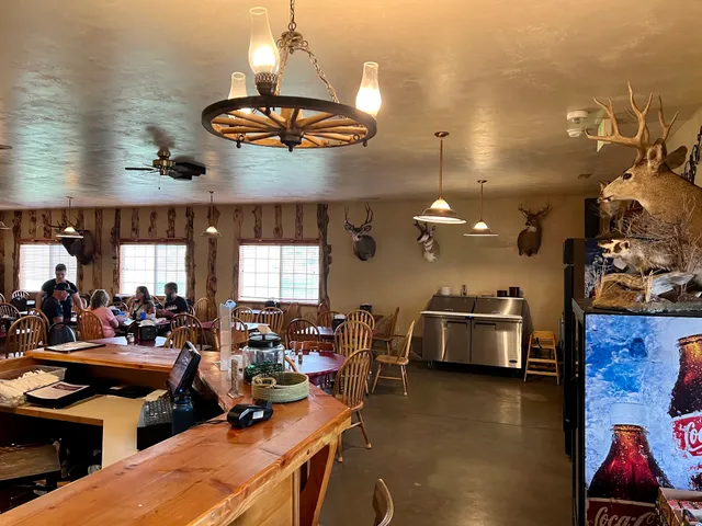
Almo Outpost Steakhouse
4.2
(66)
$$
Click for details