Mt. Pisgah Trailhead things to do, attractions, restaurants, events info and trip planning

Basic Info
Mt. Pisgah Trailhead
8682 38-7258 #000, Canton, NC 28716
4.8(168)
Open 24 hours
Save
spot
spot
Ratings & Description
Info
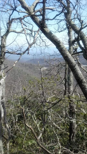
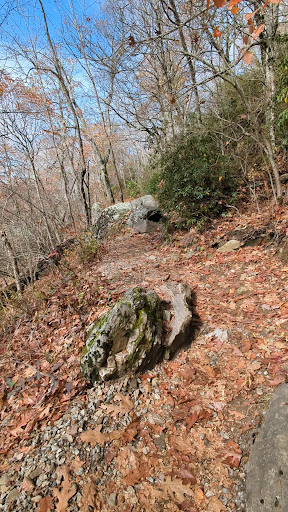
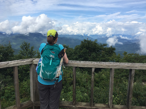
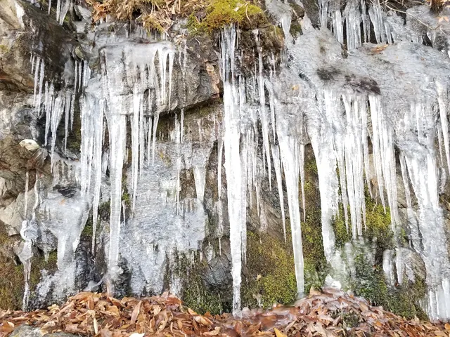
Outdoor
Adventure
Scenic
Pet friendly
Off the beaten path
attractions: Buck Spring Tunnel, Buck Spring Lodge, Mount Pisgah, restaurants: , local businesses: Mount Pisgah Overlook, Buck Spring Gap
Website
npplan.com
Plan your stay

Pet-friendly Hotels in Canton
Find a cozy hotel nearby and make it a full experience.

Affordable Hotels in Canton
Find a cozy hotel nearby and make it a full experience.

The Coolest Hotels You Haven't Heard Of (Yet)
Find a cozy hotel nearby and make it a full experience.

Trending Stays Worth the Hype in Canton
Find a cozy hotel nearby and make it a full experience.
Reviews
Live events

Asheville Murder Mystery: Solve the case!
Sun, Mar 1 • 12:00 AM
121 US-74 ALT, Asheville, NC 28801, USA, 28801
View details

Historic Music Scene Walking Tour in Asheville
Mon, Feb 23 • 11:00 AM
87 Haywood Street, Asheville, 28801
View details

Downtown Asheville Guided Brewery Walking Tour
Sun, Feb 22 • 2:00 PM
197 Hilliard Avenue, Asheville, 28801
View details
Nearby attractions of Mt. Pisgah Trailhead
Buck Spring Tunnel
Buck Spring Lodge
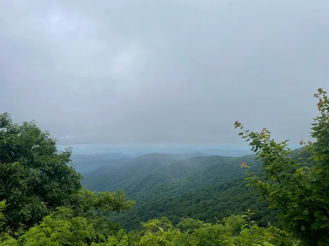
Mount Pisgah
Buck Spring Tunnel
5.0
(1)
Open 24 hours
Click for details
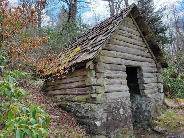
Buck Spring Lodge
4.9
(50)
Open until 12:00 AM
Click for details

Mount Pisgah
4.9
(16)
Closed
Click for details
Nearby local services of Mt. Pisgah Trailhead
Mount Pisgah Overlook
Buck Spring Gap
Mount Pisgah Overlook
4.9
(74)
Click for details
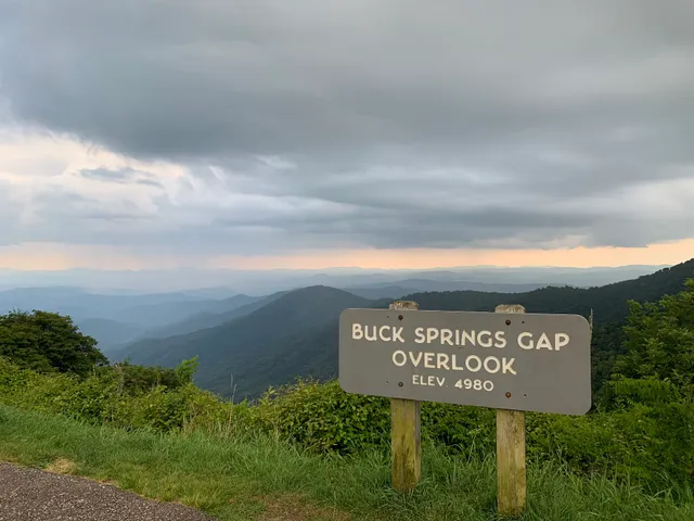
Buck Spring Gap
4.9
(22)
Click for details