Mount Timpanogos Trailhead things to do, attractions, restaurants, events info and trip planning
Basic Info
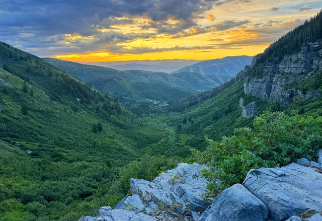
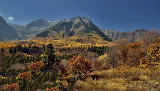
Mount Timpanogos Trailhead
Mount Timpanogos Trail (052), Provo, UT 84604
4.8(61)
Open 24 hours
Save
spot
spot
Ratings & Description
Info
attractions: Stewart Falls Trailhead, Aspen Grove Parking, Theater-in-the-Pines, Alpine Scenic Loop In American Fork Canyon, restaurants: , local businesses: BYU Aspen Grove Family Camp & Conference Center, Stewart Falls Trail
Plan your stay

Pet-friendly Hotels in Four Corners States
Find a cozy hotel nearby and make it a full experience.

Affordable Hotels in Four Corners States
Find a cozy hotel nearby and make it a full experience.

The Coolest Hotels You Haven't Heard Of (Yet)
Find a cozy hotel nearby and make it a full experience.

Trending Stays Worth the Hype in Four Corners States
Find a cozy hotel nearby and make it a full experience.
Reviews
Live events

Localscapes: Creating Your Ideal Utah Yard
Sat, Feb 28 • 9:00 AM
58 North State Street Media Auditorium Orem, UT 84057
View details

ACTV Studio IRL: Vuori Park City x Kendall Banks
Sat, Feb 28 • 7:00 AM
440 Main Street Park City, UT 84060
View details

Childrens Creative Dance Class
Sat, Feb 28 • 9:00 AM
64 S 100 E American Fork, UT 84003
View details
Nearby attractions of Mount Timpanogos Trailhead
Stewart Falls Trailhead
Aspen Grove Parking
Theater-in-the-Pines
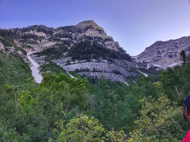
Alpine Scenic Loop In American Fork Canyon
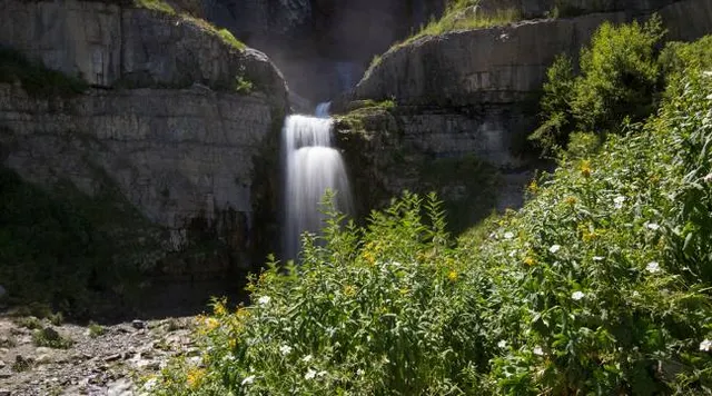
Stewart Falls Trailhead
4.8
(213)
Open until 12:00 AM
Click for details
Aspen Grove Parking
4.2
(9)
Open 24 hours
Click for details
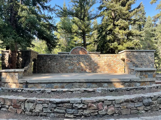
Theater-in-the-Pines
4.6
(7)
Open 24 hours
Click for details
Alpine Scenic Loop In American Fork Canyon
4.8
(133)
Open until 4:30 PM
Click for details
Nearby local services of Mount Timpanogos Trailhead
BYU Aspen Grove Family Camp & Conference Center
Stewart Falls Trail
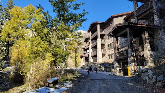
BYU Aspen Grove Family Camp & Conference Center
4.7
(224)
Click for details
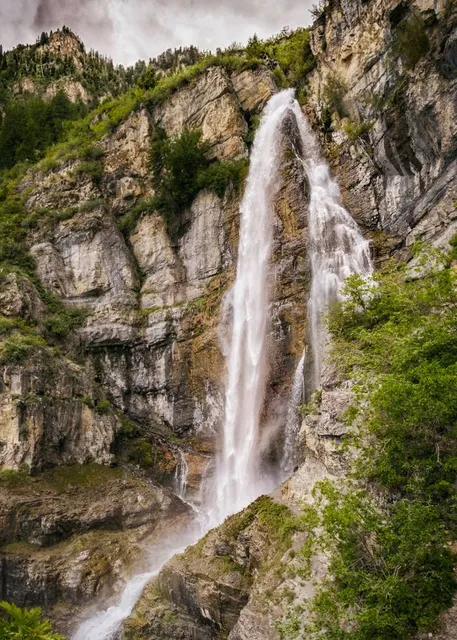
Stewart Falls Trail
4.8
(41)
Click for details


