Paria Canyon-Vermilion Cliffs Wilderness Area things to do, attractions, restaurants, events info and trip planning

Basic Info
Paria Canyon-Vermilion Cliffs Wilderness Area
US-89A, Marble Canyon, AZ 86036
4.8(35)
Closed
tickets
Save
spot
spot
Ratings & Description
Info
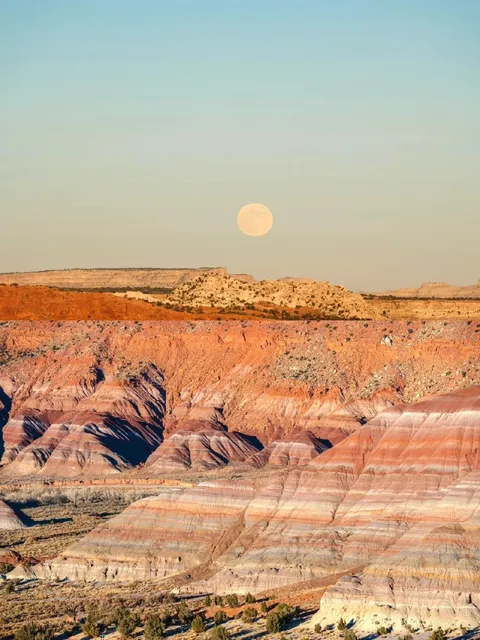
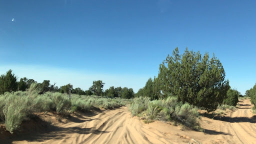
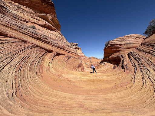
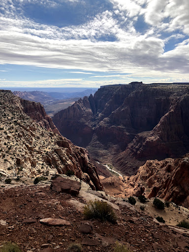
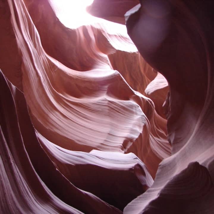
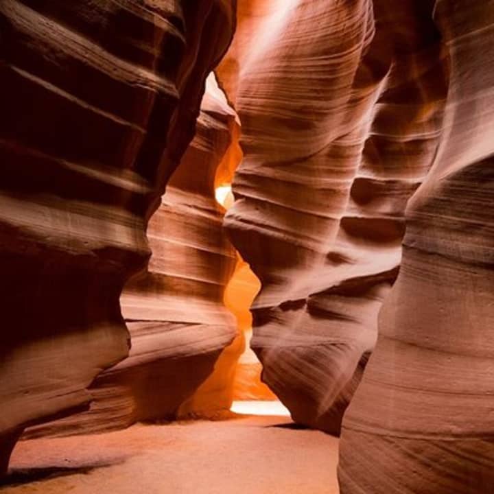
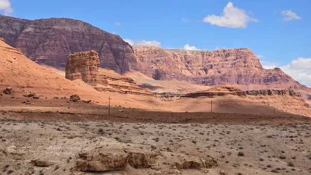
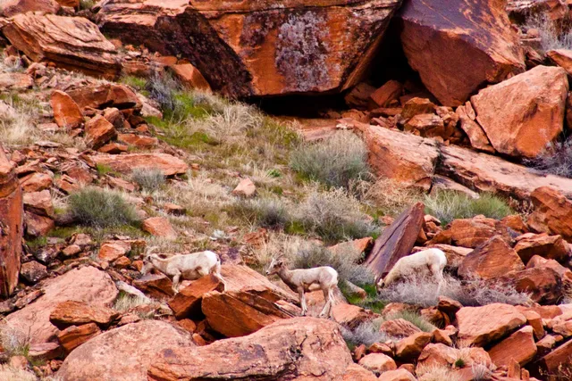
The Paria Canyon-Vermilion Cliffs Wilderness is a 112,500 acres wilderness area located in northern Arizona and southern Utah, United States, within the arid Colorado Plateau region. The wilderness is composed of broad plateaus, tall escarpments, and deep canyons.
Outdoor
Adventure
Scenic
Off the beaten path
attractions: Navajo Bridge Interpretive Center, Glen Canyon National Recreation Area - Lees Ferry Entrance Station, restaurants: Lonely JackRabbit Restaurant, Lucky Foot Coffee and Ice Cream Bar, local businesses: Lees Ferry on the Fly, Historic Navajo Bridge, Erin Floyd Yoga
Phone
(435) 688-3200
Website
blm.gov
Open hoursSee all hours
Sun10 AM - 5 PMClosed
Plan your stay

Pet-friendly Hotels in Four Corners States
Find a cozy hotel nearby and make it a full experience.

Affordable Hotels in Four Corners States
Find a cozy hotel nearby and make it a full experience.

The Coolest Hotels You Haven't Heard Of (Yet)
Find a cozy hotel nearby and make it a full experience.

Trending Stays Worth the Hype in Four Corners States
Find a cozy hotel nearby and make it a full experience.
Reviews
Live events
Antelope Canyon & Horseshoe Bend: Day Trip from Phoenix / Scottsdale
Mon, Feb 23 • 5:00 AM
1001 Page Parkway, Page, 86040
View details
Upper Antelope Canyon Admission Ticket (Tse Bighanilini)
Mon, Feb 23 • 7:45 AM
Highway 98, Milepost, 299, Page, 86040
View details
Nearby attractions of Paria Canyon-Vermilion Cliffs Wilderness Area
Navajo Bridge Interpretive Center
Glen Canyon National Recreation Area - Lees Ferry Entrance Station
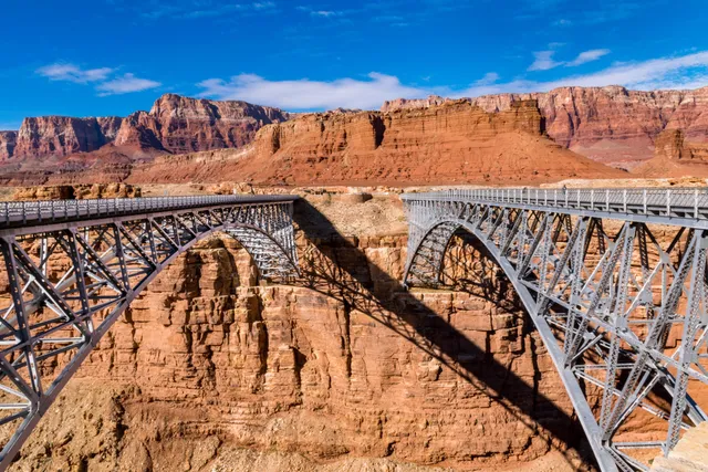
Navajo Bridge Interpretive Center
4.8
(75)
Closed
Click for details
Glen Canyon National Recreation Area - Lees Ferry Entrance Station
3.5
(7)
Open until 12:00 AM
Click for details
Nearby restaurants of Paria Canyon-Vermilion Cliffs Wilderness Area
Lonely JackRabbit Restaurant
Lucky Foot Coffee and Ice Cream Bar
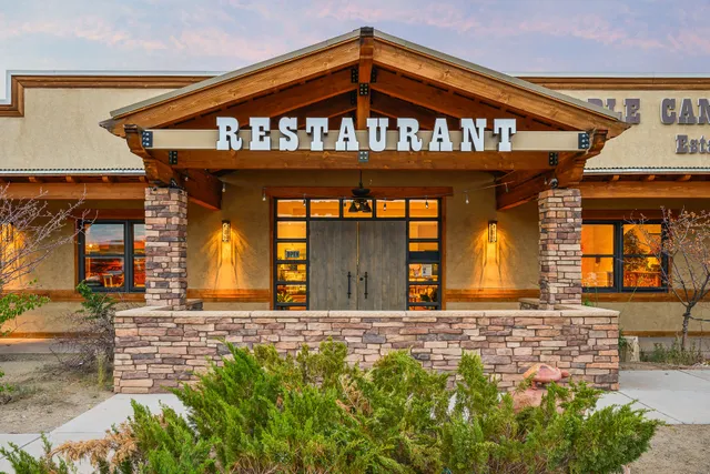
Lonely JackRabbit Restaurant
4.2
(257)
$
Closed
Click for details
Lucky Foot Coffee and Ice Cream Bar
4.5
(8)
$
Closed
Click for details
Nearby local services of Paria Canyon-Vermilion Cliffs Wilderness Area
Lees Ferry on the Fly
Historic Navajo Bridge
Erin Floyd Yoga
Lees Ferry on the Fly
5.0
(54)
Click for details
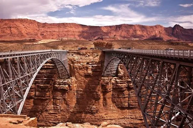
Historic Navajo Bridge
4.8
(1.2K)
Click for details

Erin Floyd Yoga
5.0
(6)
Click for details