Seneca Rocks Trailhead things to do, attractions, restaurants, events info and trip planning
Basic Info
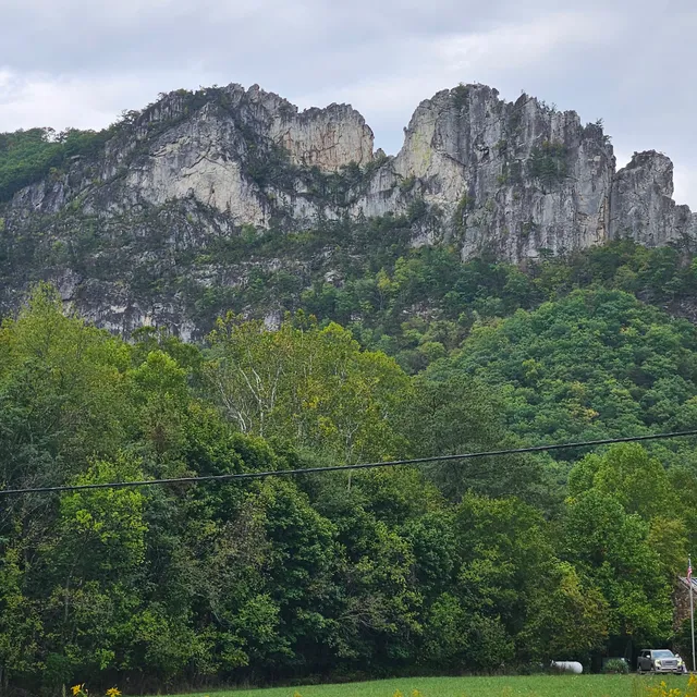
Seneca Rocks Trailhead
Seneca Rocks, WV 26884
4.9(327)
Open until 9:00 PM
Save
spot
spot
Ratings & Description
Info
Outdoor
Adventure
Scenic
Pet friendly
Family friendly
attractions: Seneca Rocks South Peak, Seneca Rocks, WV, Seneca Rocks Observation deck, restaurants: Front Porch Restaurant, local businesses: Harper's Old Country Store, Seneca Rocks, Seneca Rocks, Seneca Rocks, Yokum's Riding Stables
Website
fs.usda.gov
Open hoursSee all hours
Fri5 AM - 9 PMOpen
Plan your stay

Pet-friendly Hotels in Franklin
Find a cozy hotel nearby and make it a full experience.

Affordable Hotels in Franklin
Find a cozy hotel nearby and make it a full experience.

The Coolest Hotels You Haven't Heard Of (Yet)
Find a cozy hotel nearby and make it a full experience.

Trending Stays Worth the Hype in Franklin
Find a cozy hotel nearby and make it a full experience.
Reviews
Nearby attractions of Seneca Rocks Trailhead
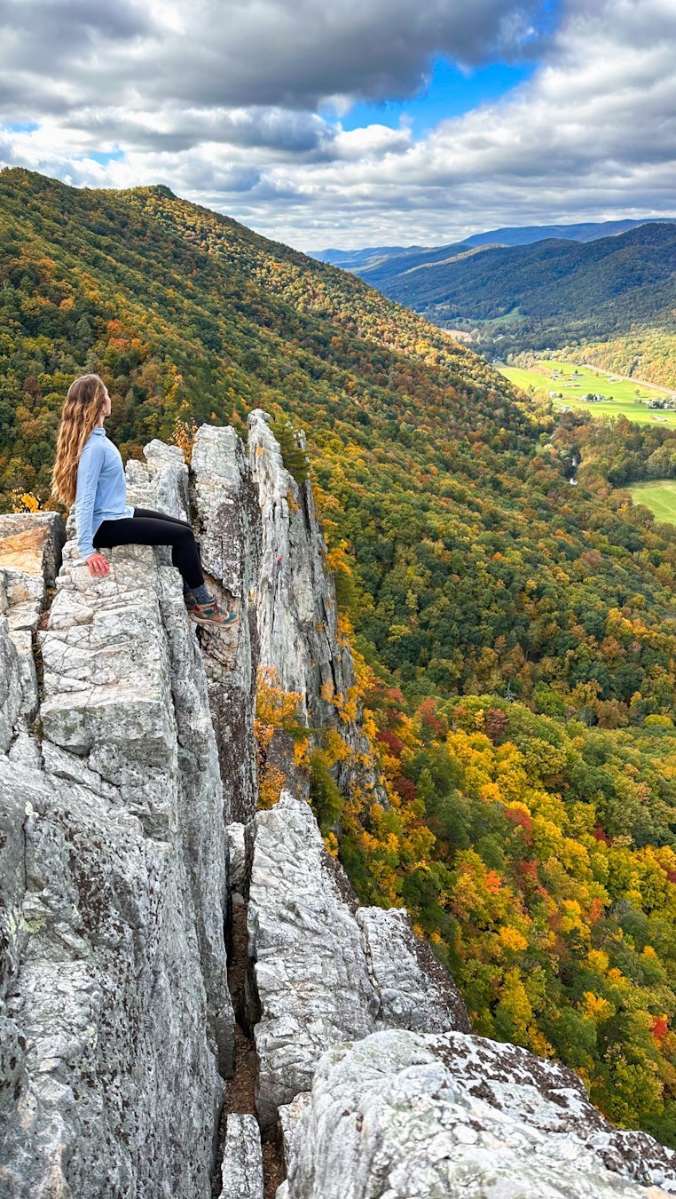
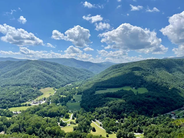
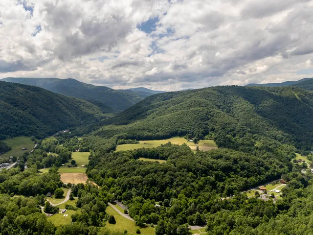
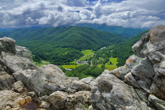
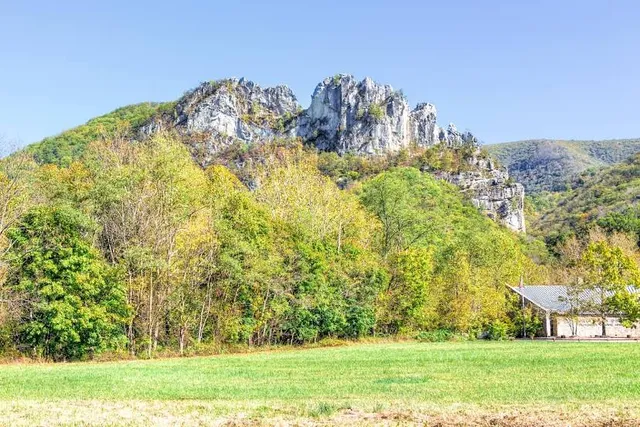
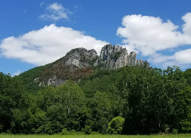
Seneca Rocks South Peak
Seneca Rocks, WV
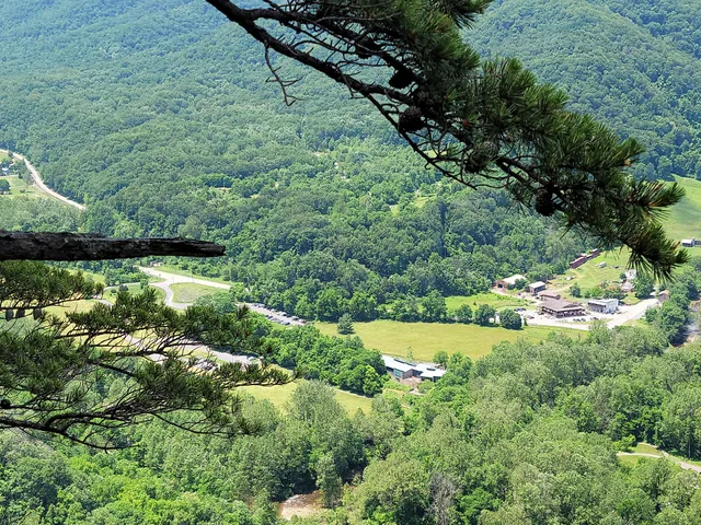
Seneca Rocks Observation deck
Seneca Rocks South Peak
4.9
(84)
Open 24 hours
Click for details
Seneca Rocks, WV
4.9
(31)
Open 24 hours
Click for details
Seneca Rocks Observation deck
4.9
(37)
Open until 12:00 AM
Click for details
Nearby restaurants of Seneca Rocks Trailhead
Front Porch Restaurant
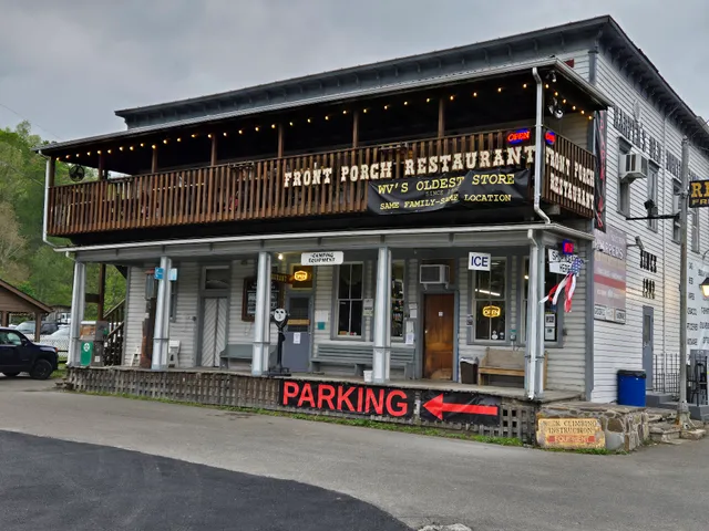
Front Porch Restaurant
4.2
(51)
$
Open until 12:00 AM
Click for details
Nearby local services of Seneca Rocks Trailhead
Harper's Old Country Store
Seneca Rocks
Seneca Rocks
Seneca Rocks
Yokum's Riding Stables

Harper's Old Country Store
4.6
(96)
Click for details
Seneca Rocks
5.0
(18)
Click for details
Seneca Rocks
4.9
(46)
Click for details
Seneca Rocks
5.0
(21)
Click for details