Big Pocono State Park things to do, attractions, restaurants, events info and trip planning
Basic Info
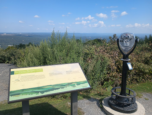
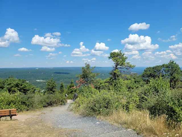
Big Pocono State Park
980 Camelback Rd, Tannersville, PA 18372, United States
4.7(1.1K)
Open 24 hours
Save
spot
spot
Ratings & Description
Info
Outdoor
Adventure
Scenic
Family friendly
Pet friendly
attractions: Summit House, Camelback Ziplining, restaurants: , local businesses: Big Pocono State Park, Camelback Mountain
Phone
+1 570-894-8336
Website
dcnr.pa.gov
Plan your stay

Pet-friendly Hotels in Jackson Township
Find a cozy hotel nearby and make it a full experience.

Affordable Hotels in Jackson Township
Find a cozy hotel nearby and make it a full experience.

The Coolest Hotels You Haven't Heard Of (Yet)
Find a cozy hotel nearby and make it a full experience.

Trending Stays Worth the Hype in Jackson Township
Find a cozy hotel nearby and make it a full experience.
Reviews
Live events

SLOPES & SLIDES FEBRUARY ESCAPE
Fri, Feb 20 • 9:00 AM
193 Resort Drive Tannersville, PA 18372
View details

BASIC HANDGUN FUNDAMENTALS
Fri, Feb 20 • 5:00 PM
7 South 7th Street Stroudsburg, PA 18360
View details

RFB Private Food & Beer Pairing
Fri, Feb 20 • 6:00 PM
1290 5 Points Richmond Road Bangor, PA 18013
View details
Nearby attractions of Big Pocono State Park
Summit House
Camelback Ziplining

Summit House
4.3
(157)
Closed
Click for details

Camelback Ziplining
3.5
(11)
Open until 6:00 PM
Click for details
Nearby local services of Big Pocono State Park
Big Pocono State Park
Camelback Mountain

Big Pocono State Park
4.7
(918)
Click for details

Camelback Mountain
3.7
(104)
Click for details