Brown Mountain Dam things to do, attractions, restaurants, events info and trip planning
Basic Info
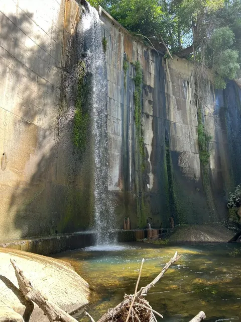
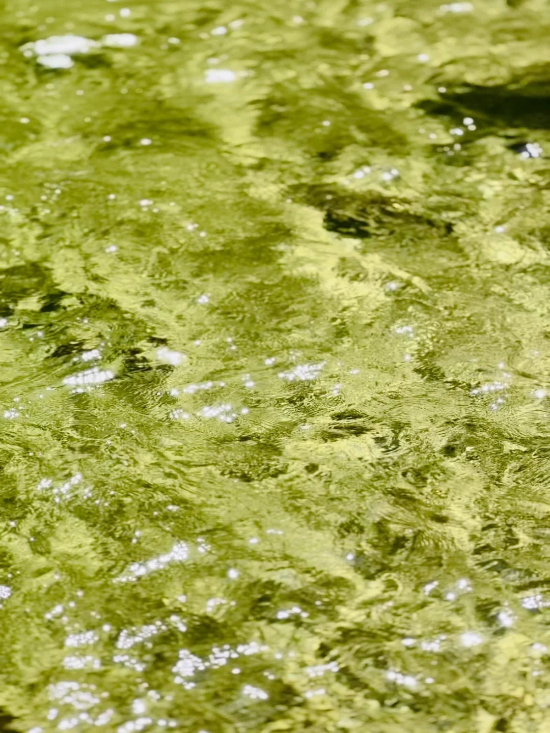
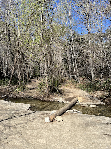
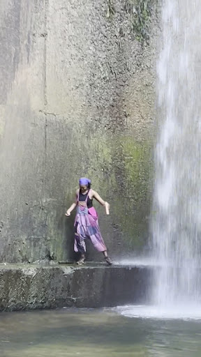
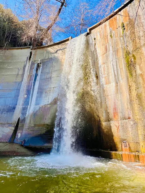
Brown Mountain Dam
Seco, Arroyo, La Cañada Flintridge, CA 91011
4.7(123)
Open until 12:00 AM
Save
spot
spot
Ratings & Description
Info
Outdoor
Adventure
Scenic
Off the beaten path
attractions: Paul Little Picnic Site, restaurants: , local businesses: Falls Canyon
Website
arroyoseco.org
Open hoursSee all hours
SunOpen 24 hoursOpen
Plan your stay

Pet-friendly Hotels in La Cañada Flintridge
Find a cozy hotel nearby and make it a full experience.

Affordable Hotels in La Cañada Flintridge
Find a cozy hotel nearby and make it a full experience.

The Coolest Hotels You Haven't Heard Of (Yet)
Find a cozy hotel nearby and make it a full experience.

Trending Stays Worth the Hype in La Cañada Flintridge
Find a cozy hotel nearby and make it a full experience.
Reviews
Live events
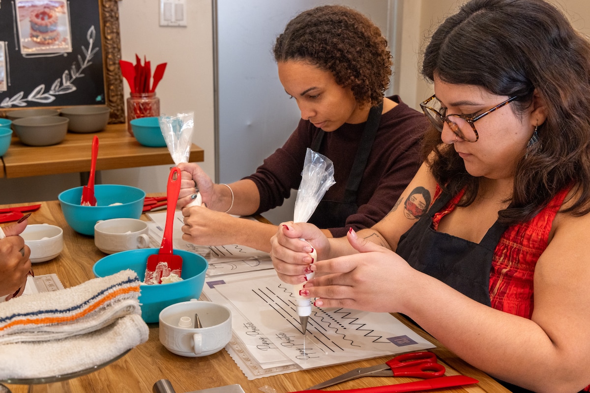
Decorate a cake at Sweet Lady Jane Melrose
Fri, Jan 30 • 10:00 AM
West Hollywood, California, 90069
View details

Performative Masc/Evil Femme Contest & Picnic
Sun, Jan 25 • 1:00 PM
4343 Encinita Avenue Rosemead, CA 91770
View details

Art & Music Pop Up with Colette and DJ Dazy
Sun, Jan 25 • 4:00 PM
1706 West Magnolia Boulevard Burbank, CA 91506
View details
Nearby attractions of Brown Mountain Dam
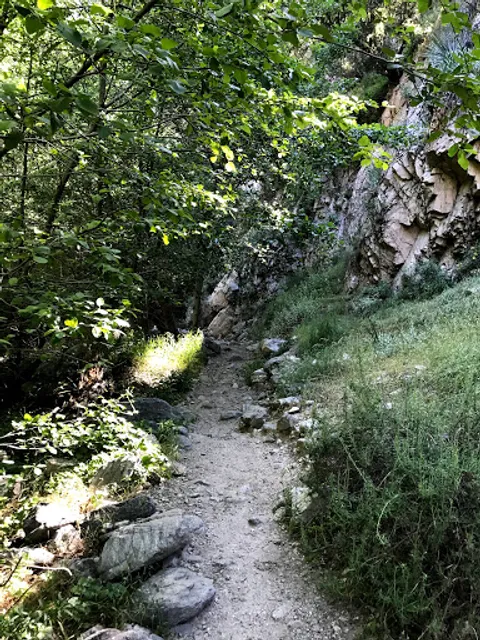
Paul Little Picnic Site
Paul Little Picnic Site
4.5
(17)
Closed
Click for details
Nearby local services of Brown Mountain Dam
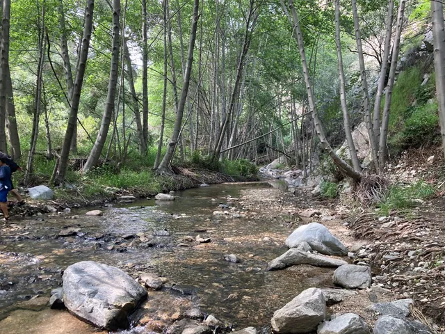
Falls Canyon
Falls Canyon
5.0
(2)
Click for details