Belgatos Park things to do, attractions, restaurants, events info and trip planning
Basic Info
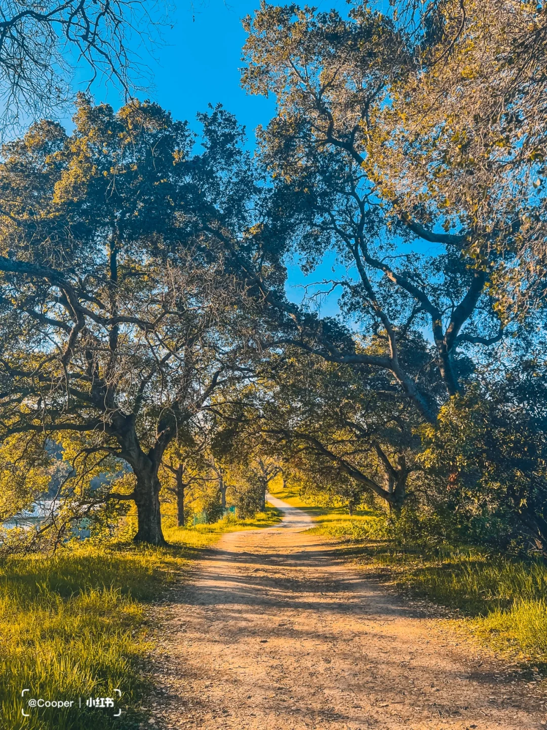
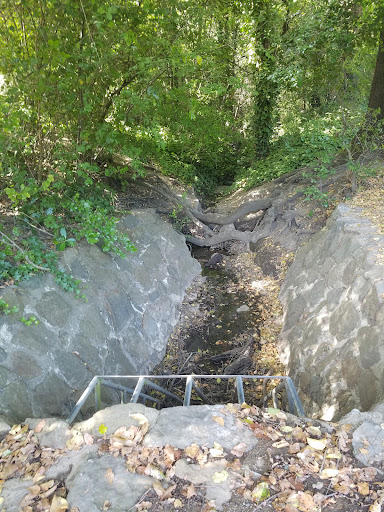
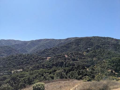
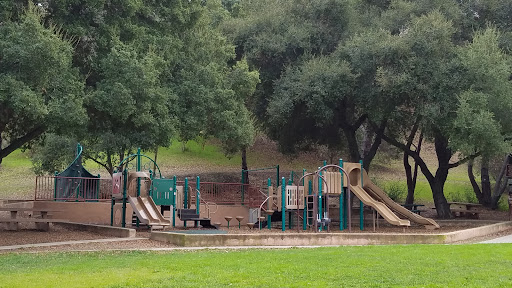
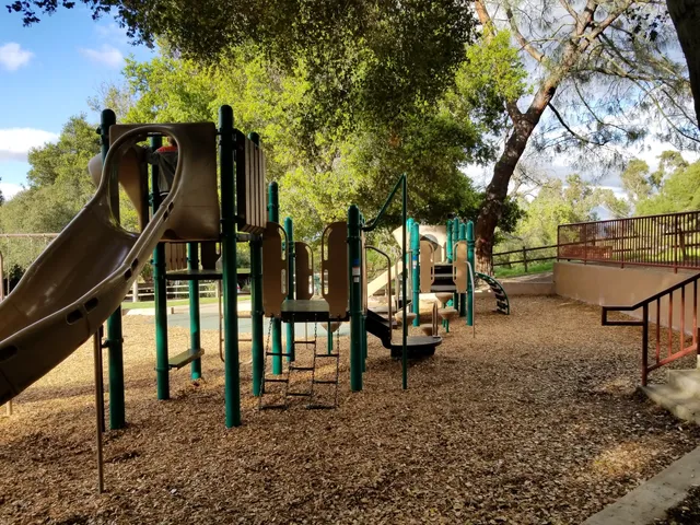
Belgatos Park
330 Belgatos Rd, Los Gatos, CA 95032
4.5(282)
Open until 8:00 PM
Save
spot
spot
Ratings & Description
Info
Outdoor
Adventure
Relaxation
Family friendly
Pet friendly
attractions: Vista and Valley View Trailhead, Heintz Open Space, restaurants: lelé cake, Pho Spot, lelé kitchen, Tea Garden Chinese Restaurant, Mountain Mike's Pizza, local businesses:
Phone
(408) 399-5770
Website
losgatosca.gov
Open hoursSee all hours
Sat8 AM - 8 PMOpen
Plan your stay

Pet-friendly Hotels in Los Gatos
Find a cozy hotel nearby and make it a full experience.

Affordable Hotels in Los Gatos
Find a cozy hotel nearby and make it a full experience.

The Coolest Hotels You Haven't Heard Of (Yet)
Find a cozy hotel nearby and make it a full experience.

Trending Stays Worth the Hype in Los Gatos
Find a cozy hotel nearby and make it a full experience.
Reviews
Live events

Turkish Mosaic Lamp Workshops - SJ
Sat, Feb 14 • 10:00 AM
San Jose, California, 95110
View details

BOLLYWOOD Break-Up PARTY | SILVER KEY EVENTS | MYTH - FEB 20
Fri, Feb 20 • 10:00 PM
152 Post Street San Jose, CA 95113
View details
Redwoods Forest Bathing in Santa Cruz
Sat, Feb 21 • 10:00 AM
Aptos, California, 95003
View details
Nearby attractions of Belgatos Park
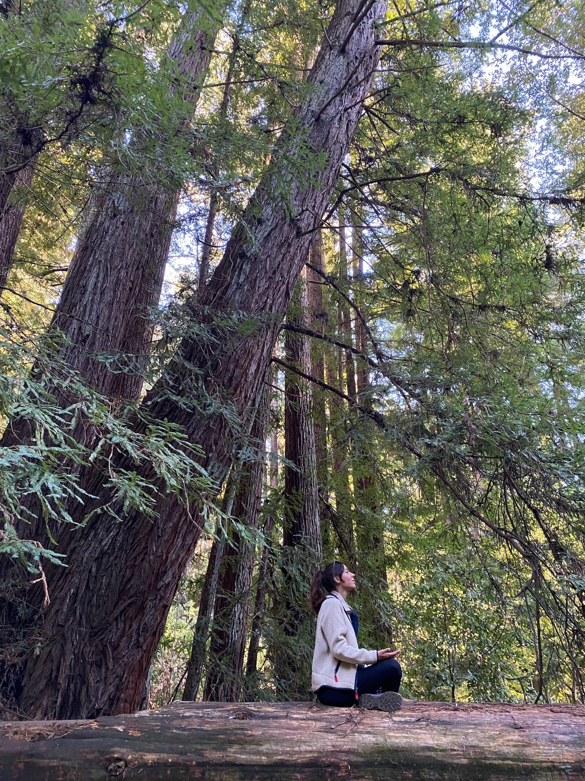
Vista and Valley View Trailhead
Heintz Open Space
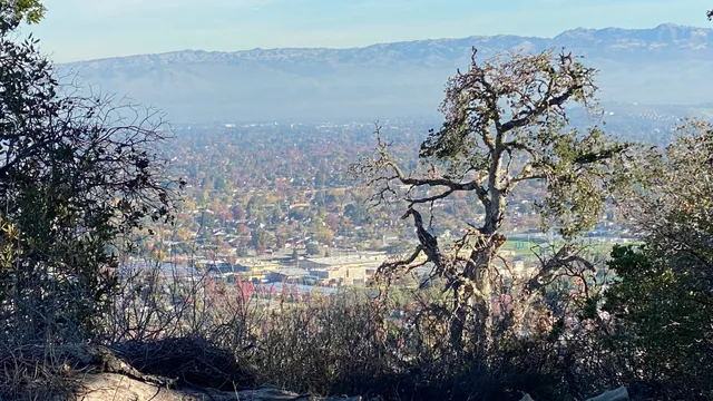
Vista and Valley View Trailhead
4.9
(33)
Open until 6:00 PM
Click for details
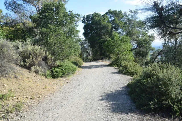
Heintz Open Space
4.6
(133)
Open until 7:30 PM
Click for details
Nearby restaurants of Belgatos Park
lelé cake
Pho Spot
lelé kitchen
Tea Garden Chinese Restaurant
Mountain Mike's Pizza
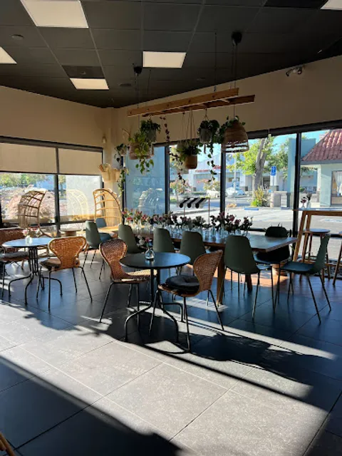
lelé cake
4.5
(250)
$$
Open until 5:00 PM
Click for details
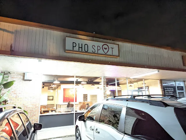
Pho Spot
4.4
(312)
$
Open until 8:00 PM
Click for details

lelé kitchen
4.7
(72)
$$$
Closed
Click for details

Tea Garden Chinese Restaurant
4.1
(43)
$
Closed
Click for details