Grandeur Peak (Face) Trailhead things to do, attractions, restaurants, events info and trip planning
Basic Info
Grandeur Peak (Face) Trailhead
2900 Wasatch Blvd, Salt Lake City, UT 84109
4.6(183)
Closed
Save
spot
spot
Ratings & Description
Info
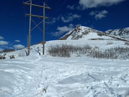
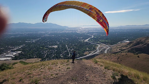
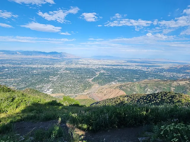
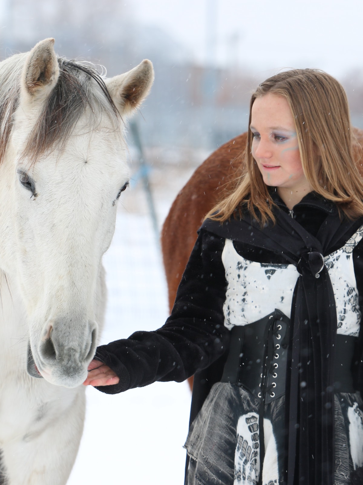
Outdoor
Adventure
Scenic
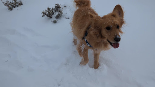
Pet friendly
Off the beaten path
attractions: , restaurants: Beans & Brews Coffee House, Starbucks, McDonald's, Wendy's, local businesses: Parley's Canyon, REI, Momentum Indoor Climbing Millcreek, Savers
Open hoursSee all hours
Wed7 AM - 10 PMClosed
Plan your stay

Pet-friendly Hotels in Millcreek
Find a cozy hotel nearby and make it a full experience.

Affordable Hotels in Millcreek
Find a cozy hotel nearby and make it a full experience.

The Coolest Hotels You Haven't Heard Of (Yet)
Find a cozy hotel nearby and make it a full experience.

Trending Stays Worth the Hype in Millcreek
Find a cozy hotel nearby and make it a full experience.
Reviews
Live events

Make farm-fresh goat milk soap
Fri, Jan 30 • 10:00 AM
Salt Lake City, Utah, 84119
View details

Make a bezel-set silver ring
Thu, Jan 29 • 1:00 PM
Millcreek, Utah, 84106
View details
Explore Urban Animal Farmstead
Thu, Jan 29 • 10:00 AM
Salt Lake City, Utah, 84119, United States
View details
Nearby restaurants of Grandeur Peak (Face) Trailhead
Beans & Brews Coffee House
Starbucks
McDonald's
Wendy's
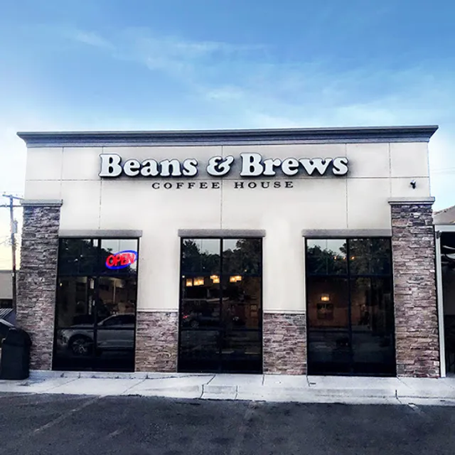
Beans & Brews Coffee House
4.1
(156)
$
Open until 8:00 PM
Click for details
Starbucks
3.8
(31)
$
Open until 8:00 PM
Click for details
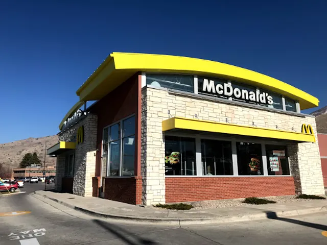
McDonald's
3.2
(328)
$
Open until 11:00 PM
Click for details
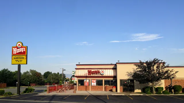
Wendy's
3.5
(269)
$
Open until 12:00 AM
Click for details
Nearby local services of Grandeur Peak (Face) Trailhead
Parley's Canyon
REI
Momentum Indoor Climbing Millcreek
Savers
Parley's Canyon
4.4
(23)
Click for details
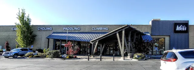
REI
4.3
(571)
Click for details
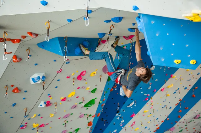
Momentum Indoor Climbing Millcreek
4.8
(853)
Click for details
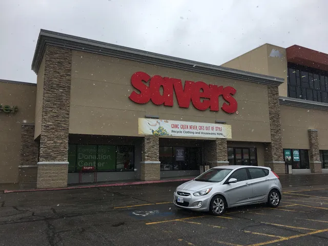
Savers
3.8
(320)
Click for details