Mount Teneriffe Trailhead things to do, attractions, restaurants, events info and trip planning
Basic Info
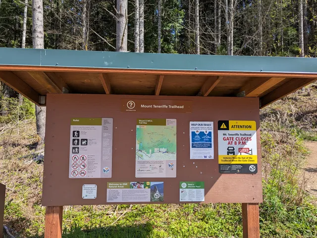
Mount Teneriffe Trailhead
Mount Teneriffe Rd, North Bend, WA 98045
4.7(308)
Open until 8:00 PM
Save
spot
spot
Ratings & Description
Info
Outdoor
Adventure
Scenic
Pet friendly
Off the beaten path
attractions: Mt. Si Trailhead, restaurants: , local businesses: New Teneriffe Trailhead Parking, Rainbow Lodge Retreat Center
Phone
(425) 888-1421
Website
wta.org
Open hoursSee all hours
Sat7 AM - 8 PMOpen
Plan your stay

Pet-friendly Hotels in North Bend
Find a cozy hotel nearby and make it a full experience.

Affordable Hotels in North Bend
Find a cozy hotel nearby and make it a full experience.

The Coolest Hotels You Haven't Heard Of (Yet)
Find a cozy hotel nearby and make it a full experience.

Trending Stays Worth the Hype in North Bend
Find a cozy hotel nearby and make it a full experience.
Reviews
Live events

Sound Bath Immersion – Issaquah
Sat, Feb 21 • 7:00 PM
2128 Northwest Shy Bear Way Issaquah, WA 98027
View details

Open House at Sanas Natura - Naturopathic Wellnes Clinic
Sun, Feb 22 • 1:00 PM
3707 Providence Point Drive Southeast #Suite A Issaquah, WA 98029
View details

ISD Premiere of Multiple Choice: What if Schools Prepared Kids for Life?
Thu, Feb 26 • 5:45 PM
700 2nd Avenue Southeast Issaquah, WA 98027
View details
Nearby attractions of Mount Teneriffe Trailhead
Mt. Si Trailhead
Mt. Si Trailhead
4.7
(550)
Open until 8:00 PM
Click for details
Nearby local services of Mount Teneriffe Trailhead
New Teneriffe Trailhead Parking
Rainbow Lodge Retreat Center
New Teneriffe Trailhead Parking
4.5
(9)
Click for details

Rainbow Lodge Retreat Center
4.8
(51)
Click for details