Alder Creek Trailhead things to do, attractions, restaurants, events info and trip planning
Basic Info
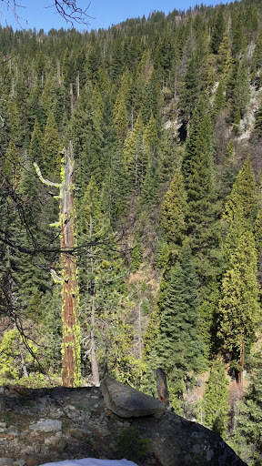
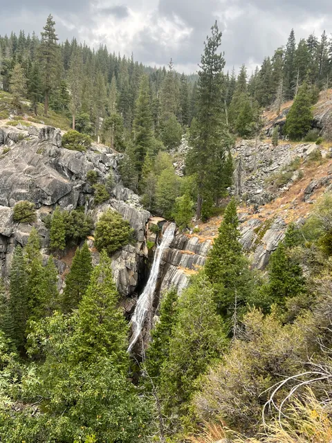
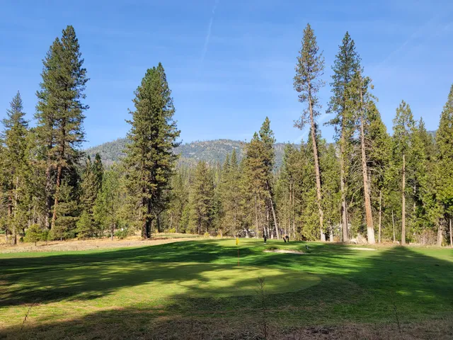
Alder Creek Trailhead
Chilnualna Ave, Wawona, CA 95389
4.5(5)
Open 24 hours
Save
spot
spot
Ratings & Description
Info
Outdoor
Adventure
Scenic
Pet friendly
Off the beaten path
attractions: Yosemite History Center, Wawona Visitor Center at Hill’s Studio, Historic Wawona Covered Bridge, Chinese Laundry, Wilderness Permit Station, Wawona Meadow Loop Trailhead, restaurants: Wawona Hotel Dining Room, local businesses: Wawona General Store, UC Merced Yosemite Field Station, Wawona Hotel Golf Course, Wawona Home, Miller's Landing Yosemite Vacation Home, River Refuge Vacation Home Rental, Pine Creek Cabin
Plan your stay

Pet-friendly Hotels in Oakhurst
Find a cozy hotel nearby and make it a full experience.

Affordable Hotels in Oakhurst
Find a cozy hotel nearby and make it a full experience.

The Coolest Hotels You Haven't Heard Of (Yet)
Find a cozy hotel nearby and make it a full experience.

Trending Stays Worth the Hype in Oakhurst
Find a cozy hotel nearby and make it a full experience.
Reviews
Live events
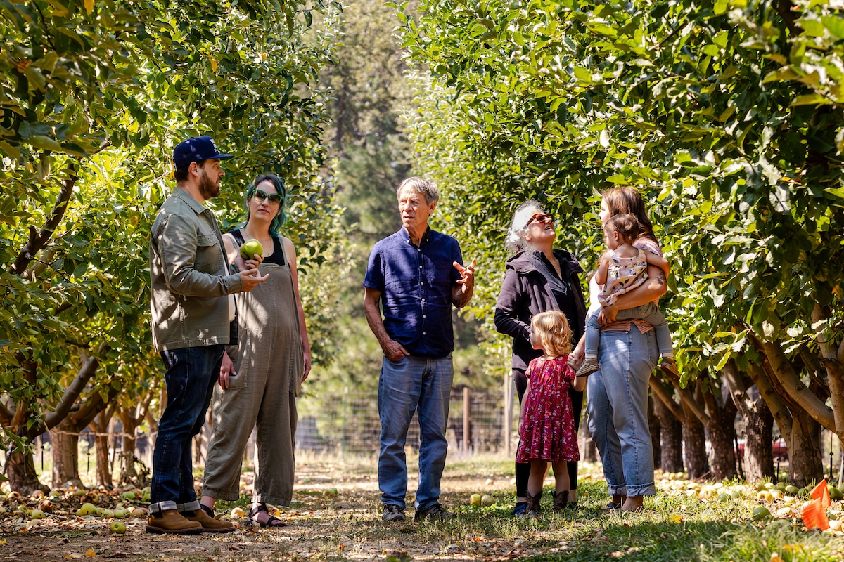
Explore Yosemites Sierra Cider Orchard
Mon, Feb 16 • 3:00 PM
Mariposa, California, 95338
View details

Yosemite National Park - One Way Trip
Sun, Feb 15 • 3:30 PM
478 Post St, San Francisco, 94102
View details
Nearby attractions of Alder Creek Trailhead
Yosemite History Center
Wawona Visitor Center at Hill’s Studio
Historic Wawona Covered Bridge
Chinese Laundry
Wilderness Permit Station
Wawona Meadow Loop Trailhead
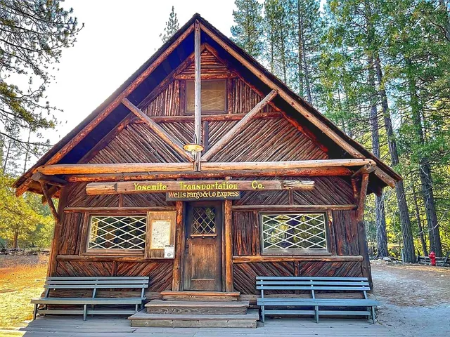
Yosemite History Center
4.7
(118)
Open until 12:00 AM
Click for details
Wawona Visitor Center at Hill’s Studio
4.6
(178)
Closed
Click for details

Historic Wawona Covered Bridge
4.7
(28)
Open until 12:00 AM
Click for details
Chinese Laundry
5.0
(1)
Closed
Click for details
Nearby restaurants of Alder Creek Trailhead
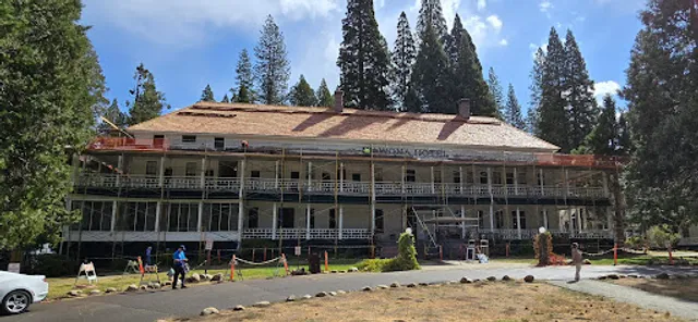
Wawona Hotel Dining Room

Wawona Hotel Dining Room
3.9
(184)
$$
Click for details
Nearby local services of Alder Creek Trailhead
Wawona General Store
UC Merced Yosemite Field Station
Wawona Hotel Golf Course
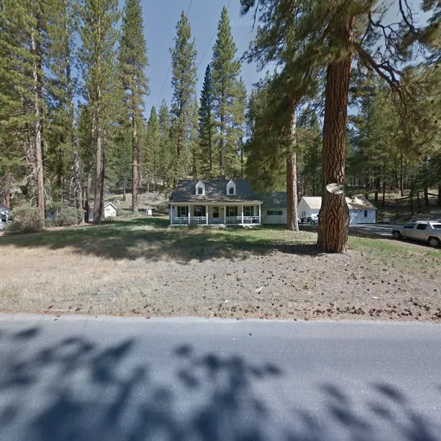
Wawona Home
Miller's Landing Yosemite Vacation Home
River Refuge Vacation Home Rental
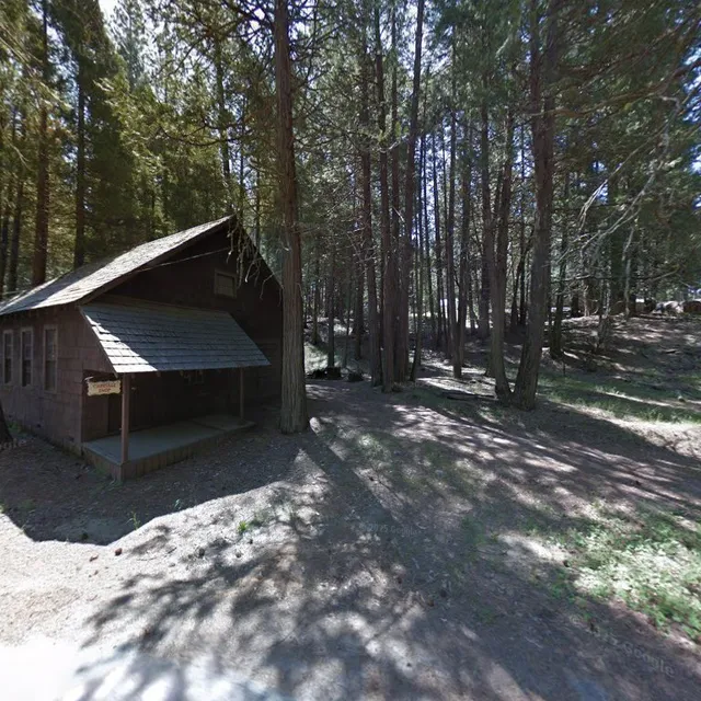
Pine Creek Cabin
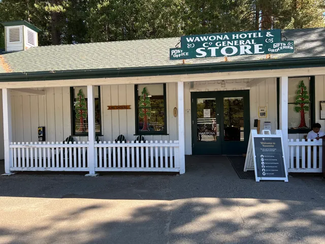
Wawona General Store
4.1
(44)
Click for details
UC Merced Yosemite Field Station
4.5
(1)
Click for details
Wawona Hotel Golf Course
3.6
(22)
Click for details
Wawona Home
4.9
(8)
Click for details