Angel's Rest Trailhead things to do, attractions, restaurants, events info and trip planning
Basic Info
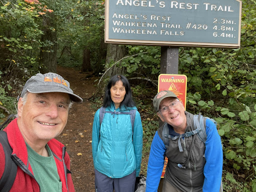
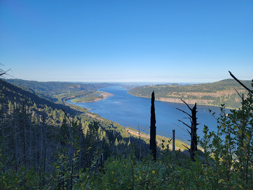
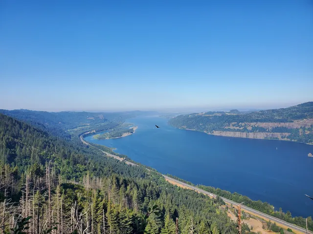
Angel's Rest Trailhead
47505 Historic Columbia River Hwy, Corbett, OR 97019
4.8(80)
Open 24 hours
Save
spot
spot
Ratings & Description
Info
Outdoor
Adventure
Scenic
Pet friendly
attractions: Bridal Veil Falls, restaurants: , local businesses: Bridal Veil Falls, Bridal Veil Falls, Coopey Falls
Website
fs.usda.gov
Plan your stay

Pet-friendly Hotels in Oregon
Find a cozy hotel nearby and make it a full experience.

Affordable Hotels in Oregon
Find a cozy hotel nearby and make it a full experience.

The Coolest Hotels You Haven't Heard Of (Yet)
Find a cozy hotel nearby and make it a full experience.

Trending Stays Worth the Hype in Oregon
Find a cozy hotel nearby and make it a full experience.
Reviews
Live events

Healing Breathwork and Hypnosis - Activate Your Resilient Spirit
Thu, Feb 12 • 6:30 PM
1919 Northwest Sierra Way Camas, WA 98607
View details

Self-Care City Scavenger Hunt: Based on Hot Habits Series - Gresham Area
Thu, Feb 12 • 1:00 PM
103 West Powell Boulevard Gresham, OR 97030
View details

Backcountry Discovery Routes MTBDR Screening: Triumph Columbia River
Fri, Feb 13 • 6:00 PM
17979 Northeast Glisan Street Portland, OR 97230
View details
Nearby attractions of Angel's Rest Trailhead
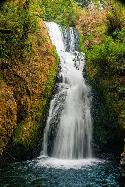
Bridal Veil Falls
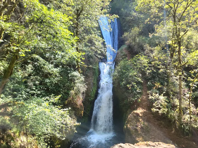
Bridal Veil Falls
4.8
(1.1K)
Open 24 hours
Click for details
Nearby local services of Angel's Rest Trailhead
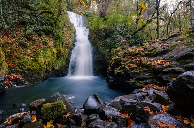
Bridal Veil Falls
Bridal Veil Falls
Coopey Falls
Bridal Veil Falls
4.8
(882)
Click for details
Bridal Veil Falls
4.9
(129)
Click for details
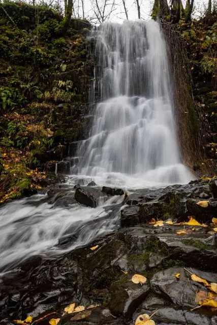
Coopey Falls
4.8
(8)
Click for details