Elk Flats Trail things to do, attractions, restaurants, events info and trip planning
Basic Info
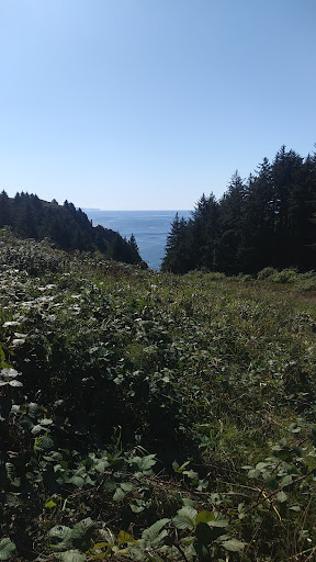
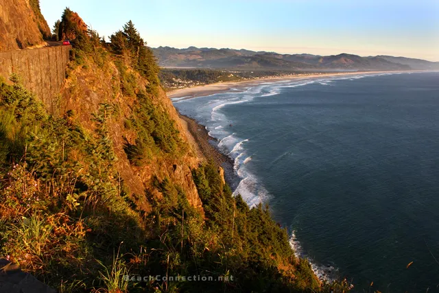
Elk Flats Trail
Oregon Coast Hwy, Nehalem, OR 97131, United States
4.8(147)
Open until 12:00 AM
Save
spot
spot
Ratings & Description
Info
Outdoor
Adventure
Scenic
Pet friendly
attractions: Neah-Kah-Nie Mountain Trail - North Trailhead, Neahkahnie Viewpoint, Devils Cauldron, restaurants: , local businesses:
Open hoursSee all hours
SunOpen 24 hoursOpen
Plan your stay

Pet-friendly Hotels in Oregon
Find a cozy hotel nearby and make it a full experience.

Affordable Hotels in Oregon
Find a cozy hotel nearby and make it a full experience.

The Coolest Hotels You Haven't Heard Of (Yet)
Find a cozy hotel nearby and make it a full experience.

Trending Stays Worth the Hype in Oregon
Find a cozy hotel nearby and make it a full experience.
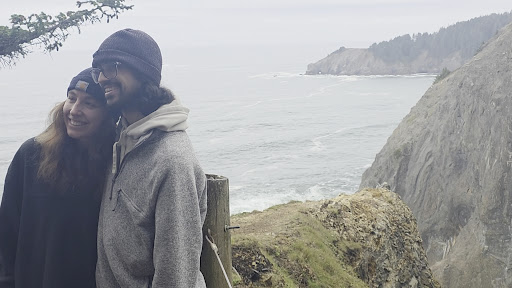
Reviews
Live events

Drafts & Crafts with Hammer & Stain
Tue, Feb 17 • 6:00 PM
1371 S Hemlock Street, Cannon Beach, OR, United States, Oregon 97110
View details

Basketball for men and young men
Tue, Feb 17 • 8:00 PM
The Church of Jesus Christ of Latter-day Saints, 1403 South Wahanna Road, Seaside, United States
View details

Terri L Sweet
Wed, Feb 18 • 7:00 PM
1403 South Wahanna Road Seaside, OR 97138
View details
Nearby attractions of Elk Flats Trail
Neah-Kah-Nie Mountain Trail - North Trailhead
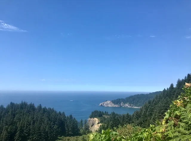
Neahkahnie Viewpoint
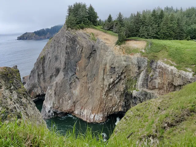
Devils Cauldron
Neah-Kah-Nie Mountain Trail - North Trailhead
4.7
(59)
Open until 12:00 AM
Click for details
Neahkahnie Viewpoint
4.9
(834)
Open until 10:00 PM
Click for details

Devils Cauldron
4.9
(19)
Open 24 hours
Click for details