Mountainside Park things to do, attractions, restaurants, events info and trip planning
Basic Info
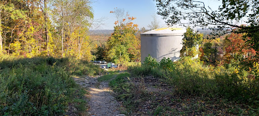
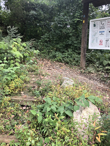
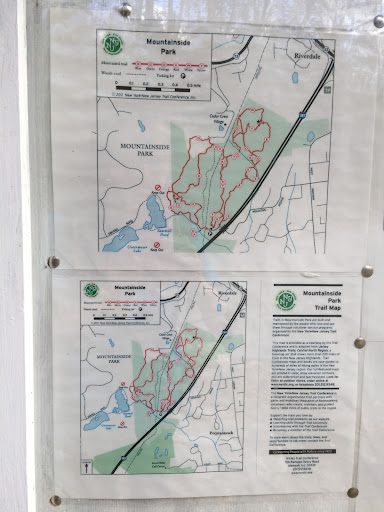
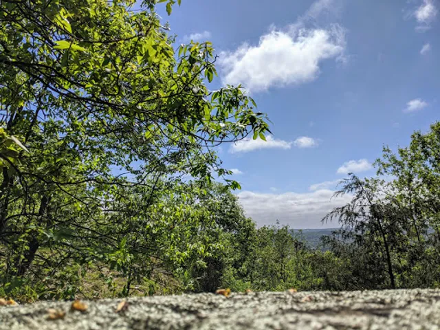
Mountainside Park
Mountain Ave, Pompton Plains, NJ 07444
4.3(35)
Open until 6:00 PM
Save
spot
spot
Ratings & Description
Info
Outdoor
Adventure
Scenic
Family friendly
Pet friendly
attractions: , restaurants: Mr. Sams Ice Cream Truck, local businesses: Sunset Valley Golf Course
Open hoursSee all hours
Wed8 AM - 6 PMOpen
Plan your stay

Pet-friendly Hotels in Pequannock Township
Find a cozy hotel nearby and make it a full experience.

Affordable Hotels in Pequannock Township
Find a cozy hotel nearby and make it a full experience.

The Coolest Hotels You Haven't Heard Of (Yet)
Find a cozy hotel nearby and make it a full experience.

Trending Stays Worth the Hype in Pequannock Township
Find a cozy hotel nearby and make it a full experience.
Reviews
Live events

Creating Collective Impact
Thu, Jan 15 • 8:30 AM
150 Bleeker Street #1982, Newark, NJ 07102
View details

Zumba with Adrianne: Dance and Donate!
Fri, Jan 16 • 7:00 PM
390 Murray Hill Parkway #Suite A, East Rutherford, NJ 07073
View details

North Jersey Wedding Expo at the Montclair Art Museum
Sat, Jan 17 • 1:00 PM
3 South Mountain Avenue, Montclair, NJ 07042
View details
Nearby restaurants of Mountainside Park
Mr. Sams Ice Cream Truck
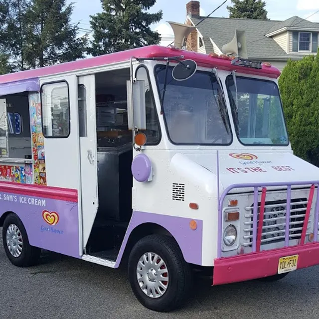
Mr. Sams Ice Cream Truck
3.4
(13)
Closed
Click for details
Nearby local services of Mountainside Park
Sunset Valley Golf Course
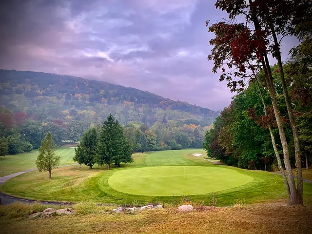
Sunset Valley Golf Course
4.1
(209)
Click for details