Tongue Ranger District and Forest Supervisor's Office things to do, attractions, restaurants, events info and trip planning

Basic Info
Tongue Ranger District and Forest Supervisor's Office
2013 Eastside 2nd St, Sheridan, WY 82801, United States
4.8(227)
Open until 12:00 AM
Save
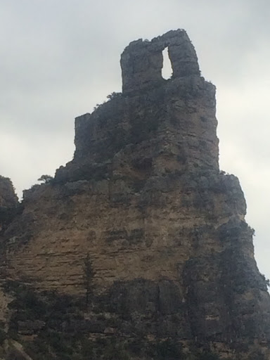
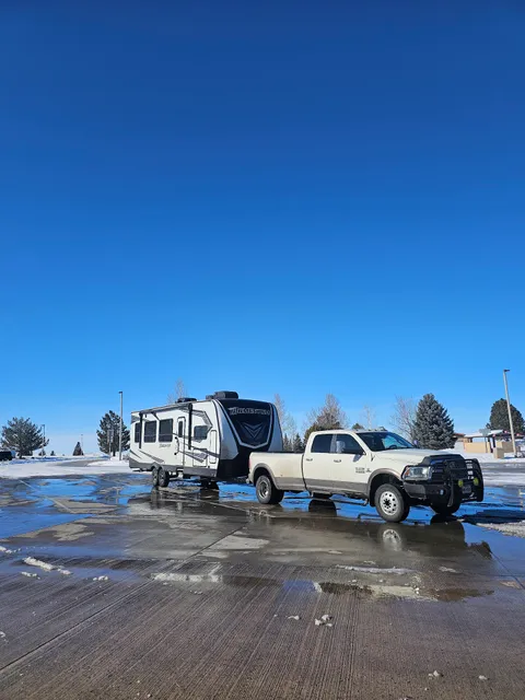
spot
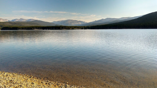
spot
Ratings & Description
Info
Outdoor
Adventure
Scenic
Family friendly
Pet friendly
Off the beaten path
attractions: Sheridan County Travel & Tourism, restaurants: Choppers Deli, local businesses: Sheridan Information Center & Rest Area, Western Heritage Meat Company, Bucks Travel Stop, Carson's
Phone
+1 307-674-2600
Website
fs.usda.gov
Open hoursSee all hours
SunClosedOpen
Plan your stay

Pet-friendly Hotels in Sheridan
Find a cozy hotel nearby and make it a full experience.

Affordable Hotels in Sheridan
Find a cozy hotel nearby and make it a full experience.

The Coolest Hotels You Haven't Heard Of (Yet)
Find a cozy hotel nearby and make it a full experience.

Trending Stays Worth the Hype in Sheridan
Find a cozy hotel nearby and make it a full experience.
Reviews
Live events

Sheridan Stake Conference
Fri, Feb 20 • 11:00 PM
2051 Colonial Drive Sheridan, WY 82801
View details

Eric Huebner, pianist for the NY Philharmonic
Fri, Feb 27 • 6:00 PM
1 Whitney Way , Sheridan, WY, United States, Wyoming 82801
View details
Nearby attractions of Tongue Ranger District and Forest Supervisor's Office
Sheridan County Travel & Tourism

Sheridan County Travel & Tourism
4.5
(351)
Open until 12:00 AM
Click for details
Nearby restaurants of Tongue Ranger District and Forest Supervisor's Office
Choppers Deli
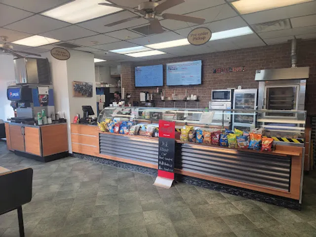
Choppers Deli
5.0
(53)
$
Closed
Click for details
Nearby local services of Tongue Ranger District and Forest Supervisor's Office
Sheridan Information Center & Rest Area
Western Heritage Meat Company
Bucks Travel Stop
Carson's
Sheridan Information Center & Rest Area
4.5
(172)
Click for details
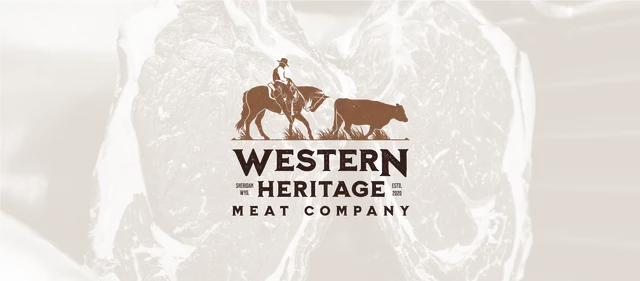
Western Heritage Meat Company
4.1
(18)
Click for details
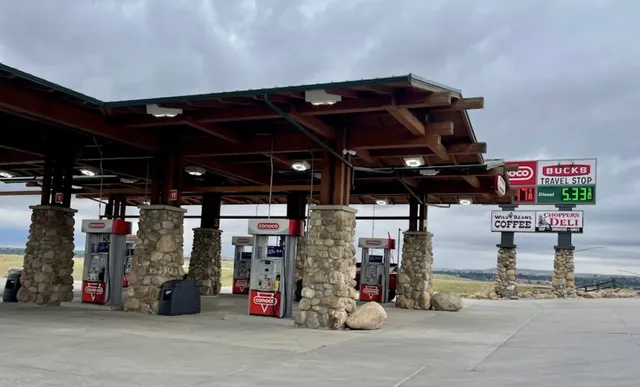
Bucks Travel Stop
4.4
(12)
Click for details
Carson's
3.8
(23)
Click for details