Piney Falls Trailhead things to do, attractions, restaurants, events info and trip planning
Basic Info
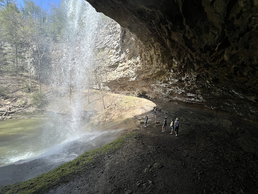
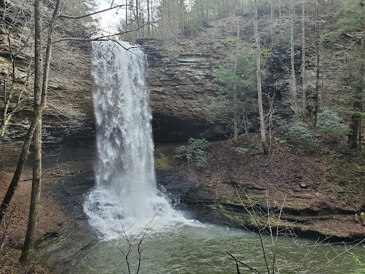
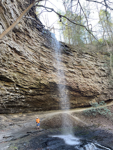
Piney Falls Trailhead
760-1998 Firetower Rd, Grandview, TN 37337
4.7(124)
Open 24 hours
Save
spot
spot
Ratings & Description
Info
Outdoor
Adventure
Scenic
Family friendly
Pet friendly
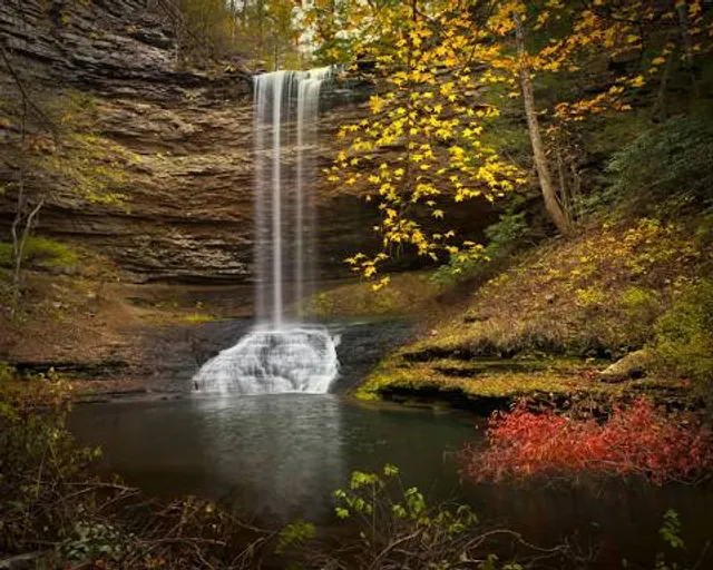
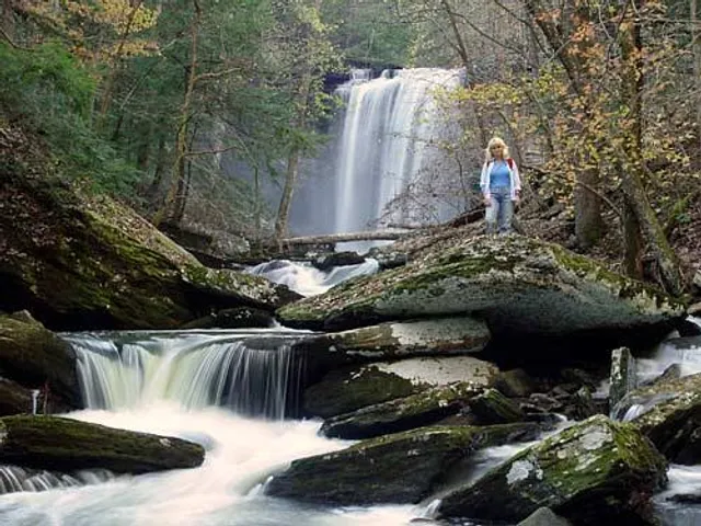
attractions: Piney Falls State Natural Area, restaurants: , local businesses: Upper Piney Falls, Lower Piney Falls
Website
tnvacation.com
Plan your stay

Pet-friendly Hotels in Tennessee
Find a cozy hotel nearby and make it a full experience.

Affordable Hotels in Tennessee
Find a cozy hotel nearby and make it a full experience.

The Coolest Hotels You Haven't Heard Of (Yet)
Find a cozy hotel nearby and make it a full experience.

Trending Stays Worth the Hype in Tennessee
Find a cozy hotel nearby and make it a full experience.
Reviews
Live events

46th Annual Sweetheart Pageant
Sat, Feb 21 • 2:00 PM
660 Stanley Street, 660 Stanley St, Crossville, TN 38555-4790, United States
View details

Enchanted Winter Evening
Sat, Feb 21 • 6:00 PM
Cofer's Garage, 141 South Front Street,Rockwood, Tennessee, United States
View details

Rotary Club of Harrimans Daddy Daughter Dance (2026)
Sat, Feb 21 • 7:00 PM
276 Patton Lane Harriman, TN 37748
View details
Nearby attractions of Piney Falls Trailhead
Piney Falls State Natural Area

Piney Falls State Natural Area
4.8
(14)
Closed
Click for details
Nearby local services of Piney Falls Trailhead
Upper Piney Falls
Lower Piney Falls
Upper Piney Falls
4.6
(57)
Click for details
Lower Piney Falls
4.6
(19)
Click for details