Lower Piney Falls things to do, attractions, restaurants, events info and trip planning
Basic Info
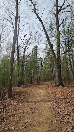
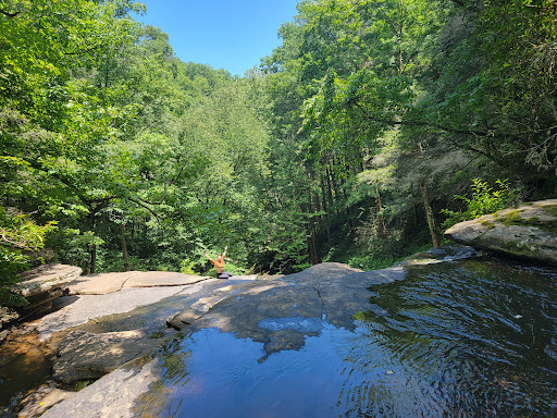
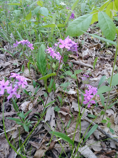
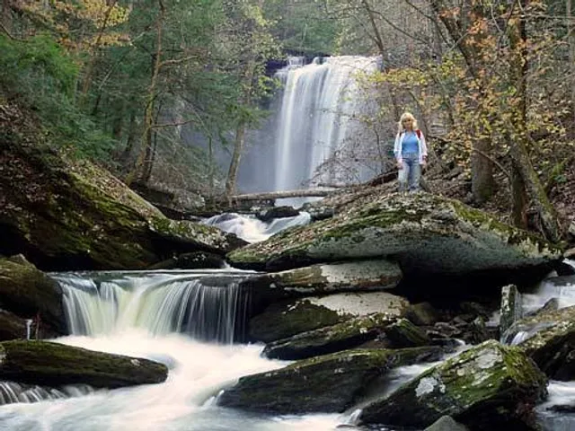
Lower Piney Falls
Tennessee 37337
4.6(19)
Save
spot
spot
Ratings & Description
Info
Outdoor
Adventure
Scenic
Pet friendly
Off the beaten path
attractions: Piney Falls Trailhead, Piney Falls State Natural Area, restaurants: , local businesses: Upper Piney Falls
Plan your stay

Pet-friendly Hotels in Tennessee
Find a cozy hotel nearby and make it a full experience.

Affordable Hotels in Tennessee
Find a cozy hotel nearby and make it a full experience.

The Coolest Hotels You Haven't Heard Of (Yet)
Find a cozy hotel nearby and make it a full experience.

Trending Stays Worth the Hype in Tennessee
Find a cozy hotel nearby and make it a full experience.
Reviews
Live events

Live at Watts Bar Beer Works
Fri, Feb 27 • 7:00 PM
Watts Bar Beer Works, 353 Front Street,Spring City, Tennessee, United States
View details
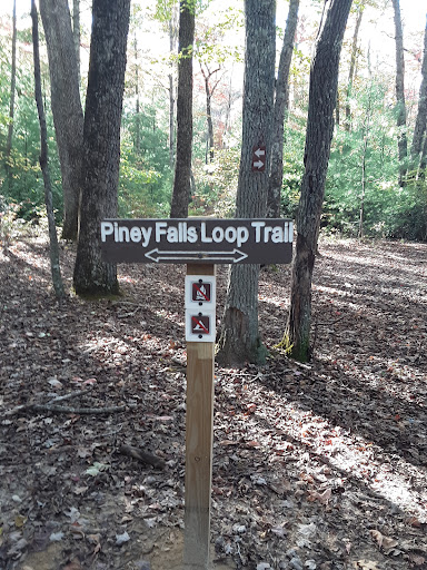
Nearby attractions of Lower Piney Falls
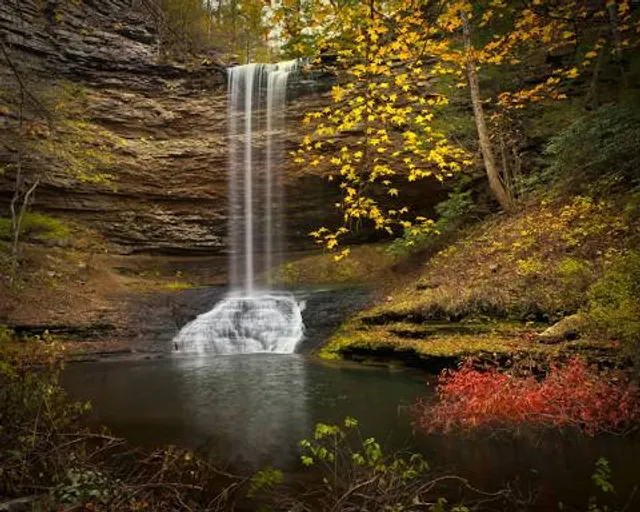
Piney Falls Trailhead
Piney Falls State Natural Area
Piney Falls Trailhead
4.7
(124)
Open 24 hours
Click for details

Piney Falls State Natural Area
4.8
(14)
Open until 5:00 PM
Click for details
Nearby local services of Lower Piney Falls
Upper Piney Falls
Upper Piney Falls
4.6
(57)
Click for details