Petersburg National Battlefield things to do, attractions, restaurants, events info and trip planning
Basic Info
Petersburg National Battlefield
5001 Siege Rd, Petersburg, VA 23803
4.7(358)
Open until 5:00 PM
Save
spot
spot
Ratings & Description
Info
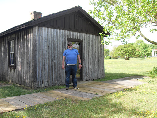
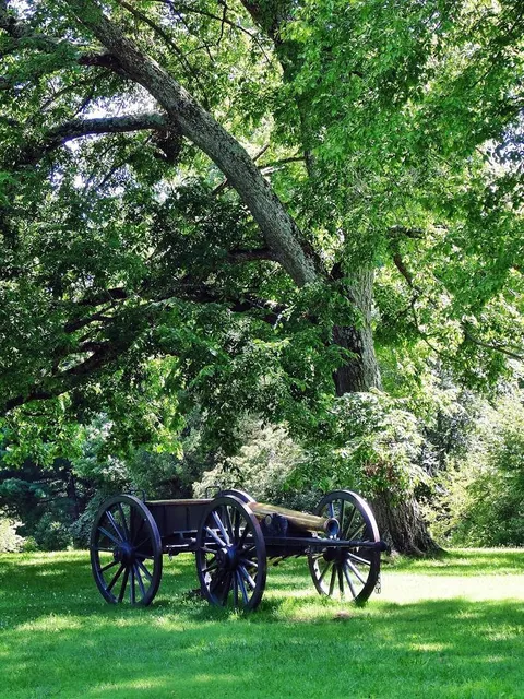
Petersburg National Battlefield is a National Park Service unit preserving sites related to the American Civil War Siege of Petersburg. The battlefield is near the city of Petersburg, Virginia, and includes outlying components in Hopewell, Prince George County, and Dinwiddie County.
Cultural
Outdoor
Scenic
Family friendly
Accessibility
attractions: Petersburg National Battlefield Park Trailhead, US Army Quartermaster Museum, US Army Women's Museum, restaurants: 36 Soul Food, Good Cooking "64", local businesses: 500 Gregg Ave
Phone
(804) 732-3531
Website
nps.gov
Open hoursSee all hours
Tue9 AM - 5 PMOpen
Plan your stay

Pet-friendly Hotels in Virginia
Find a cozy hotel nearby and make it a full experience.

Affordable Hotels in Virginia
Find a cozy hotel nearby and make it a full experience.

The Coolest Hotels You Haven't Heard Of (Yet)
Find a cozy hotel nearby and make it a full experience.

Trending Stays Worth the Hype in Virginia
Find a cozy hotel nearby and make it a full experience.
Reviews
Live events

Wine + Watercolor
Fri, Jan 30 • 6:00 PM
412 North Sycamore Street Petersburg, VA 23803
View details

Self-Leadership: 1 Day Training in Syracuse, NY
Tue, Jan 27 • 9:00 AM
Ph No +1 469 666 9332, Syracuse, NY 13201
View details

Show Me the Money: DPA (Down Payment Assistance) options for Homebuyers
Tue, Jan 27 • 5:00 PM
Petersburg Public Library - Study Room 3, 201 West Washington Street, Petersburg, United States
View details
Nearby attractions of Petersburg National Battlefield
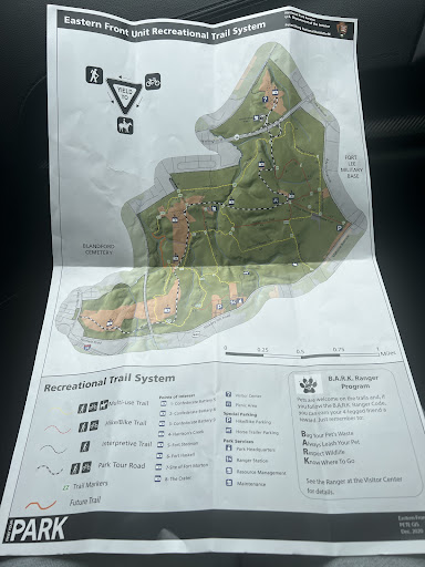
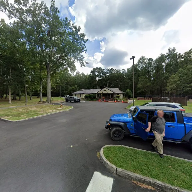
Petersburg National Battlefield Park Trailhead
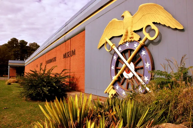
US Army Quartermaster Museum
US Army Women's Museum

Petersburg National Battlefield Park Trailhead
4.7
(131)
Open until 5:00 PM
Click for details
US Army Quartermaster Museum
4.7
(264)
Open until 12:00 AM
Click for details
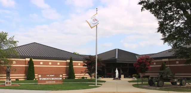
US Army Women's Museum
4.7
(146)
Open until 12:00 AM
Click for details
Nearby restaurants of Petersburg National Battlefield
36 Soul Food
Good Cooking "64"
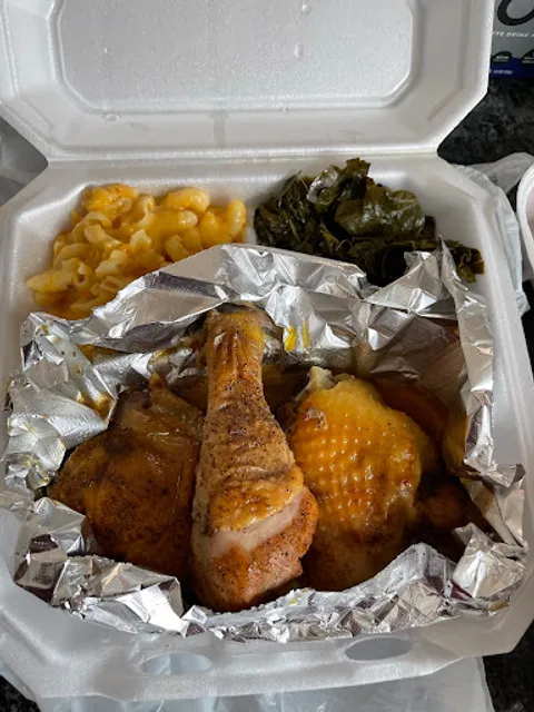
36 Soul Food
4.5
(41)
$
Open until 12:00 AM
Click for details
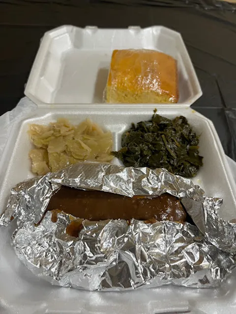
Good Cooking "64"
4.7
(20)
$
Click for details
Nearby local services of Petersburg National Battlefield
500 Gregg Ave
500 Gregg Ave
4.5
(166)
Click for details