Blue Mountain Loop things to do, attractions, restaurants, events info and trip planning
Basic Info
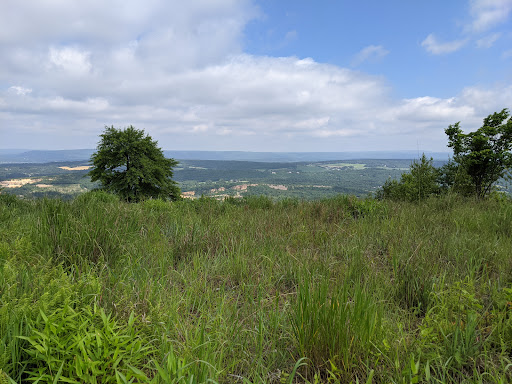
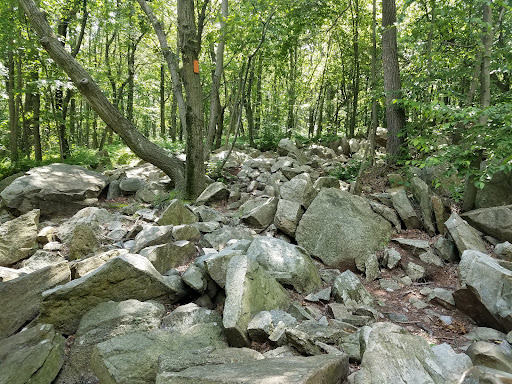
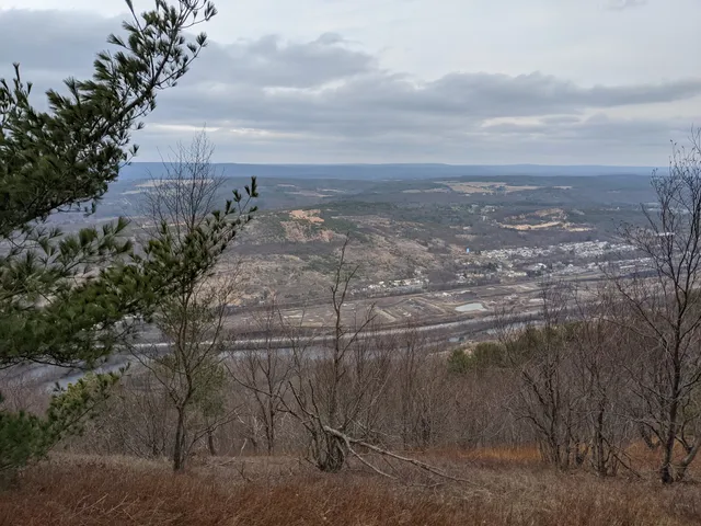
Blue Mountain Loop
Appalachian National Scenic Trail, Slatington, PA 18080
4.7(99)
Open until 11:00 PM
Save
spot
spot
Ratings & Description
Info
Outdoor
Adventure
Scenic
Pet friendly
Off the beaten path
attractions: Lehigh Gap Nature Center, Appalachian Trailhead at PA-248, restaurants: , local businesses: Lehigh Gap, George W. Outerbridge Shelter
Phone
(610) 509-2001
Open hoursSee all hours
Sat12 AM - 11 PMOpen
Plan your stay

Pet-friendly Hotels in Washington Township
Find a cozy hotel nearby and make it a full experience.

Affordable Hotels in Washington Township
Find a cozy hotel nearby and make it a full experience.

The Coolest Hotels You Haven't Heard Of (Yet)
Find a cozy hotel nearby and make it a full experience.

Trending Stays Worth the Hype in Washington Township
Find a cozy hotel nearby and make it a full experience.
Reviews
Live events

Storytime at PBS39
Tue, Feb 17 • 10:30 AM
839 Sesame Street Bethlehem, PA 18015
View details

Lunch with Lehigh Valley Medium
Sun, Feb 15 • 12:30 PM
1812 West Allen Street Allentown, PA 18104
View details

Baymele in Concert
Tue, Feb 17 • 7:00 PM
2400 West Chew Street Allentown, PA 18104
View details
Nearby attractions of Blue Mountain Loop
Lehigh Gap Nature Center
Appalachian Trailhead at PA-248

Lehigh Gap Nature Center
4.8
(206)
Open 24 hours
Click for details

Appalachian Trailhead at PA-248
4.9
(16)
Open until 12:00 AM
Click for details
Nearby local services of Blue Mountain Loop
Lehigh Gap
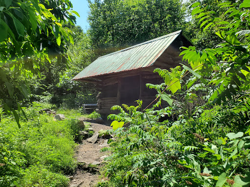
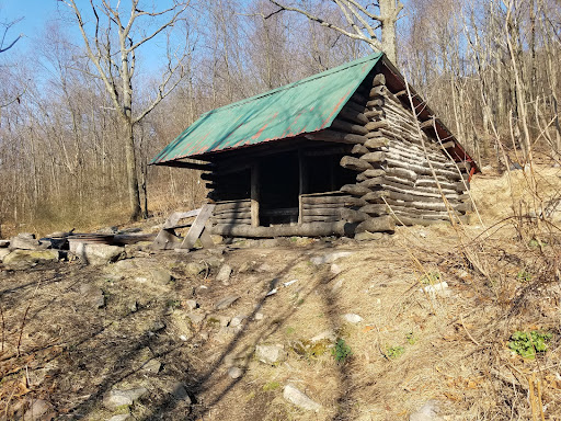
George W. Outerbridge Shelter

Lehigh Gap
4.8
(25)
Click for details
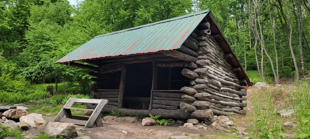
George W. Outerbridge Shelter
4.7
(12)
Click for details