Chesapeake and Ohio Canal things to do, attractions, restaurants, events info and trip planning

Basic Info
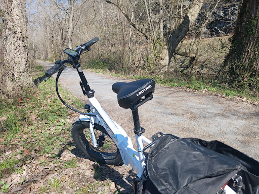
Chesapeake and Ohio Canal
United States
4.6(64)
Save
spot
spot
Ratings & Description
Info
Outdoor
Adventure
Scenic
Family friendly
Pet friendly
attractions: C&O Canal Lock 12, American Legion Memorial Bridge, restaurants: Fish Taco - Cabin John, Wild Tomato, Sal's Italian Kitchen, Market On The Boulevard, local businesses:
Plan your stay

Pet-friendly Hotels in McLean
Find a cozy hotel nearby and make it a full experience.

Affordable Hotels in McLean
Find a cozy hotel nearby and make it a full experience.

The Coolest Hotels You Haven't Heard Of (Yet)
Find a cozy hotel nearby and make it a full experience.

Trending Stays Worth the Hype in McLean
Find a cozy hotel nearby and make it a full experience.
Reviews
Live events

Marvel at the National Mall at night with a guide
Mon, Feb 16 • 7:00 PM
Washington, District of Columbia, 20001
View details

Dining in the Dark: A Unique Blindfolded Experience at Ambar Clarendon
Sun, Feb 22 • 6:00 PM
2901 Wilson Blvd, Arlington, 22201
View details

Uncover Georgetowns secret spy stories
Sat, Feb 21 • 1:00 PM
Washington, District of Columbia, 20007
View details
Nearby attractions of Chesapeake and Ohio Canal
C&O Canal Lock 12
American Legion Memorial Bridge
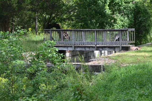
C&O Canal Lock 12
4.7
(13)
Open until 12:00 AM
Click for details

American Legion Memorial Bridge
2.9
(99)
Open until 12:00 AM
Click for details
Nearby restaurants of Chesapeake and Ohio Canal
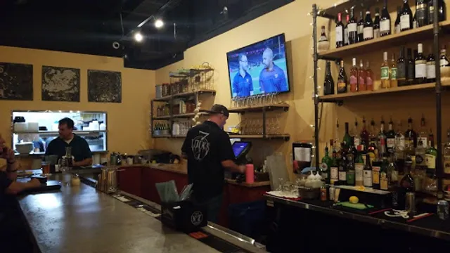
Fish Taco - Cabin John
Wild Tomato
Sal's Italian Kitchen
Market On The Boulevard
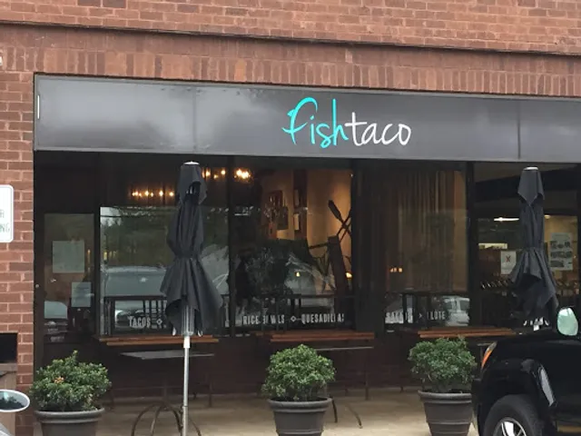
Fish Taco - Cabin John
4.6
(381)
$
Closed
Click for details

Wild Tomato
4.5
(165)
$$
Closed
Click for details
Sal's Italian Kitchen
4.6
(108)
$$
Closed
Click for details
Market On The Boulevard
4.2
(90)
$
Closed
Click for details