Sturtevant Falls things to do, attractions, restaurants, events info and trip planning
Basic Info
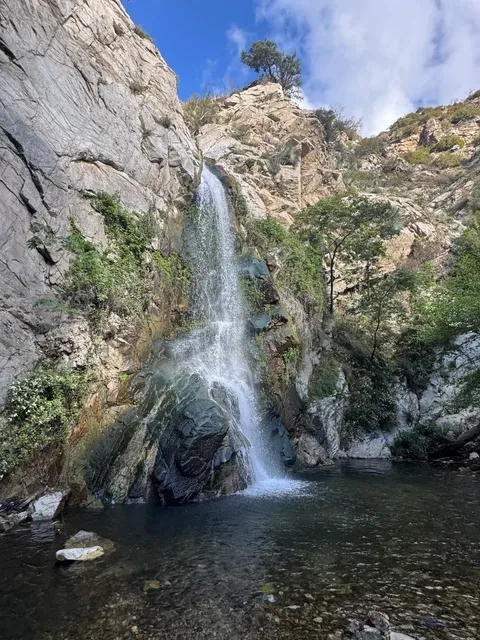
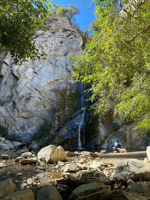
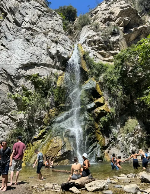
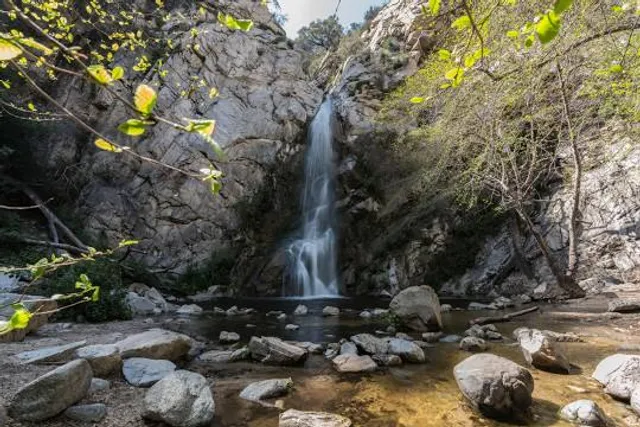
Sturtevant Falls
Santa Anita Wash, Sierra Madre, CA 91024
4.7(119)
Save
spot
spot
Ratings & Description
Info
Outdoor
Adventure
Scenic
Family friendly
Pet friendly
attractions: , restaurants: , local businesses: Sturtevant Falls, East Fork Santa Anita Canyon
Plan your stay

Pet-friendly Hotels in Sierra Madre
Find a cozy hotel nearby and make it a full experience.

Affordable Hotels in Sierra Madre
Find a cozy hotel nearby and make it a full experience.

The Coolest Hotels You Haven't Heard Of (Yet)
Find a cozy hotel nearby and make it a full experience.

Trending Stays Worth the Hype in Sierra Madre
Find a cozy hotel nearby and make it a full experience.
Reviews
Live events

Bubble Planet: An Immersive Experience in Los Angeles
Sat, Feb 7 • 9:30 AM
634 Mateo St. Los Angeles, CA, 90021
View details
The History and Architecture of Downtown LA
Sat, Feb 7 • 10:00 AM
Los Angeles, California, 90013
View details

Mindfulness Hike: Nature Walk & Journaling
Sat, Feb 7 • 10:30 AM
Los Angeles, California, 90027
View details
Nearby local services of Sturtevant Falls
Sturtevant Falls
East Fork Santa Anita Canyon
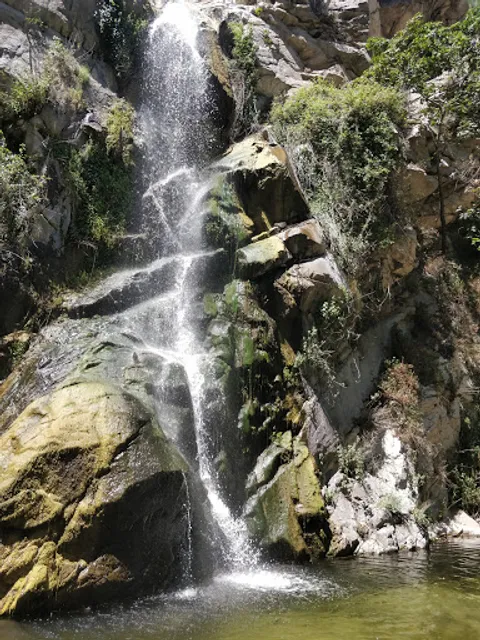
Sturtevant Falls
4.6
(112)
Click for details
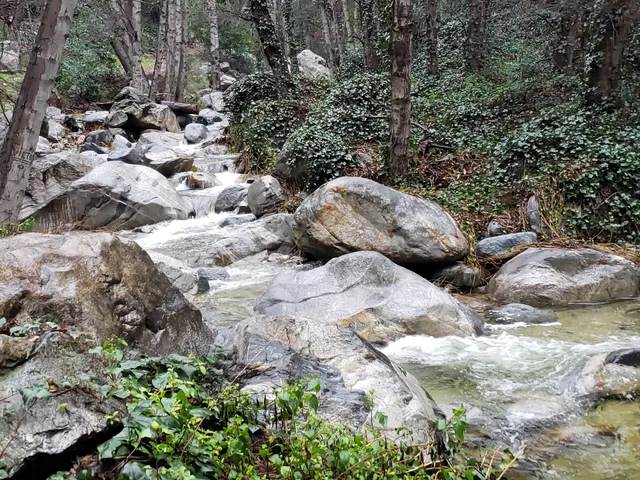
East Fork Santa Anita Canyon
4.7
(8)
Click for details