Proxy Falls things to do, attractions, restaurants, events info and trip planning
Basic Info
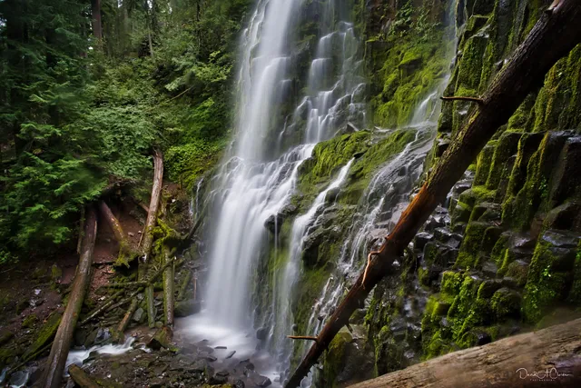
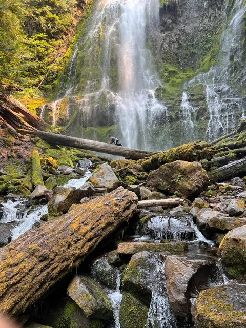
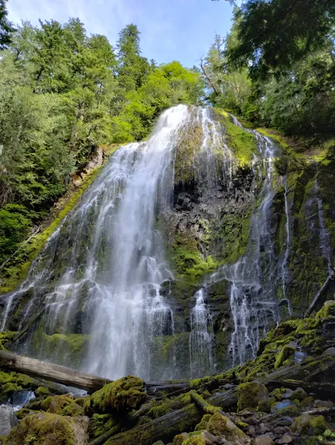
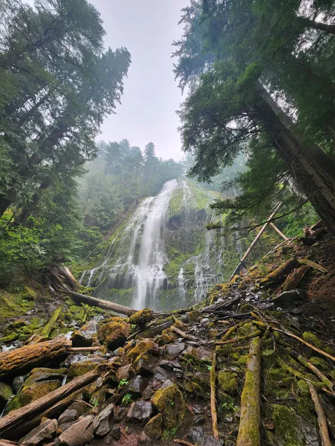
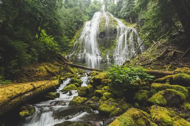
Proxy Falls
Oregon 97413, United States
4.8(73)
Save
spot
spot
Ratings & Description
Info
Outdoor
Adventure
Scenic
Family friendly
Pet friendly
Off the beaten path
attractions: Proxy Falls, Upper Proxy falls, Proxy Falls Trailhead, restaurants: , local businesses: Proxy Falls
Plan your stay

Pet-friendly Hotels in Sisters
Find a cozy hotel nearby and make it a full experience.

Affordable Hotels in Sisters
Find a cozy hotel nearby and make it a full experience.

The Coolest Hotels You Haven't Heard Of (Yet)
Find a cozy hotel nearby and make it a full experience.

Trending Stays Worth the Hype in Sisters
Find a cozy hotel nearby and make it a full experience.
Reviews
Live events

A Fresh Start: The Reset ✨ A Community Gong Bath✨
Sat, Feb 21 • 2:15 PM
54745 McKenzie River Drive McKenzie Bridge, OR 97413
View details

Breakfast Club
Tue, Feb 24 • 6:30 AM
. Bend, OR 97703
View details
Nearby attractions of Proxy Falls
Proxy Falls
Upper Proxy falls
Proxy Falls Trailhead
Proxy Falls
4.9
(53)
Open until 12:00 AM
Click for details
Upper Proxy falls
5.0
(5)
Open 24 hours
Click for details
Proxy Falls Trailhead
4.9
(41)
Open 24 hours
Click for details
Nearby local services of Proxy Falls
Proxy Falls
Proxy Falls
4.8
(57)
Click for details