Waterrock Knob things to do, attractions, restaurants, events info and trip planning

Basic Info
Waterrock Knob
North Carolina 28779, United States
4.9(202)
Save
spot
spot
Ratings & Description
Info
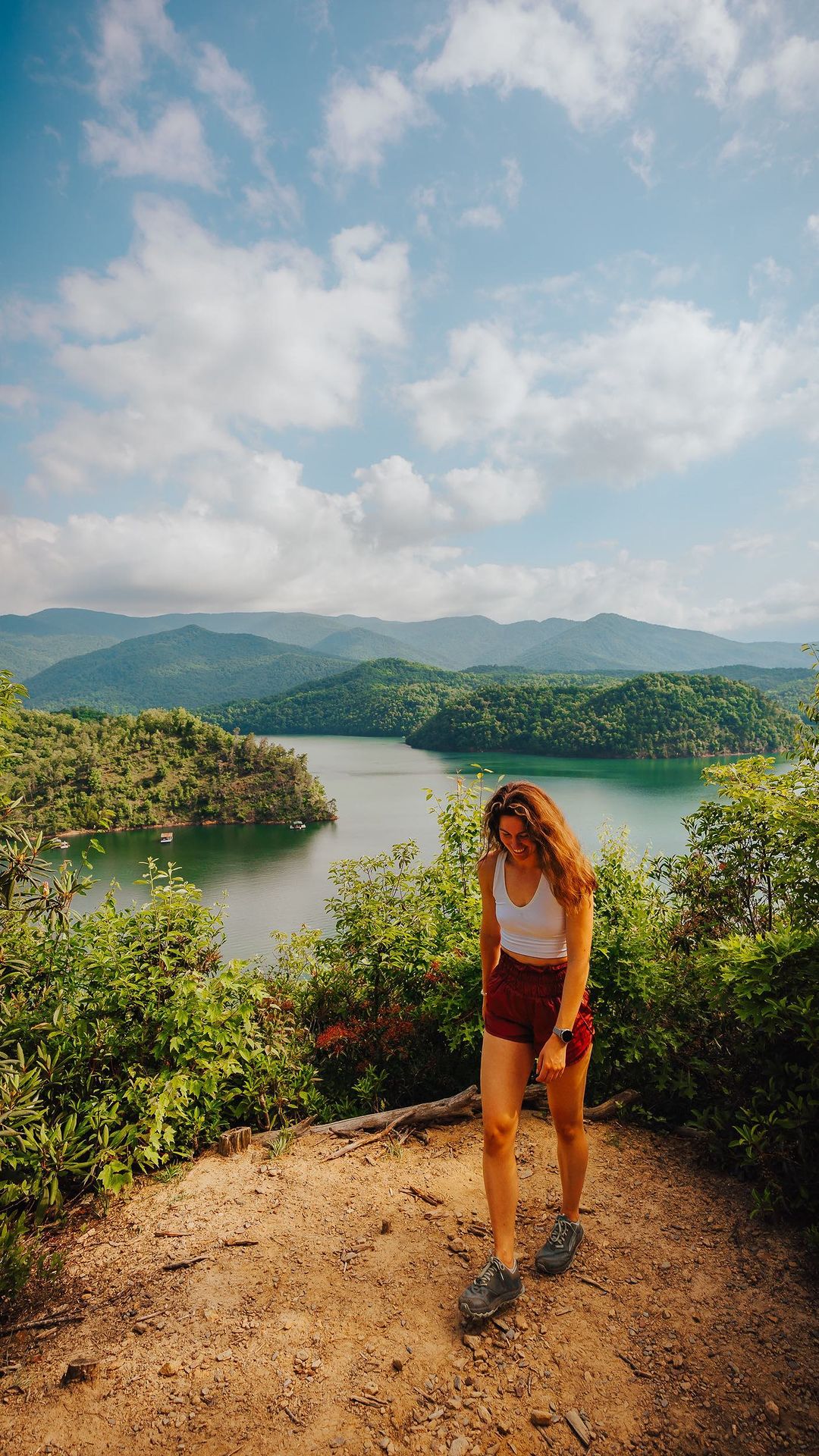
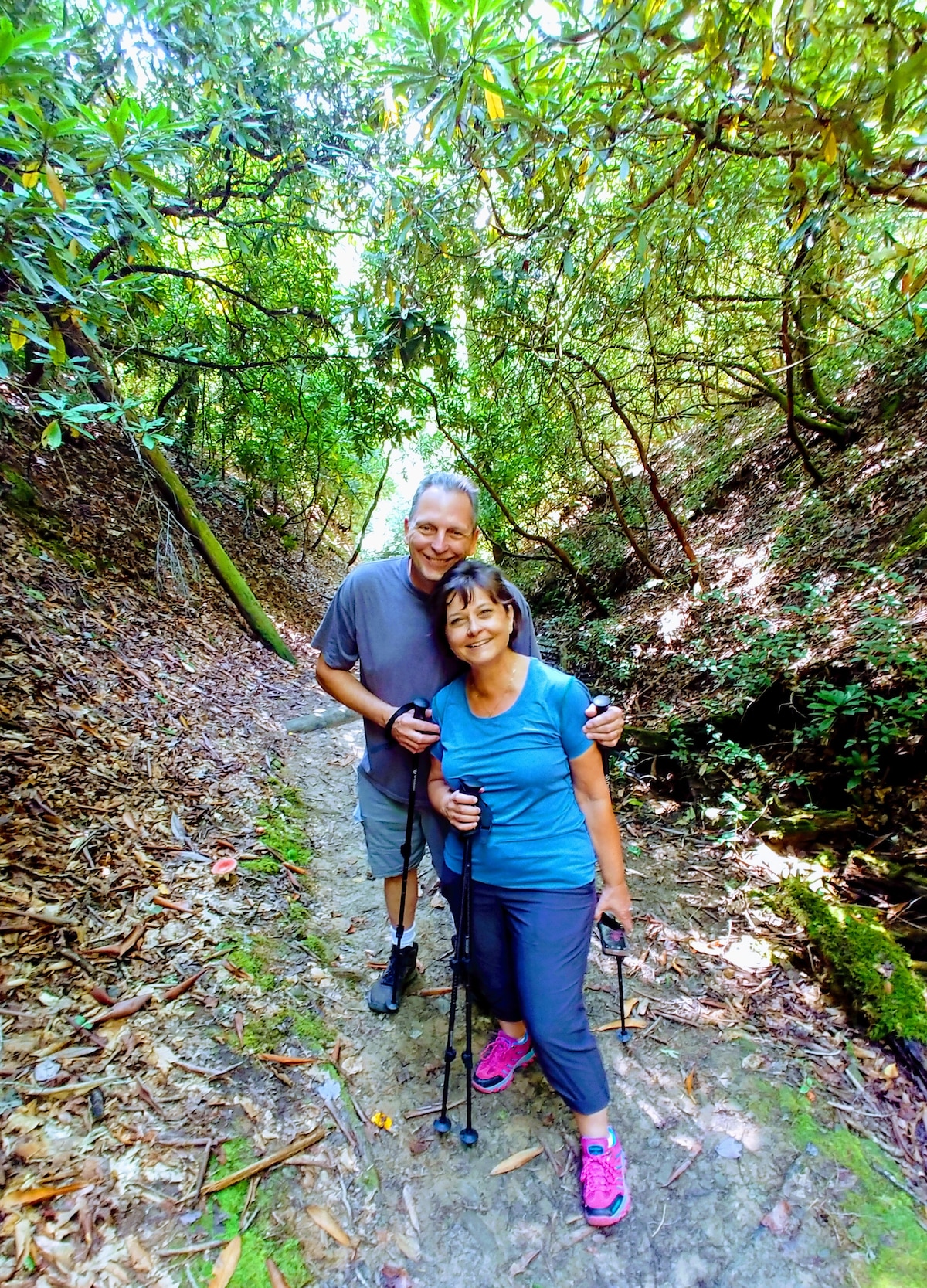
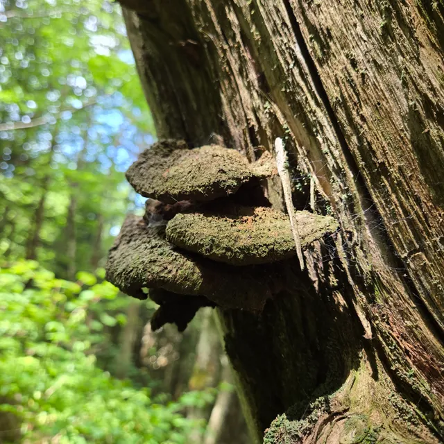
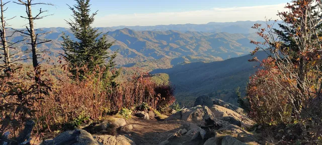
Waterrock Knob is a mountain peak in the U.S. state of North Carolina. It is the highest peak in the Plott Balsams and is the 16th-highest mountain in the Eastern United States. The mountain is a popular destination with tourists and amateur hikers, as it is easily accessible from the Blue Ridge Parkway.
Outdoor
Scenic
Adventure
Family friendly
Picnic friendly
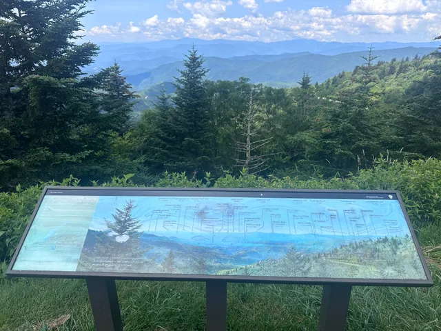
attractions: Waterrock Knob Visitor Center, Woolyback Overlook, Waterrock Knob Trail, Waterrock Knob, Yellow Face Overlook, WATERROCK KNOB OVERLOOK, restaurants: , local businesses: Browning Knob Overlook
Plan your stay

Pet-friendly Hotels in Wolftown Community
Find a cozy hotel nearby and make it a full experience.

Affordable Hotels in Wolftown Community
Find a cozy hotel nearby and make it a full experience.

The Coolest Hotels You Haven't Heard Of (Yet)
Find a cozy hotel nearby and make it a full experience.

Trending Stays Worth the Hype in Wolftown Community
Find a cozy hotel nearby and make it a full experience.
Reviews
Live events
Guided Waterfalls Hike in the Smokies
Tue, Jan 27 • 8:30 AM
Bryson City, North Carolina, 28713
View details

Cherokee History Tour- In a way the books won’t ever tell
Tue, Jan 27 • 8:00 AM
25 Big Cove Road, Cherokee, NC 28719
View details

Paint & Sip - Bryson City NC
Tue, Jan 27 • 6:00 PM
Mountain Layers Brewing Company, 90 Everett St, Bryson City, NC 28713-0930, United States
View details
Nearby attractions of Waterrock Knob
Waterrock Knob Visitor Center
Woolyback Overlook
Waterrock Knob Trail
Waterrock Knob
Yellow Face Overlook
WATERROCK KNOB OVERLOOK
Waterrock Knob Visitor Center
4.8
(908)
Closed
Click for details
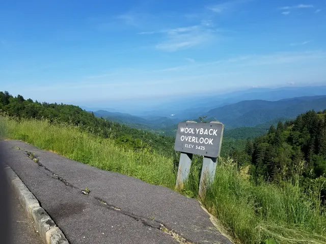
Woolyback Overlook
4.9
(143)
Open 24 hours
Click for details
Waterrock Knob Trail
5.0
(3)
Open 24 hours
Click for details
Waterrock Knob
4.9
(22)
Open 24 hours
Click for details
Nearby local services of Waterrock Knob
Browning Knob Overlook
Browning Knob Overlook
4.8
(41)
Click for details