Inukai-jō Castle Ruins things to do, attractions, restaurants, events info and trip planning
Basic Info
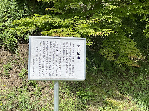
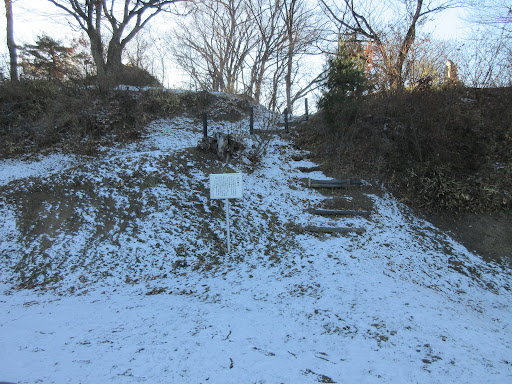
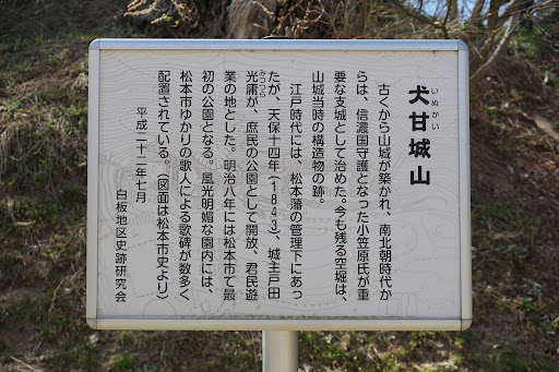
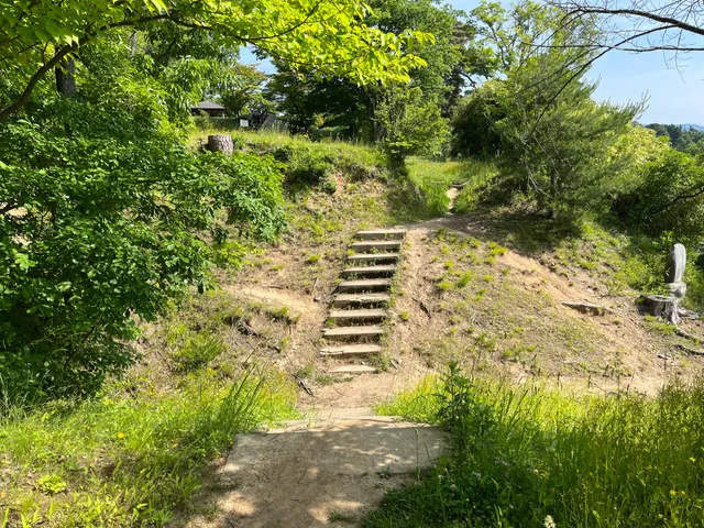
Inukai-jō Castle Ruins
Arigasaki, Matsumoto, Nagano 390-0861, Japan
3.9(18)
Open until 12:00 AM
Save
spot
spot
Ratings & Description
Info
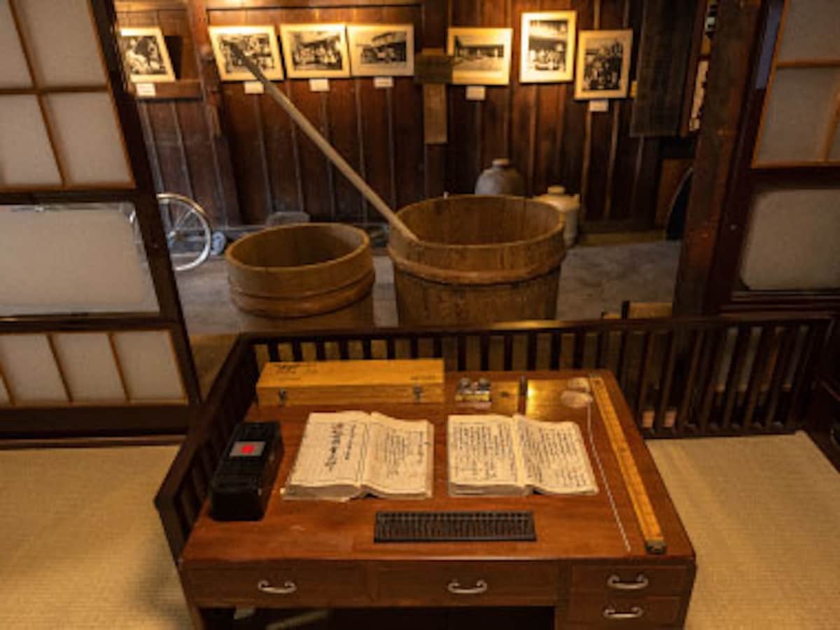
Cultural
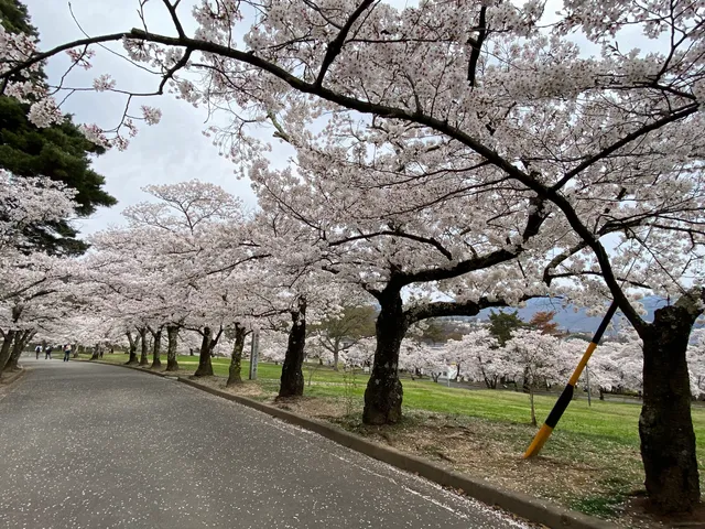
Outdoor
Scenic
Pet friendly
attractions: Joyama Park, restaurants: ギャラリー&カフェ憩の森, 南欧料理おおいし, 松葉家, Maison de Yoshida, Daikan Yama, monkava, 明松館, Sushi Otaki Sohonten, 十二食堂, Atelier du blé, local businesses: Victoriancraft, Apina Bowl Matsumoto Shiroyama, Edge & Sofa
Open hoursSee all hours
ThuOpen 24 hoursOpen
Plan your stay

Pet-friendly Hotels in Matsumoto
Find a cozy hotel nearby and make it a full experience.

Affordable Hotels in Matsumoto
Find a cozy hotel nearby and make it a full experience.

The Coolest Hotels You Haven't Heard Of (Yet)
Find a cozy hotel nearby and make it a full experience.

Trending Stays Worth the Hype in Matsumoto
Find a cozy hotel nearby and make it a full experience.
Reviews
Live events
Experience at Kamedaya Sake Brewery Sake tasting & brewery tour
Sat, Feb 14 • 9:00 AM
390-0852, Nagano, Matsumoto, Japan
View details
Nearby attractions of Inukai-jō Castle Ruins
Joyama Park
Joyama Park
4.2
(273)
Open until 12:00 AM
Click for details
Nearby restaurants of Inukai-jō Castle Ruins
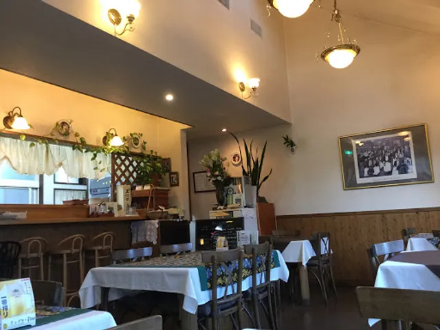
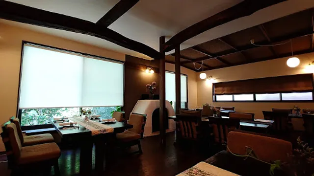
ギャラリー&カフェ憩の森
南欧料理おおいし
松葉家
Maison de Yoshida
Daikan Yama
monkava
明松館
Sushi Otaki Sohonten
十二食堂
Atelier du blé
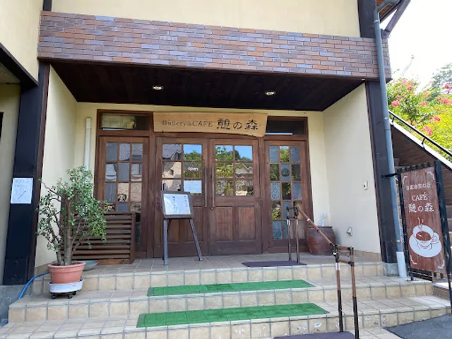
ギャラリー&カフェ憩の森
4.3
(51)
Open until 12:00 AM
Click for details
南欧料理おおいし
4.6
(71)
$$
Open until 12:00 AM
Click for details
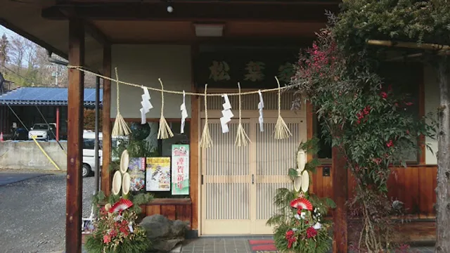
松葉家
4.5
(36)
$
Click for details
Maison de Yoshida
4.4
(41)
$$
Open until 9:00 PM
Click for details
Nearby local services of Inukai-jō Castle Ruins
Victoriancraft
Apina Bowl Matsumoto Shiroyama
Edge & Sofa
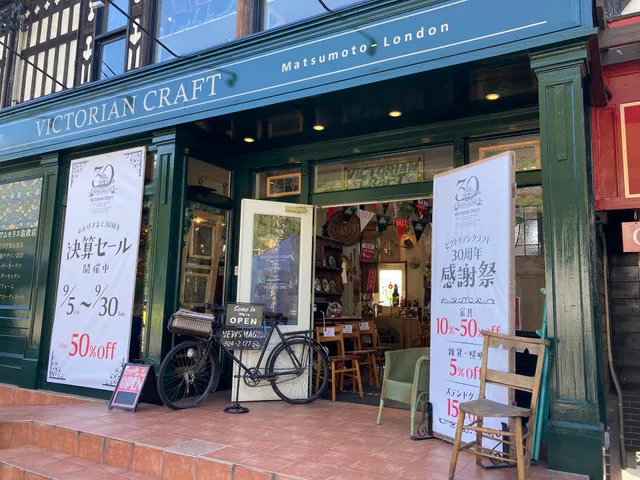
Victoriancraft
4.1
(129)
Click for details
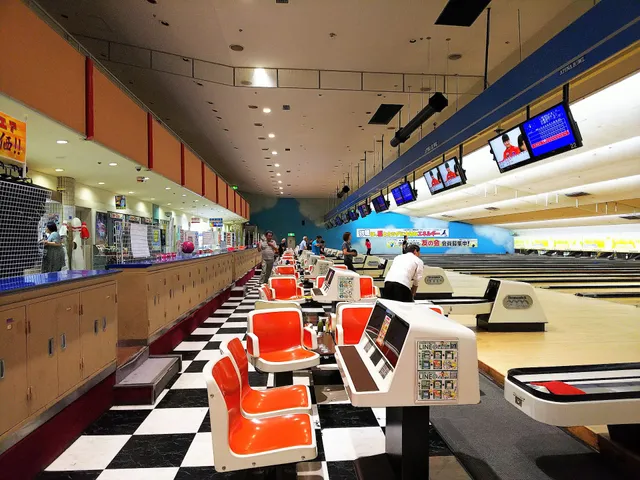
Apina Bowl Matsumoto Shiroyama
3.6
(95)
Click for details
Edge & Sofa
4.3
(63)
Click for details