नारायणी नदी किनार things to do, attractions, restaurants, events info and trip planning
Basic Info
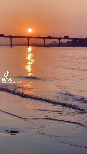
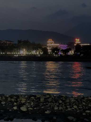
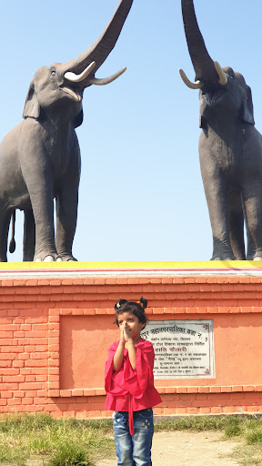
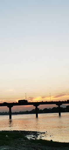
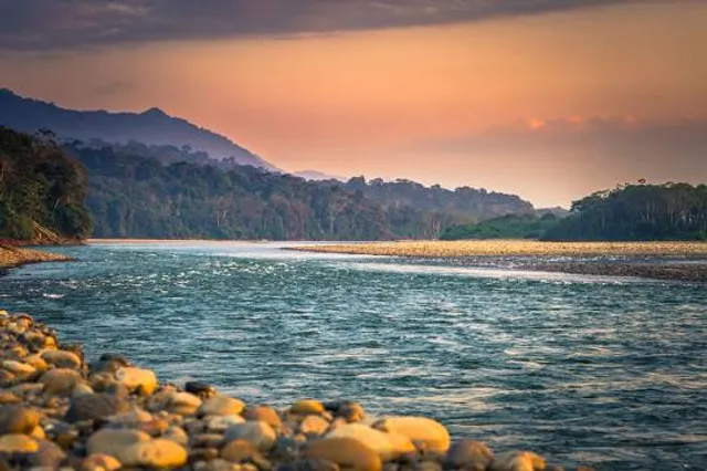
नारायणी नदी किनार
PC2F+7MF, Bharatpur 44200, Nepal
4.4(90)
Closed
Save
spot
spot
Ratings & Description
Info
Outdoor
Scenic
Relaxation
Family friendly
Pet friendly
attractions: , restaurants: Hungry Tom, Narayani Beach Cafe, Bhetghat Restaurant, CHULHO, Brixton Restaurant and Rock Bar, Tashi delek, Biryani Halaal Food Family Restaurant, Ram Misthan Bhandar (Best & Top Sweet Shop | Traditional Sweet In Chitwan), Sherchan Thakali Chulo and Restaurant, Jamghat Restaurant(जमघट रेस्टुरेन्ट), local businesses:
Phone
+977 985-5018618
Website
visitbharatpur.com
Open hoursSee all hours
Fri7 am - 8 pmClosed
Plan your stay

Pet-friendly Hotels in Bharatpur
Find a cozy hotel nearby and make it a full experience.

Affordable Hotels in Bharatpur
Find a cozy hotel nearby and make it a full experience.

The Coolest Hotels You Haven't Heard Of (Yet)
Find a cozy hotel nearby and make it a full experience.

Trending Stays Worth the Hype in Bharatpur
Find a cozy hotel nearby and make it a full experience.
Reviews
Live events
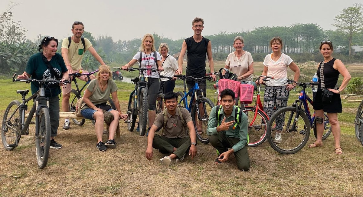
Cycle Chitwans Rice Fields & Tharu Villages
Fri, Feb 13 • 7:30 AM
Ratnanagar, Bagmati Province 44200, Nepal
View details
Nearby restaurants of नारायणी नदी किनार
Hungry Tom
Narayani Beach Cafe
Bhetghat Restaurant
CHULHO
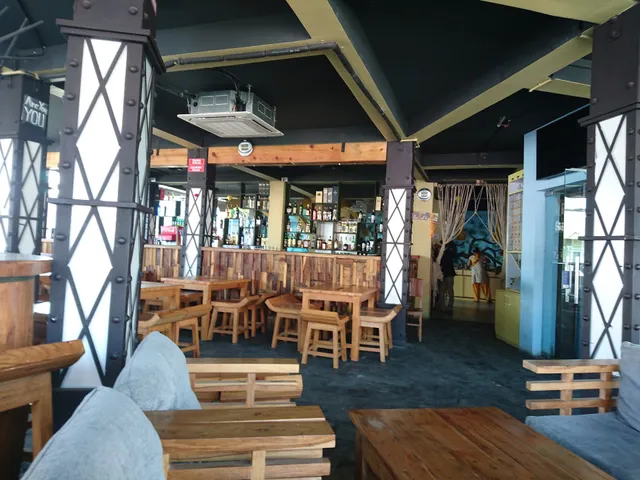
Brixton Restaurant and Rock Bar
Tashi delek
Biryani Halaal Food Family Restaurant
Ram Misthan Bhandar (Best & Top Sweet Shop | Traditional Sweet In Chitwan)
Sherchan Thakali Chulo and Restaurant
Jamghat Restaurant(जमघट रेस्टुरेन्ट)
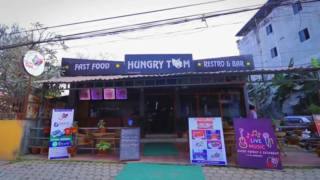
Hungry Tom
4.1
(248)
Closed
Click for details
Narayani Beach Cafe
3.9
(35)
Closed
Click for details
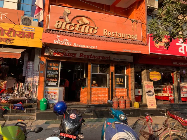
Bhetghat Restaurant
3.8
(742)
Closed
Click for details
CHULHO
3.8
(240)
Closed
Click for details