Nid D’Aigles (Eagle’s Nest) things to do, attractions, restaurants, events info and trip planning

Basic Info
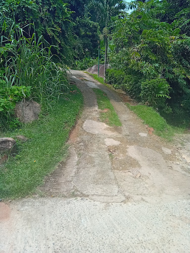
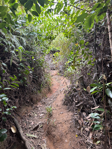
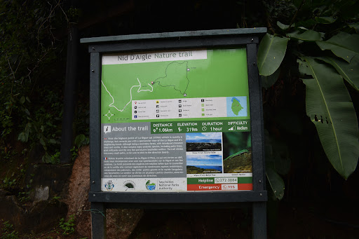
Nid D’Aigles (Eagle’s Nest)
JRWV+R5G, Anse Reunion, Seychelles
4.3(40)
Open 24 hours
Save
spot
spot
Ratings & Description
Info
Outdoor
Adventure
Scenic
attractions: Nid d'Aigle, restaurants: Chez Jules Restaurant, Belle Vue Snack Bar, local businesses: La Digue
Plan your stay

Pet-friendly Hotels in La Digue
Find a cozy hotel nearby and make it a full experience.

Affordable Hotels in La Digue
Find a cozy hotel nearby and make it a full experience.

The Coolest Hotels You Haven't Heard Of (Yet)
Find a cozy hotel nearby and make it a full experience.

Trending Stays Worth the Hype in La Digue
Find a cozy hotel nearby and make it a full experience.
Reviews
Nearby attractions of Nid D’Aigles (Eagle’s Nest)
Nid d'Aigle

Nid d'Aigle
4.2
(52)
Open 24 hours
Click for details
Nearby restaurants of Nid D’Aigles (Eagle’s Nest)
Chez Jules Restaurant
Belle Vue Snack Bar

Chez Jules Restaurant
4.3
(492)
$$$
Open until 8:00 PM
Click for details
Belle Vue Snack Bar
4.1
(318)
Open until 9:00 PM
Click for details
Nearby local services of Nid D’Aigles (Eagle’s Nest)
La Digue

La Digue
4.7
(296)
Click for details