Lycian Way Trail things to do, attractions, restaurants, events info and trip planning
Basic Info
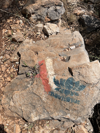
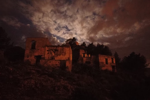
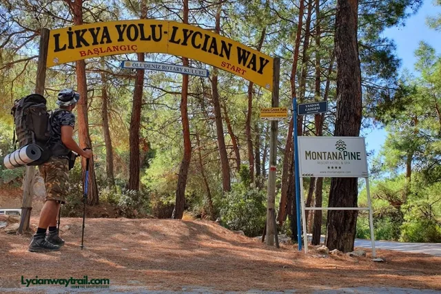
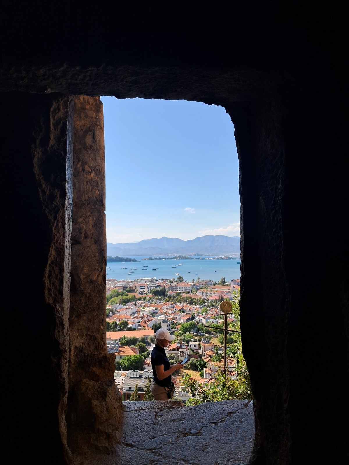
Lycian Way Trail
Ölüdeniz, 48340 Fethiye/Muğla, Türkiye
4.8(258)
Open until 12:00 AM
Save
spot
spot
Ratings & Description
Info
Outdoor
Adventure
Scenic
Off the beaten path
Pet friendly
attractions: , restaurants: Barracuda Restaurant Wine & Grill Bar, local businesses:
Phone
+90 501 150 48 07
Website
lycianwaytrail.com
Open hoursSee all hours
TueOpen 24 hoursOpen
Plan your stay

Pet-friendly Hotels in Fethiye
Find a cozy hotel nearby and make it a full experience.

Affordable Hotels in Fethiye
Find a cozy hotel nearby and make it a full experience.

The Coolest Hotels You Haven't Heard Of (Yet)
Find a cozy hotel nearby and make it a full experience.

Trending Stays Worth the Hype in Fethiye
Find a cozy hotel nearby and make it a full experience.
Reviews
Live events
Fethiye Highlights Day Tour
Tue, Feb 10 • 10:00 AM
48303, Fethiye, Muğla, Turkey
View details
Nearby restaurants of Lycian Way Trail
Barracuda Restaurant Wine & Grill Bar

Barracuda Restaurant Wine & Grill Bar
4.6
(226)
Closed
Click for details