Rock Springs Trailhead things to do, attractions, restaurants, events info and trip planning
Basic Info
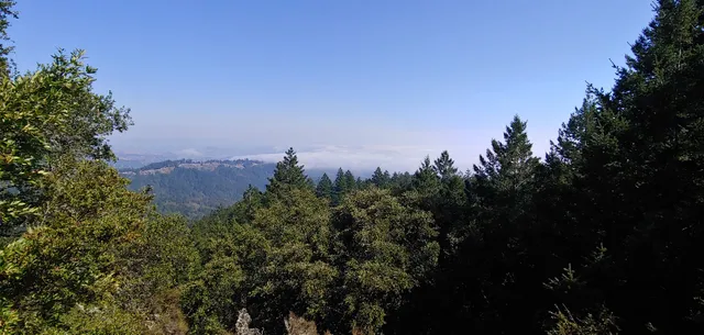
Rock Springs Trailhead
W Ridgecrest Blvd, Stinson Beach, CA 94970
4.8(144)
Open until 12:00 AM
Save
spot
spot
Ratings & Description
Info
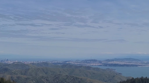
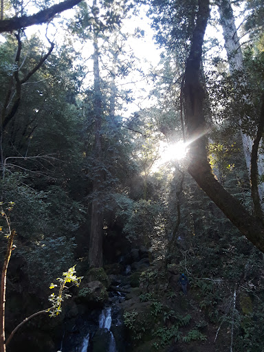
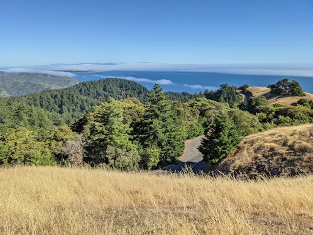
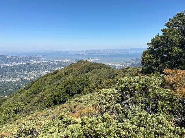
Outdoor
Adventure
Scenic
Pet friendly
Off the beaten path
attractions: Old mine trailhead, Cushing Memorial Amphitheater, Trojan Point, Trojan point parking, O’Rourke’s Bench, Scenic Overlook, Old mine trailhead, restaurants: , local businesses: Forbes Bench, Trojan Point, Scenic View
Open hoursSee all hours
SunOpen 24 hoursOpen
Plan your stay

Pet-friendly Hotels in Mill Valley
Find a cozy hotel nearby and make it a full experience.

Affordable Hotels in Mill Valley
Find a cozy hotel nearby and make it a full experience.

The Coolest Hotels You Haven't Heard Of (Yet)
Find a cozy hotel nearby and make it a full experience.

Trending Stays Worth the Hype in Mill Valley
Find a cozy hotel nearby and make it a full experience.
Reviews
Live events

AURA: An Immersive Odyssey of Breathtaking Proportions
Sun, Feb 8 • 8:00 PM
1100 California St, San Francisco, CA, 94108
View details

Wilderness First Aid with CPR and AED (SOLO Certification)
Sat, Feb 7 • 8:00 AM
1100 James Place, El Cerrito, CA 94530
View details

Mahjong at the Mart!
Sun, Feb 8 • 11:00 AM
2257 Larkspur Landing Circle Larkspur, CA 94939
View details
Nearby attractions of Rock Springs Trailhead
Old mine trailhead
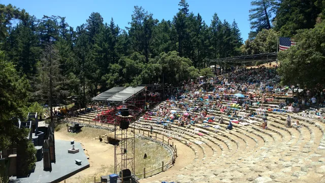
Cushing Memorial Amphitheater
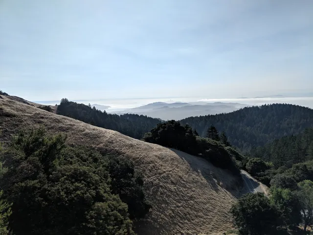
Trojan Point
Trojan point parking
O’Rourke’s Bench
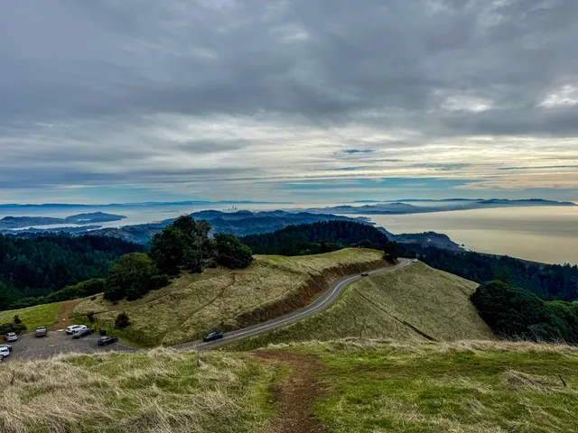
Scenic Overlook
Old mine trailhead
Old mine trailhead
5.0
(2)
Open 24 hours
Click for details
Cushing Memorial Amphitheater
4.7
(59)
Open 24 hours
Click for details

Trojan Point
4.9
(161)
Open 24 hours
Click for details
Trojan point parking
4.5
(7)
Open 24 hours
Click for details
Nearby local services of Rock Springs Trailhead
Forbes Bench
Trojan Point
Scenic View
Forbes Bench
4.7
(5)
Click for details
Trojan Point
5.0
(6)
Click for details
Scenic View
4.8
(3)
Click for details