Peters Canyon North Trailhead things to do, attractions, restaurants, events info and trip planning
Basic Info
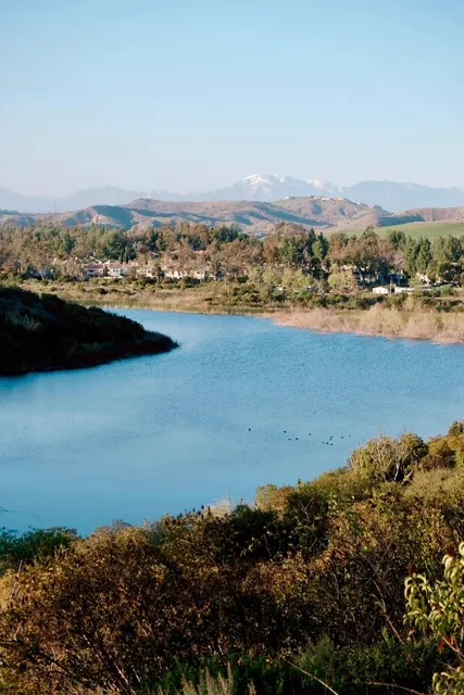
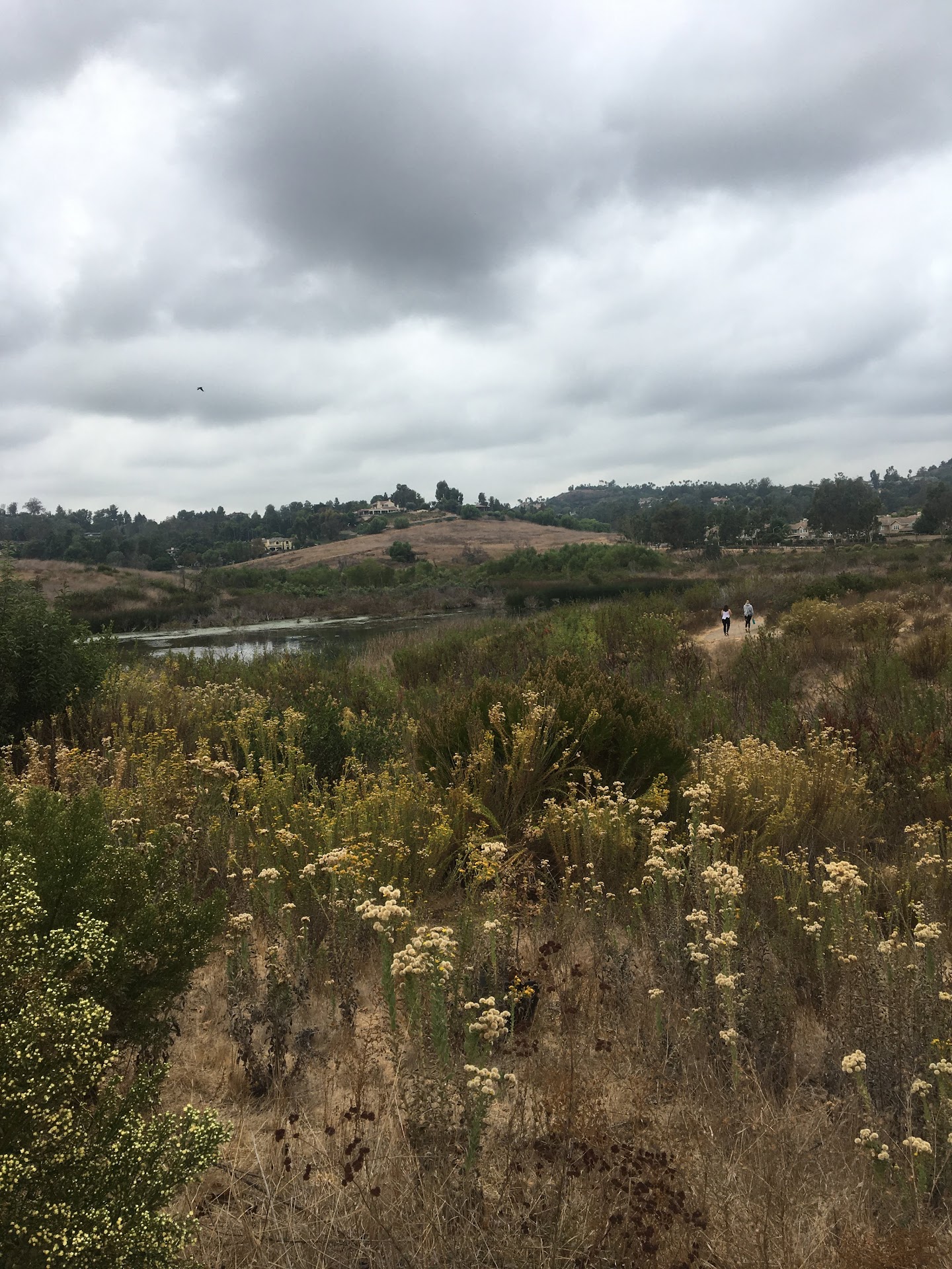
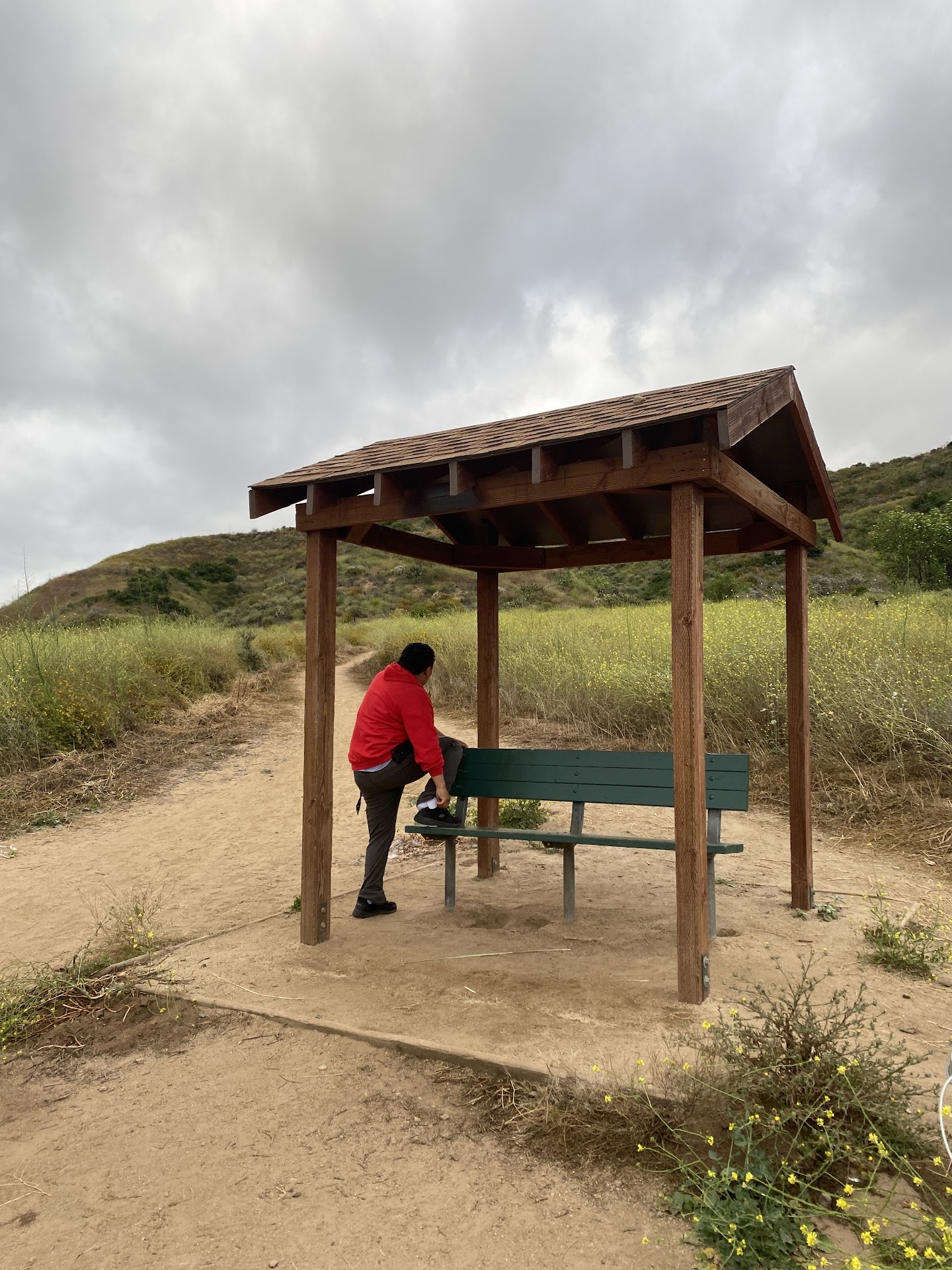
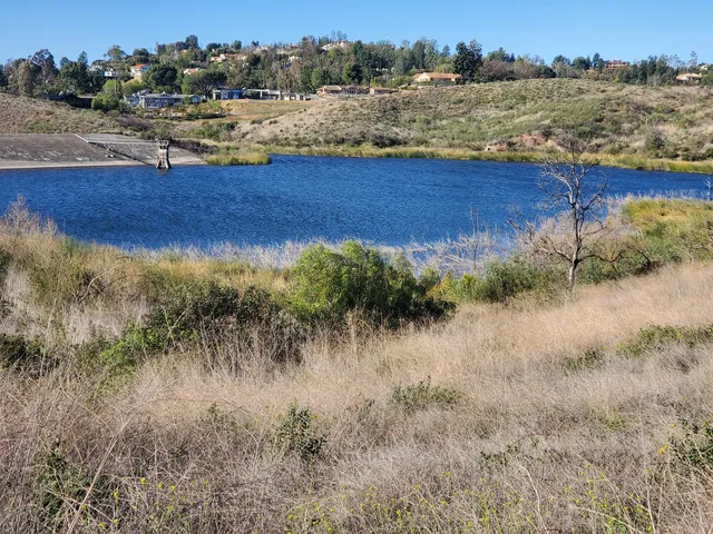
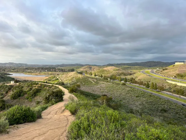
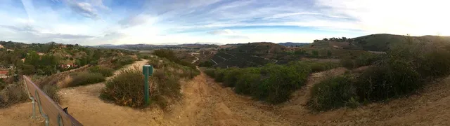
Peters Canyon North Trailhead
8548 Canyon View Ave, Orange, CA 92869
4.7(1.0K)
Open 24 hours
Save
spot
spot
Ratings & Description
Info
Outdoor
Adventure
Pet friendly
attractions: Peters Canyon Regional Park, Peters Canyon Reservoir, Santiago Hills Park, restaurants: CJ Coffee House, Chen's Panda Chinese Restaurant, Taco Bell, John's Place, Aroma & Sabor Cafe, Brava Cucina, Starbucks, local businesses: Peters Canyon Regional Park, Fitness Of America
Phone
(714) 973-6611
Website
ocparks.com
Plan your stay

Pet-friendly Hotels in Orange
Find a cozy hotel nearby and make it a full experience.

Affordable Hotels in Orange
Find a cozy hotel nearby and make it a full experience.

The Coolest Hotels You Haven't Heard Of (Yet)
Find a cozy hotel nearby and make it a full experience.

Trending Stays Worth the Hype in Orange
Find a cozy hotel nearby and make it a full experience.
Reviews
Live events

Galentine’s Sip & Paint: Classic 90s + 2000s Throwbacks
Thu, Feb 12 • 7:00 PM
1759 South Claudina Way Anaheim, CA 92805
View details

Battle of the Bands
Thu, Feb 12 • 7:30 PM
28000 Marguerite Parkway Mission Viejo, CA 92692
View details

Feb 13th!! WOMEN POWER!
Fri, Feb 13 • 9:00 PM
12414 East Carson Street Hawaiian Gardens, CA 90716
View details
Nearby attractions of Peters Canyon North Trailhead
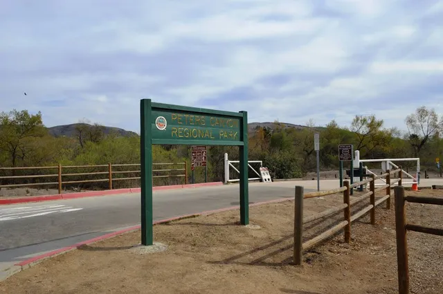
Peters Canyon Regional Park
Peters Canyon Reservoir
Santiago Hills Park
Peters Canyon Regional Park
4.7
(29)
Open 24 hours
Click for details
Peters Canyon Reservoir
4.5
(41)
Open 24 hours
Click for details
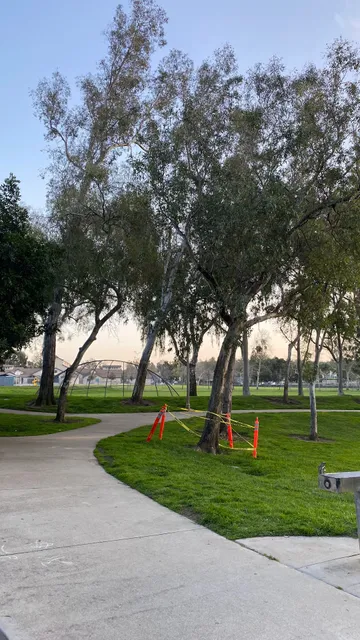
Santiago Hills Park
4.6
(197)
Open until 11:00 PM
Click for details
Nearby restaurants of Peters Canyon North Trailhead
CJ Coffee House
Chen's Panda Chinese Restaurant
Taco Bell
John's Place
Aroma & Sabor Cafe
Brava Cucina
Starbucks

CJ Coffee House
4.3
(82)
$
Closed
Click for details

Chen's Panda Chinese Restaurant
4.6
(122)
$
Open until 8:30 PM
Click for details
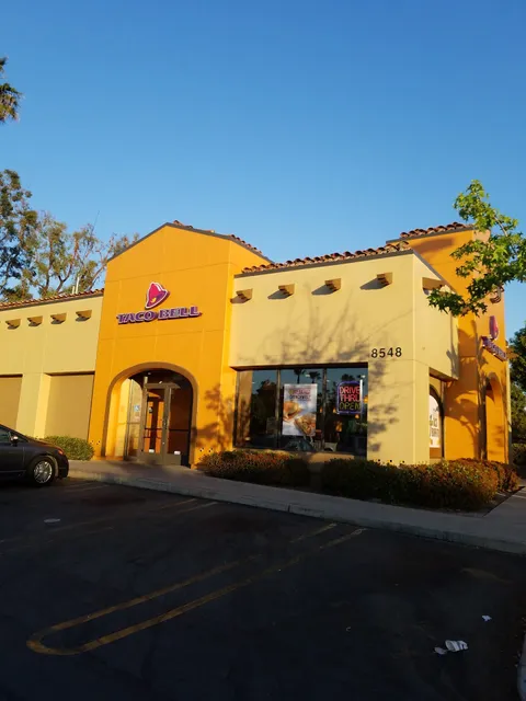
Taco Bell
4.0
(227)
$
Open until 11:00 PM
Click for details
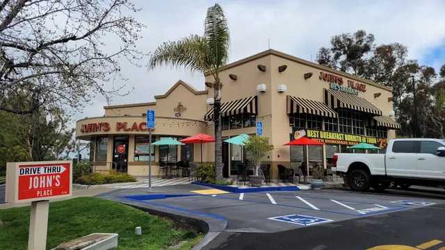
John's Place
4.2
(442)
$
Open until 9:00 PM
Click for details
Nearby local services of Peters Canyon North Trailhead
Peters Canyon Regional Park
Fitness Of America
Peters Canyon Regional Park
4.7
(15)
Click for details
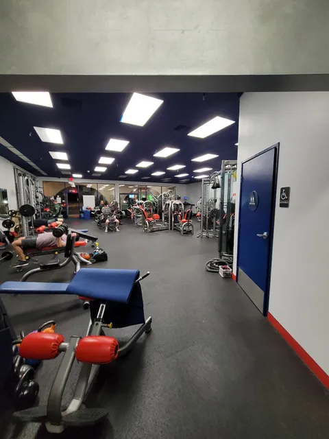
Fitness Of America
4.8
(13)
Click for details