Piestewa Peak Trails things to do, attractions, restaurants, events info and trip planning

Basic Info
Piestewa Peak Trails
7232 Piestewa Peak Dr #7200, Phoenix, AZ 85016
4.8(159)
Open 24 hours
Save
spot
spot
Ratings & Description
Info
Outdoor
Adventure
Scenic
Family friendly
Pet friendly
attractions: Piestewa Peak Park, Piestewa Peak Trailhead, Piestewa Peak, Piestewa Peak Summit Trail #300, restaurants: , local businesses: Piestewa Peak
Phone
(602) 495-5458
Website
phoenix.gov
Plan your stay

Pet-friendly Hotels in Phoenix
Find a cozy hotel nearby and make it a full experience.

Affordable Hotels in Phoenix
Find a cozy hotel nearby and make it a full experience.

The Coolest Hotels You Haven't Heard Of (Yet)
Find a cozy hotel nearby and make it a full experience.

Trending Stays Worth the Hype in Phoenix
Find a cozy hotel nearby and make it a full experience.
Reviews
Live events
Day-trip to Sedona and the Grand Canyon
Sun, Feb 15 • 7:00 AM
Phoenix, Arizona, 85004
View details

DoorKeepers of Revival Intensive
Tue, Feb 10 • 8:00 AM
14185 North 83rd Avenue Peoria, AZ 85381
View details

Galentines with Reformed Pilates x lululemon
Thu, Feb 12 • 5:00 PM
2000 East Rio Salado Parkway #Suite 1013 Tempe, AZ 85281
View details
Nearby attractions of Piestewa Peak Trails
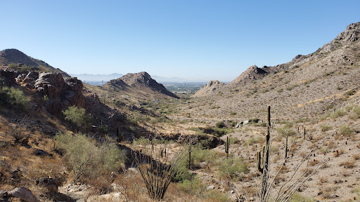
Piestewa Peak Park
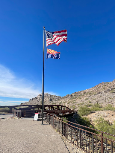
Piestewa Peak Trailhead
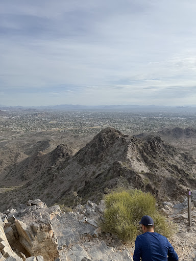
Piestewa Peak
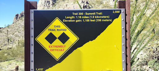
Piestewa Peak Summit Trail #300

Piestewa Peak Park
4.8
(1.4K)
Open until 7:00 PM
Click for details

Piestewa Peak Trailhead
4.9
(381)
Open until 7:00 PM
Click for details

Piestewa Peak
4.8
(75)
Open 24 hours
Click for details

Piestewa Peak Summit Trail #300
4.7
(49)
Open until 11:00 PM
Click for details
Nearby local services of Piestewa Peak Trails
Piestewa Peak

Piestewa Peak
4.8
(289)
Click for details