Indreni Bridge things to do, attractions, restaurants, events info and trip planning
Basic Info
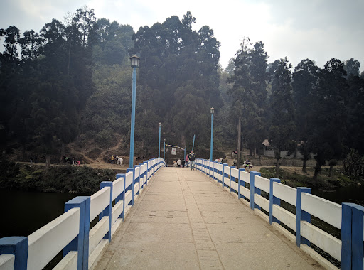
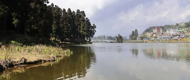
Indreni Bridge
Sumendu Lake, Mirik, West Bengal 734214, 734214, India
4.3(80)
Save
spot
spot
Ratings & Description
Info
Outdoor
Scenic
Family friendly
attractions: Sumendu Lake, Bokar Ngedhon Choekhor Ling Monastery, Don Bosco Church, restaurants: Tea by the Lake, Premium Goodricke tea lounge., Hotel Lohit Sagar, Nesang's Gorkha cafe & restaurant, local businesses:
Plan your stay

Pet-friendly Hotels in West Bengal
Find a cozy hotel nearby and make it a full experience.

Affordable Hotels in West Bengal
Find a cozy hotel nearby and make it a full experience.

The Coolest Hotels You Haven't Heard Of (Yet)
Find a cozy hotel nearby and make it a full experience.

Trending Stays Worth the Hype in West Bengal
Find a cozy hotel nearby and make it a full experience.
Reviews
Nearby attractions of Indreni Bridge
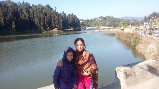
Sumendu Lake
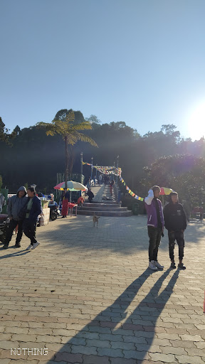
Bokar Ngedhon Choekhor Ling Monastery
Don Bosco Church
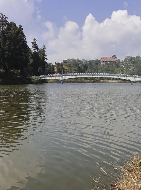
Sumendu Lake
4.4
(1.2K)
Open 24 hours
Click for details
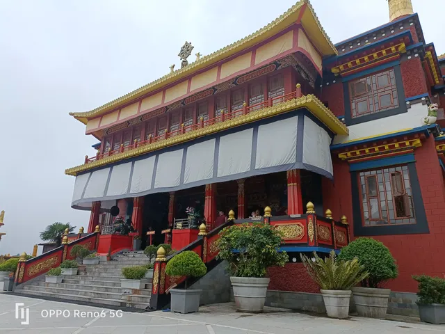
Bokar Ngedhon Choekhor Ling Monastery
4.7
(451)
Open until 7:00 PM
Click for details
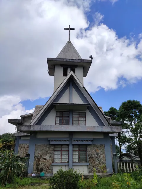
Don Bosco Church
4.2
(44)
Open 24 hours
Click for details
Nearby restaurants of Indreni Bridge
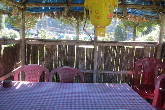
Tea by the Lake, Premium Goodricke tea lounge.
Hotel Lohit Sagar
Nesang's Gorkha cafe & restaurant
Tea by the Lake, Premium Goodricke tea lounge.
4.7
(211)
$$
Closed
Click for details
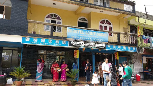
Hotel Lohit Sagar
3.8
(64)
Open until 8:30 PM
Click for details
Nesang's Gorkha cafe & restaurant
4.0
(38)
Click for details