Path of the Gods things to do, attractions, restaurants, events info and trip planning

Basic Info
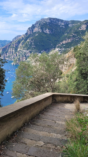
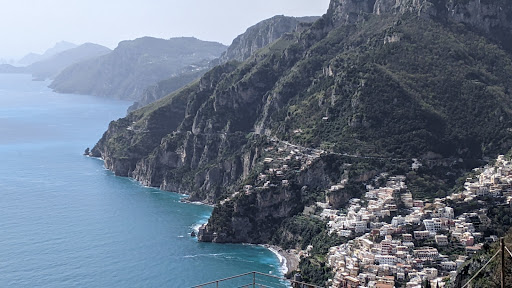
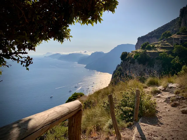
Path of the Gods
Piazza Paolo Capasso, 7, 80051 Agerola NA, Italy
4.8(2.4K)
Open until 12:00 AM
Save
spot
spot
Ratings & Description
Info
Outdoor
Adventure
Scenic
Off the beaten path
attractions: Nino Aversa Sorrento Hiking (Path of the Gods & more), Parco Corona - Bomerano, restaurants: Top-Vip Cetarell, Caffetteria il Ritrovo, L'Angolo dei Sapori, La Corte Degli Dei, Picchio Rosso, Crazy Burger Bar Paninoteca, On The Road Sushi and Grill, Punto Ristoro Il Caffè Degli Dei, Ristorante Da Giannino, Rabbit, local businesses: Chiesa di San Matteo Apostolo, Experience Amalfi Coast
Phone
+39 366 192 9884
Website
cartotrekking.com
Open hoursSee all hours
ThuOpen 24 hoursOpen
Plan your stay

Pet-friendly Hotels in Agerola
Find a cozy hotel nearby and make it a full experience.

Affordable Hotels in Agerola
Find a cozy hotel nearby and make it a full experience.

The Coolest Hotels You Haven't Heard Of (Yet)
Find a cozy hotel nearby and make it a full experience.

Trending Stays Worth the Hype in Agerola
Find a cozy hotel nearby and make it a full experience.
Reviews
Live events
Pompeii VIP Tour with your Archaeologist
Thu, Feb 12 • 12:30 PM
80045, Pompei, Campania, Italy
View details
Taste wine and cheese in a paradise
Thu, Feb 12 • 1:30 PM
80069, Vico Equense, Campania, Italy
View details
Visit Positano, Amalfi, and Ravello
Mon, Feb 16 • 8:00 AM
80067, Sorrento, Campania, Italy
View details
Nearby attractions of Path of the Gods
Nino Aversa Sorrento Hiking (Path of the Gods & more)
Parco Corona - Bomerano
Nino Aversa Sorrento Hiking (Path of the Gods & more)
4.9
(134)
Open until 12:00 AM
Click for details

Parco Corona - Bomerano
4.5
(180)
Open 24 hours
Click for details
Nearby restaurants of Path of the Gods
Top-Vip Cetarell
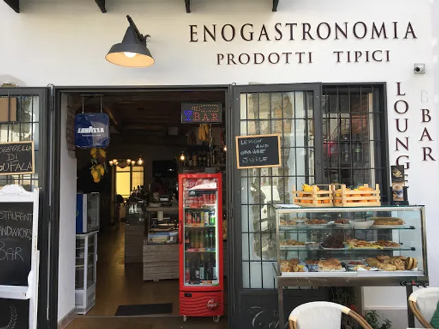
Caffetteria il Ritrovo
L'Angolo dei Sapori
La Corte Degli Dei
Picchio Rosso
Crazy Burger Bar Paninoteca
On The Road Sushi and Grill
Punto Ristoro Il Caffè Degli Dei
Ristorante Da Giannino
Rabbit
Top-Vip Cetarell
4.3
(140)
Open until 11:00 PM
Click for details
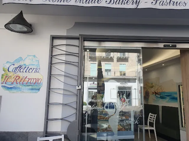
Caffetteria il Ritrovo
4.5
(150)
Open until 11:00 PM
Click for details

L'Angolo dei Sapori
4.2
(602)
Open until 12:00 AM
Click for details
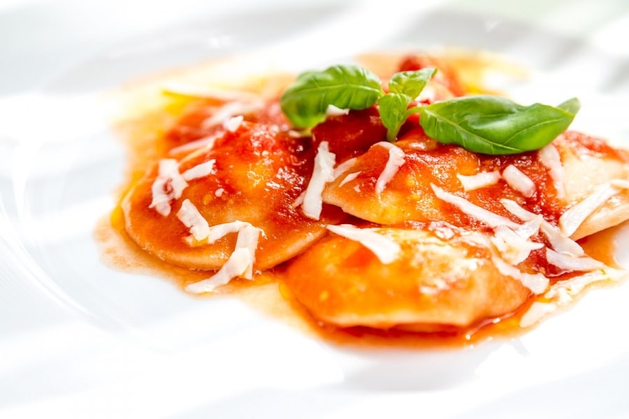
La Corte Degli Dei
4.9
(285)
Closed
Click for details
Nearby local services of Path of the Gods
Chiesa di San Matteo Apostolo
Experience Amalfi Coast

Chiesa di San Matteo Apostolo
4.4
(25)
Click for details
Experience Amalfi Coast
5.0
(14)
Click for details